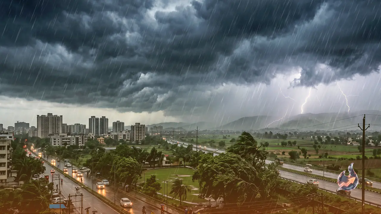

Weather across the country is shifting all at once. According to the India Meteorological Department (IMD), the period ahead is extremely delicate, and the department has flagged the next 24 hours as the most crucial. On one side the southwest monsoon is advancing rapidly, while on the other a cyclonic circulation that has formed over north India is also active. The combined effect of the two is now spreading across a vast stretch of the country, raising the risk of heavy rain, lightning strikes and dust storms blowing at 70 to 80 kilometres per hour.
The department warns that this weather churn could trigger dangerous squalls in many places, bring down trees, disrupt power supply and damage standing crops. That is exactly why farmers, travellers and people working out in the open have been asked to stay especially alert.
Which States Are At Risk
The weather is changing fast across Delhi, Uttar Pradesh, Bihar, Rajasthan, Punjab, Haryana, Madhya Pradesh and the hill states. South India and the northeastern states, meanwhile, are already under an active monsoon and continue to see steady rainfall. The IMD says that over the next 24 to 72 hours, several states could witness heavy rain with thunder and strong winds, while lightning strikes are feared in some areas.
The silver lining is that the rain will pull temperatures down and offer some respite from the heat. However, the strong winds and stormy conditions could disrupt everyday life, which is why the IMD has advised people to keep an eye on weather updates and avoid travel unless necessary.
Twin Impact of Monsoon and Western Disturbance
The southwest monsoon is currently in a strong position over south India. Kerala, Karnataka, Tamil Nadu, Andhra Pradesh and Telangana are recording good rainfall. At the same time, an active western disturbance is signalling worsening weather in Jammu and Kashmir, Himachal Pradesh and Uttarakhand. Because of the cyclonic circulation over north India, the chances of strong storms and rain have risen further in Delhi, Punjab, Haryana and western Uttar Pradesh.
The weather department expects the monsoon to pick up even more pace in the coming days. Several parts of Maharashtra, Goa and Gujarat are also showing signs of increasing rain activity, while eastern India and the northeastern states could see heavy downpours. In short, the impact of the weather will be felt simultaneously across a large part of the country.
Double Blow of Rain and Storms in Delhi-NCR
Clouds have been moving over Delhi-NCR for the past few days. According to the weather department, on 17 June the capital could see light to moderate rain along with winds blowing at more than 60 kilometres per hour. Noida, Ghaziabad, Gurugram and Faridabad are also likely to get rain with thunder. The temperature may climb to 38 degrees Celsius, but relief from the heat is expected once the rain sets in.
80 kmph Squalls to Lash Uttar Pradesh
The worst of the weather in Uttar Pradesh could hit its western and central regions. A yellow alert for rain and strong storms has been issued for several districts, including Meerut, Agra, Aligarh, Mathura, Kanpur, Jhansi, Varanasi and Prayagraj. The department has warned of winds blowing at 70 to 80 kilometres per hour here. Farmers have been advised to stay alert to protect their crops and livestock.
Rain and Lightning Threat in Bihar
Weather in Bihar is set to be highly active between 17 and 19 June. Heavy rain and storms are likely in several districts, including Patna, Darbhanga, Purnia, Katihar, Araria, Bhagalpur and Muzaffarpur. Wind speeds here could reach 60 to 65 kilometres per hour. The IMD has advised people to avoid standing in open fields and under trees.
Clouds to Rumble and Pour Over Jharkhand
An alert for heavy rain and strong winds has been issued for several districts, including Ranchi, Jamshedpur, Dhanbad, Deoghar, Dumka and Bokaro. Winds here could blow at 50 to 60 kilometres per hour. Continuous rain may lead to waterlogging in some areas, while falling temperatures will bring relief from the heat.
Dust Storms and Rain in Rajasthan
A warning for rain and storms has been issued for several districts of Rajasthan, including Jaipur, Kota, Udaipur, Bikaner, Ajmer and Alwar. Strong winds could blow at 60 to 65 kilometres per hour. Desert areas may also witness dust storms. The weather department has advised motorists to exercise particular caution.
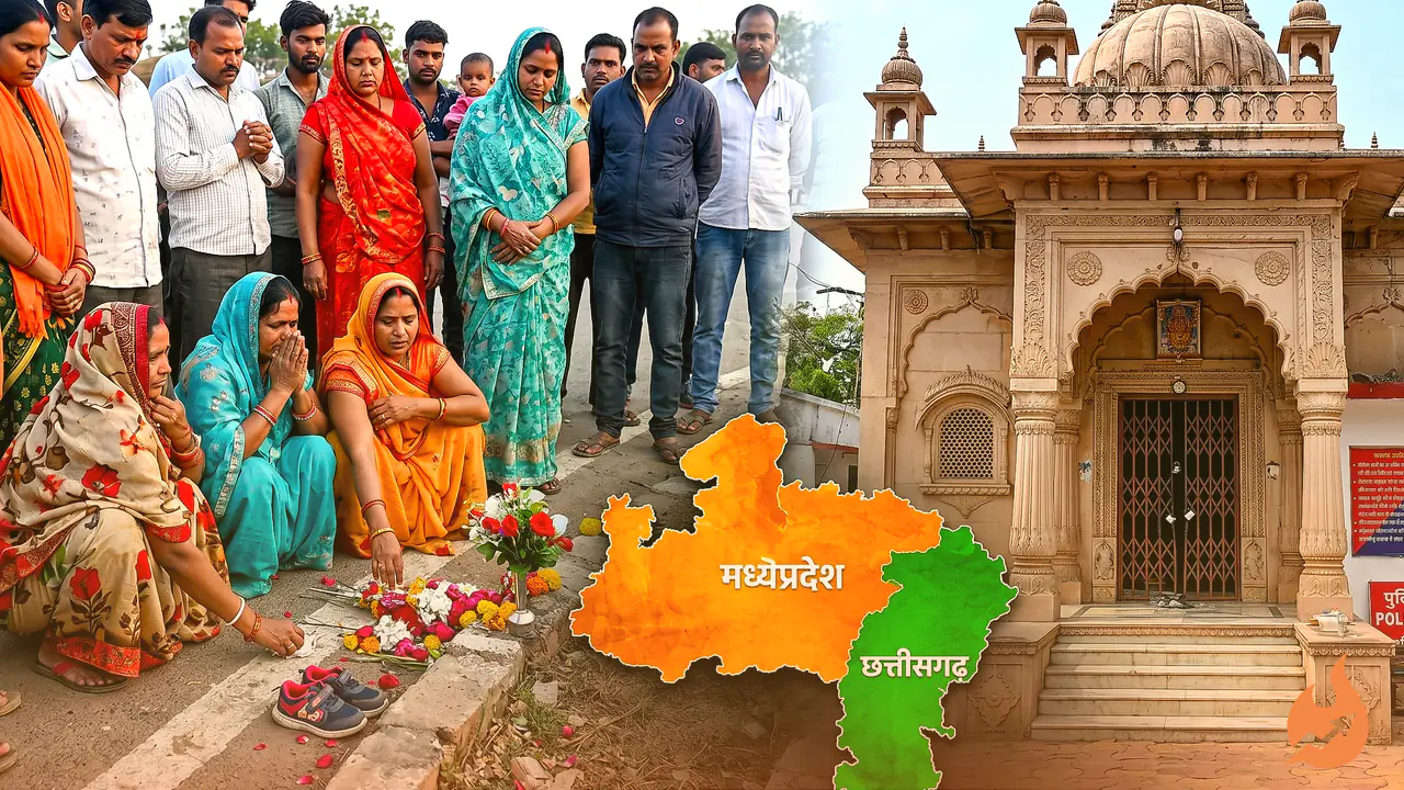
Madhya Pradesh Set for a Weather Turn
A yellow alert for rain and storms has been issued for several districts, including Bhopal, Indore, Ujjain, Gwalior, Rewa, Satna and Katni. With the monsoon advancing, most parts of the state will remain overcast, and many areas could see rain accompanied by thunder.
Threat of Stormy Winds in Punjab and Haryana
Heavy rain and strong storms are feared in Jalandhar, Amritsar, Patiala, Bathinda and Gurdaspur in Punjab. The weather department has warned of winds blowing at 70 to 80 kilometres per hour here, leaving many areas at risk of falling trees and disrupted power supply.
Weather could also turn bad in several districts of Haryana, including Ambala, Karnal, Hisar, Rohtak and Panchkula. Rain with thunder and strong winds is expected. Farmers have been advised to take special care while working in the fields.
Rain and Landslide Danger in the Hills
The hill states are also likely to see deteriorating weather, where the threat of landslides accompanies the rain. People travelling to hilly areas are therefore being advised to set out only after checking the latest weather information.