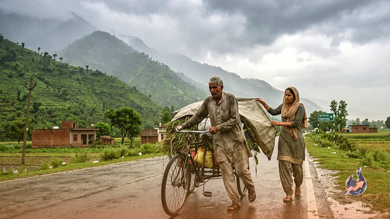

People in Haryana, who were sweltering under intense heat only a few days ago, are now enjoying a welcome break in the weather. Today, June 17, most districts of the state are likely to see partly cloudy skies, with light drizzle expected at several places. A day earlier, on June 16, Kaithal, Fatehabad, Sonipat, Hisar, Mahendragarh, Hansi and Rohtak recorded rain accompanied by strong winds.
What the Next Three Days Hold for Haryana
According to the India Meteorological Department (IMD), this spell of rain could persist over the next three days. As a result, a yellow alert for thunderstorms and rain has been declared across all 23 districts. Temperatures may dip by anywhere between 1.5 degrees and 3.1 degrees during this period. The weather, however, is expected to stay dry on June 18, with a slight rise in daytime temperatures and clouds moving in during the morning and evening hours.
For Wednesday, the IMD has once again issued a yellow alert, warning of thunderstorms, lightning and gusty winds at some locations. No weather warning, however, has been issued for Thursday.
Temperatures Below Normal, Nights Still Pleasant
The IMD noted that Tuesday was Chandigarh's third hottest day of the season, with the maximum temperature climbing to 36.9°C. In Rohtak, the mercury rose to 37.6°C. Despite this rise, the temperature stayed 2 degrees below normal, a sign that the nights remain comfortable even in mid June. Haryana's average maximum temperature has fallen by 3.1 degrees and now sits 3.5 degrees below normal.
Wind Speed and Precautions
This afternoon, winds from the west could pick up to 25 km/h, while during the evening and night the breeze from the southwest will slow to around 15 km/h. The weather office has urged residents to stay alert during rough weather, avoid standing in open spaces and keep away from electric poles and trees.
Key Advice for Rain Hit Areas
- Stay indoors, keep windows and doors shut and avoid travelling.
- Take safe shelter and do not seek cover under trees.
- Do not lie on concrete floors or lean against concrete walls.
- Unplug all electrical appliances.
- Keep away from every object that conducts electricity.
Himachal Under Warning Till June 19
The weather in Himachal Pradesh has been shifting constantly. On one hand there are spells of thunderstorms and rain, and on the other, hailstorms in several areas. The weather department has issued a warning of thunderstorms, lightning and rain across the state until June 19. The weather will turn again from Wednesday, with heavy rain likely on June 18.
As per the forecast, different parts of Himachal could witness thunder and lightning on June 17 along with strong winds blowing at 30 to 40 kilometres per hour. The rainfall is set to intensify on June 18, while June 19 too will see the impact of thunder and gusty winds in many regions. Shobhit Katiyar, director of the Shimla Meteorological Centre, said that intermittent rain, thunderstorms and strong winds could continue across the state for the next four to five days.
The department has issued an orange alert for the districts of Kangra, Chamba, Kullu, Mandi and Shimla for June 18 and 19. Winds of 30 to 40 kilometres per hour are expected during these days, along with a strong likelihood of rain in several areas.
When Will the Monsoon Arrive?
The monsoon is expected to reach Himachal Pradesh on time this year, although below normal rainfall is forecast for the season as a whole. According to the Shimla Meteorological Centre, the monsoon could enter the state around June 20 and cover the entire region by June 25.
With possible disasters in mind, the state government has already stepped up its preparations. Over the past three years the state has faced severe calamities that claimed hundreds of lives and caused losses running into thousands of crores of rupees.