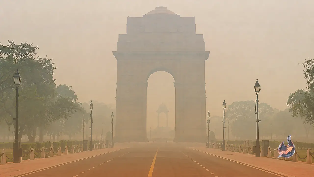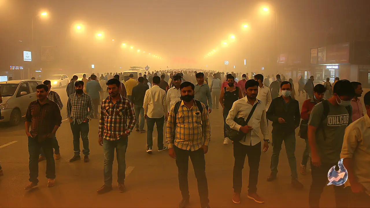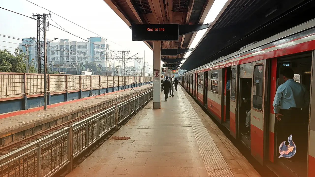



















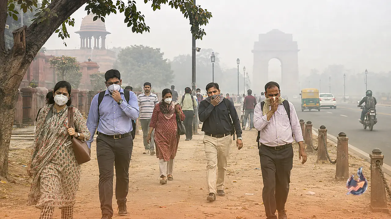

The national capital of India is currently gripped by an alarming pollution crisis. Ever since the Diwali festivities concluded, a thick shroud of smog has blanketed the entire metropolitan area, causing severe eye irritation and breathing discomfort for residents. Air quality readings have deteriorated sharply across the region, pushing the average air quality index to 366, which falls squarely into the very poor bracket. Consequently, many citizens are desperately searching for pockets within the city where the air might be marginally cleaner and more breathable.
Are There Any Truly Safe Zones in the Capital?
A careful analysis of monitoring data compiled by the Central Pollution Control Board, the Delhi government portal, and the India Meteorological Department makes it abundantly clear that not a single neighborhood is entirely pollution-free. Immediately following the festive period, the citywide average regularly slips from poor to very poor or severe categories. Even the lowest readings recorded anywhere in the city still land within the poor bracket, meaning no specific locality can be certified as safe from health hazards.
Insights Drawn From Multi-Year Average Figures
When examining historical patterns across approximately 38 monitoring stations, the southern and central zones consistently emerge as the cleaner parts of the city. Looking back at the onset of winter in 2024, the IHBAS facility in Dilshad Garden registered the lowest average at roughly 167. This was followed by Lodhi Road, Najafgarh, Sri Aurobindo Marg, and Aya Nagar, all of which experienced lower contamination levels. Conversely, northern and western areas such Jahangirpuri, Anand Bihari, Mundka, Rohini, and Bawana proved to be the most heavily polluted. Overall, southern zones maintained an average that stayed 30 to 40 points below northern figures.
Current Real-Time Data and Relatively Cleaner Pockets
Recent real-time metrics recorded around November continue to reflect this established trend, even as city averages surge past the 300 to 400 threshold. Locations like Maidan Garhi, the IGNOU campus, Sri Aurobindo Marg, the Cantonment area, Tikri Kalan, Ghummanhera, and Lodhi Road manage to register comparatively lower indices. Morning updates from November 9 show these specific spots lingering in the poor category, whereas multiple stations in the north-west have spiraled down into severe territory.
Why Certain Localities Fare Better Than Others
The relatively lower pollution levels in southern neighborhoods like Lodhi Road, Vasant Kunj, Saket, Hauz Khas, Aya Nagar, and the surrounding areas of Maidan Garhi can be attributed to higher green cover, lighter traffic density, and fewer industrial emissions. These geographical and environmental factors help keep contaminant concentrations lower than the city average. Parts of Najafgarh and the outer south-western fringes also show better numbers occasionally, alongside central pockets near Lodhi Road.
Important Precautions for Residents
It is vital to recognize that these preferred zones are not entirely safe, but rather less severely affected. During the winter months, sluggish wind speeds and smoke drifting in from neighboring agricultural regions impact the entire metropolis. Therefore, individuals choosing a residential location should monitor the AQI daily via applications like the CPCB Sameer app or state portals, maintain air purifiers indoors, and wear protective masks outdoors. Over the long term, well-vegetated parts of south and central Delhi remain the more favorable alternatives.