






















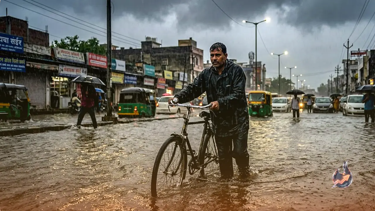

Across India, the monsoon is now fully active, signaling a dramatic shift in weather conditions. Regions that were suffering from intense heat and humidity only a few days ago are now experiencing heavy downpours, thunderstorms, and violent winds. With river water levels rising, waterlogging in low-lying areas, and an increasing risk of landslides in mountainous states, the situation is critical. The India Meteorological Department (IMD) has issued warnings for heavy to very heavy rainfall, strong squalls, lightning, and isolated hailstorms for July 8. The agency notes that continuous moisture influx from the Bay of Bengal and the Arabian Sea will keep the weather highly volatile over the next 48 to 72 hours. Consequently, residents are urged to closely monitor weather alerts and adhere strictly to administrative guidance.
Monsoon Expansion and Activity
According to the IMD, the southwest monsoon has successfully advanced into new parts of Gujarat, Rajasthan, and Haryana. A cyclonic circulation in the lower troposphere over southwest Rajasthan, combined with an active monsoon trough, is fueling widespread rainfall across major portions of the country. The impact is clearly visible across Northern, Central, and Eastern India, as well as the Western coast. Weather officials have issued varying levels of alerts for states including Delhi, Uttar Pradesh, Bihar, Jharkhand, West Bengal, Rajasthan, Madhya Pradesh, Punjab, Haryana, Uttarakhand, Himachal Pradesh, Jammu and Kashmir, Gujarat, and Maharashtra. In some areas, wind speeds may reach 70 to 80 kilometers per hour, while mountainous regions remain at high risk of landslides and flash floods.
Safety Precautions and Preparedness
The weather department anticipates above-normal monsoon activity for the next three days. While the moisture-laden systems are beneficial for Kharif crops in rural areas, they pose significant risks of traffic disruption and waterlogging in urban centers. Disaster management departments in several states have been placed on high alert to handle any emergency situations. The public is strongly advised to stay away from open fields, river banks, and electrical poles. Farmers and rural residents have been warned to exercise extreme caution during thunderstorms, and tourists visiting mountainous states are advised to verify the latest weather information before traveling. Administration officials warn that weather conditions can change rapidly and should not be taken lightly.
Regional Outlook for Key Areas
The weather in Delhi-NCR is expected to be significantly affected on July 8. The IMD predicts heavy rainfall accompanied by thunderstorms, with wind speeds reaching 70 to 80 kilometers per hour. Temperatures are expected to peak at 29 degrees Celsius, with a minimum of 27 degrees Celsius. Warnings have been issued regarding potential tree collapses, power outages, and traffic congestion due to the high-velocity winds. Residents are advised to avoid non-essential travel.
In Uttar Pradesh, the monsoon effect is intensifying from Purvanchal to Bundelkhand. Districts such as Mathura, Bulandshahr, Jhansi, Mahoba, Jalaun, Varanasi, Prayagraj, Ayodhya, and Deoria are expected to face heavy rain and gusts up to 80 kilometers per hour. Lucknow is forecast to have a maximum temperature of 31 degrees and a minimum of 28 degrees Celsius. Similarly, Bihar has received alerts for heavy rain and lightning across several districts, including Patna, Gaya, Saran, Siwan, Vaishali, Muzaffarpur, Darbhanga, Madhubani, Purnia, Katihar, Bhagalpur, Araria, and Kishanganj, with wind speeds reaching 70 kilometers per hour.
In Jharkhand, heavy rain and winds of 60 to 65 kilometers per hour are expected in Palamu, Garhwa, Ranchi, Dumka, Jamshedpur, Hazaribagh, Deoghar, Latehar, Khunti, and Simdega. Ranchi's temperatures are expected to hover between 25 and 29 degrees Celsius. Meanwhile, Gujarat remains a primary focus, with the southern and Saurashtra regions bracing for the most significant monsoon impact, prompting local authorities to remain on high alert.