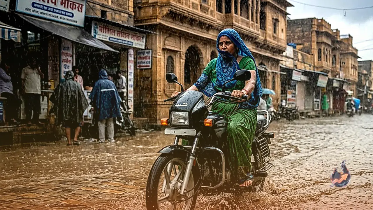






















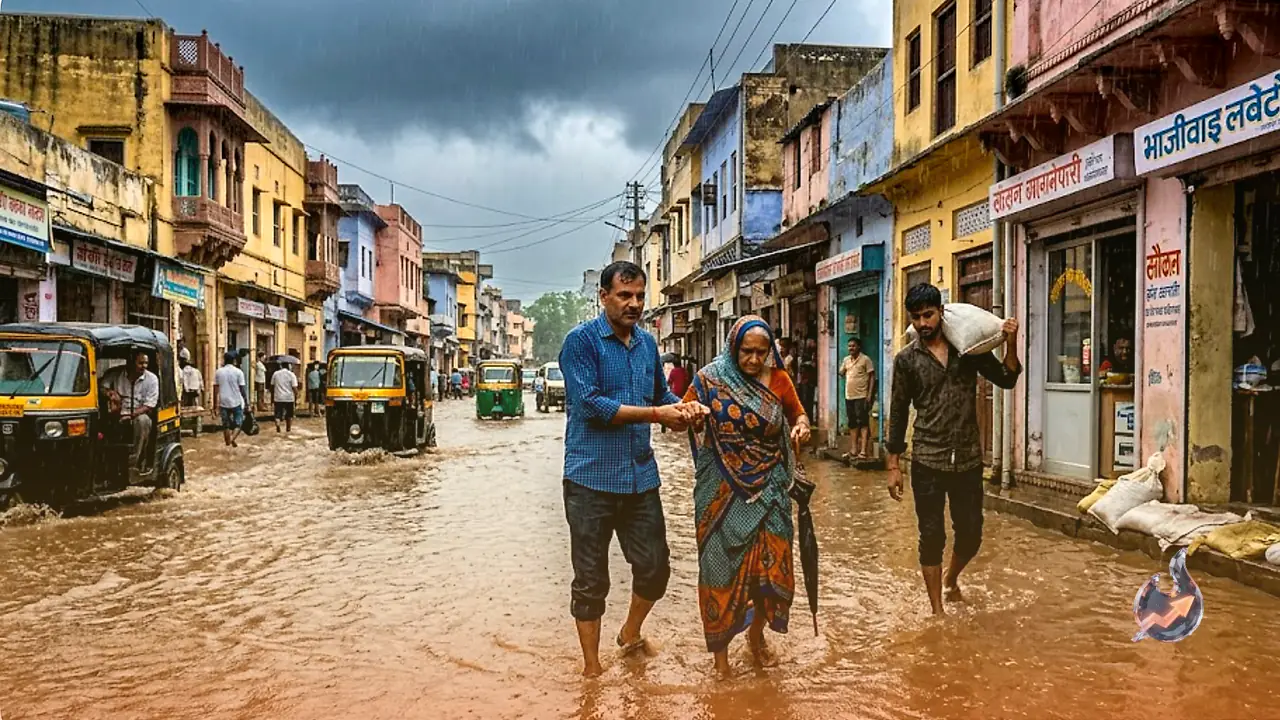

The Southwest Monsoon is currently gathering significant momentum across Rajasthan, with its impact now clearly visible in most parts of the state. According to the latest update from the India Meteorological Department (IMD), the monsoon has advanced further into parts of the North Arabian Sea, encompassing the entirety of Gujarat and additional regions within Rajasthan. At present, the northern limit of the monsoon is passing through Barmer, Jodhpur, and Rajgarh in Churu. The Jaipur Meteorological Centre anticipates that the monsoon will cover the remainder of Rajasthan within the next two to three days. An alert has been issued for 40 districts across the state, warning of thunderstorms, lightning strikes, and gusty winds reaching speeds of 40 to 50 kilometers per hour.
Red Alert for Heavy Rainfall and Meteorological Systems
The severe weather is primarily driven by a 'well-marked low-pressure area' situated over East Madhya Pradesh and its surrounding regions, which remains highly active. The cyclonic circulation associated with this system extends up to 9.6 kilometers above mean sea level. This system is expected to move in a west-northwest direction over the next 24 hours while gradually weakening. Additionally, a cyclonic circulation persists at an altitude of 1.5 kilometers over Southwest Rajasthan. Furthermore, a seasonal trough extending from Southwest Rajasthan to Bangladesh is consistently supplying moisture to the state. These factors combined are expected to keep the monsoon active throughout Rajasthan for the next three to four days.
Warning for Baran, Jhalawar, and Kota
The Jaipur Meteorological Centre has issued a specific warning for heavy rainfall in South-Eastern and Eastern Rajasthan for July 8 and July 9. Extremely heavy rainfall is expected at isolated locations within the Udaipur and Kota divisions. However, there is an expectation that the intensity of these heavy rain events will gradually begin to subside starting July 10. Notably, a warning for extremely heavy rainfall has been issued for Baran, Jhalawar, and Kota districts on July 8, where thunderstorms and gusty winds of 40 to 50 kilometers per hour are expected to pose significant challenges.
Rainfall Forecast Across Districts
In Eastern Rajasthan, districts including Ajmer, Banswara, Chittorgarh, Dungarpur, Pratapgarh, Salumbar, Udaipur, Alwar, Beawar, Bharatpur, Bhilwara, Bundi, Dausa, Deeg, Dholpur, Jaipur, Jhunjhunu, Karauli, Khairthal-Tijara, Kotputli-Behror, Rajsamand, Sawai Madhopur, Sikar, Sirohi, and Tonk are expected to experience rain accompanied by lightning and gusty winds of 40 to 50 kilometers per hour. Meanwhile, Western Rajasthan districts such as Bikaner, Churu, Didwana-Kuchaman, Hanumangarh, Jalore, Jodhpur, Nagaur, Pali, Phalodi, and Sri Ganganagar are likely to see light to moderate rainfall. In the capital, Jaipur, the sky will remain partly to mostly cloudy throughout the day, with prospects of light to moderate rain and winds of 40 to 50 kilometers per hour. The forecast predicts a maximum temperature of approximately 34 degrees Celsius and a minimum of 26 degrees Celsius for Jaipur. Authorities have advised the public to avoid low-lying areas, riverbanks, and waterlogged zones for safety.