








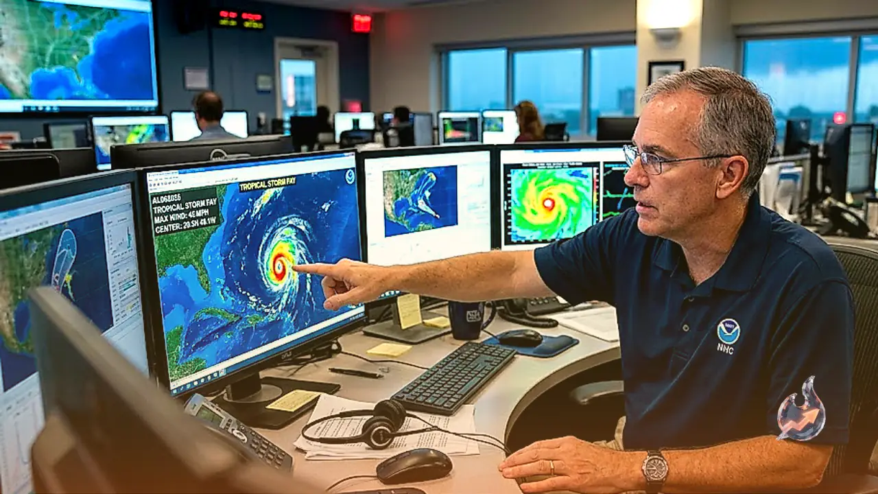














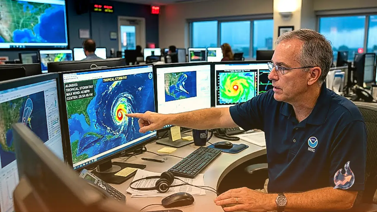

A new cyclonic disturbance has formed over the open waters of the Atlantic Ocean, marking the arrival of the sixth named system of the 2026 storm cycle. Designated as Tropical Storm Fay, the system was officially identified by meteorological tracking bulletins on September 20. Current coordinates place the system far out at sea, leaving no immediate direct threat of destructive winds or storm surge for populated coastlines across the United States. Even so, atmospheric researchers are following its progress closely as part of a remarkably unusual year across the tropical Atlantic basin.
Understanding the Classification Between Fay and a Hurricane
When atmospheric disturbances generate concentrated rotational winds over oceanic waters, meteorologists classify them into specific categories based strictly on sustained wind velocities. At present, Fay ranks as a tropical storm. This status signifies that its core circulation and wind speeds have progressed far beyond an ordinary rain system, yet remain below the threshold of severe cyclonic intensity. A system earns the technical designation of a hurricane only after its sustained maximum wind speeds reach or exceed 119 kilometers per hour. Because Fay maintains wind speeds well below that technical benchmark, it does not qualify as a hurricane.
Current Location and Projected Movement Across the Ocean
Data recorded at 5 a.m. local time on Sunday located the center of Tropical Storm Fay approximately 725 kilometers southwest of the Azores archipelago in the central Atlantic. Wind speeds within the rotating core were measured at around 72 kilometers per hour. The system has been charting a slow course toward the north-northeast at an average forward speed of roughly 8 kilometers per hour. Atmospheric tracking suggests that Fay will maintain this general north-northeasterly heading for approximately twenty-four hours before altering course toward the southwest beginning on Monday.
Southern Florida Remains Safe From Direct Impact but Faces Local Downpours
Because the cyclonic center sits remote from continental landmasses, no tropical storm watches or warnings have been raised for southern Florida. Residents in urban centers like Miami and Fort Lauderdale are instead facing an entirely separate local weather dynamic driven by extreme heat and suffocating humidity. Afternoon and evening hours are expected to trigger intense thunderstorms accompanied by localized torrents of rain. In low-lying urban pockets and corridors with inadequate storm drainage, rapid surface flooding could submerge roadways, with some neighborhoods receiving several inches of accumulated precipitation over a short span.
Fay Likely to Dissipate Without Strengthening Into a Hurricane
The probability of Fay intensifying into a full-scale hurricane remains minimal. While forecasters note that the system might gain modest organization and strength over the next 12 to 24 hours, unfavorable environmental factors will soon halt its growth. Hostile upper-level winds combined with the intrusion of dry atmospheric air masses are projected to erode the system's structural cohesion. By Tuesday, Fay is anticipated to degenerate into an ordinary low-pressure remnant, followed by complete dissipation over the ocean before the end of the week.
A Hundred-Year Atmospheric Anomaly in the Atlantic Basin
The progression of the 2026 Atlantic season stands out for its extraordinary lack of intense cyclonic development. The official season runs through November 30, and if no hurricane forms across the basin by that date, it will represent only the third such occurrence in documented modern history. The only two prior seasons to conclude without a single hurricane were recorded in 1907 and 1914. Since the advent of satellite tracking and modern observation technology, the Atlantic basin has never advanced this deep into the calendar year without generating at least one hurricane.