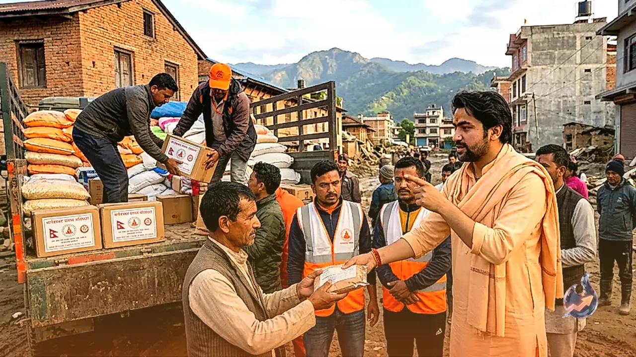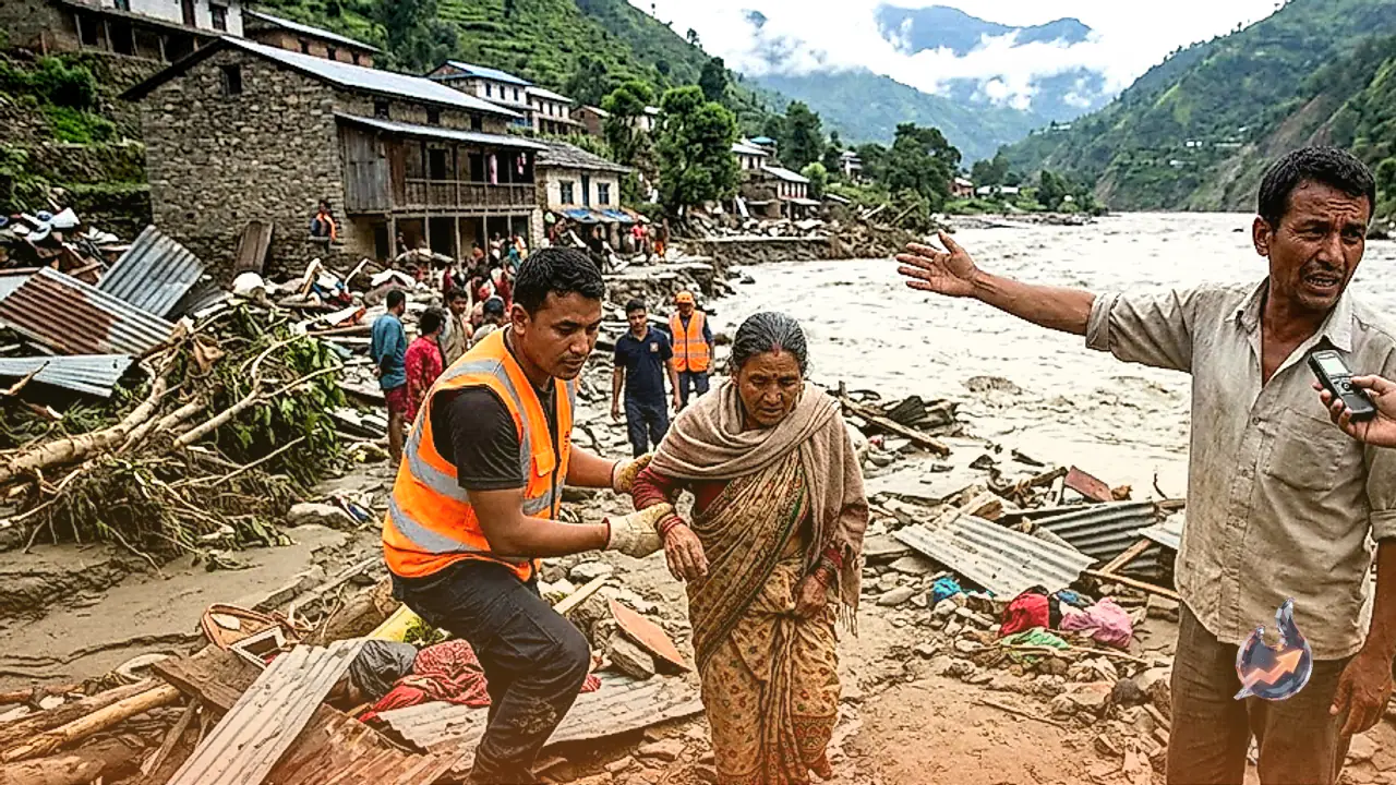
























Nepal, which is already reeling from a deadly natural catastrophe, faces the grim prospect of a secondary flood wave after an artificial lake formed upstream in Tibet along a key tributary of the Bhote Koshi River. Satellite imaging has confirmed that water levels inside the newly impounded reservoir are escalating rapidly. Authorities fear that a sudden breach of this unstable barrier could unleash another massive torrent into downstream valleys, prompting urgent warnings for communities along the riverbanks to move to safe ground immediately.
The Chinese government formally notified the Ministry of Foreign Affairs of Nepal after monitoring satellite data that revealed the formation of the barrier lake. According to the satellite observations, the natural blockage occurred along the riparian zone of the Lhende River in Tibet, located roughly 18 kilometers upstream from the Rasuwagadhi border crossing. The obstruction has trapped water over an area measuring approximately 0.11 square kilometers, creating immense hydrostatic pressure behind the temporary dam.
Official Warnings and Disaster Management Response
Nepal's National Disaster Risk Reduction and Management Authority (NDRRMA) analyzed the spatial imagery to evaluate the threat to downstream settlements. The agency wrote on X that the flow restriction on the Lhende River created a 0.11 square kilometer lake, elevating the danger of a secondary flash flood. The authority urged residents in Rasuwa district and adjoining low-lying areas along the Bhote Koshi corridor to exercise maximum caution and prepare for potential evacuations.
Genesis of the Initial Glacial Outburst Disaster
The initial disaster in Nepal claimed more than 350 lives and left thousands of people missing. The origin of that catastrophic inundation lay high in the mountains of Tibet, where a glacial lake sat at an elevation of 17,000 feet. Beneath a heavy surface layer of ice, tens of millions of cubic meters of water had accumulated. A massive section of the glacier, spanning roughly 2,000 feet in width, suddenly broke free from the main ice body.
The 2,000-foot ice mass plunged down approximately 4,000 feet from its original 17,000-foot altitude. The impact exerted immense pressure, fracturing the mountain slope and dislodging massive boulders. This collapse instantly released about 20 million cubic meters of water, equivalent to nearly 20 billion liters (2,000 crore liters), which roared downhill directly into the channel of the Bhote Koshi River.
Hydraulic Impact on the Narrow Bhote Koshi Channel
To put the scale of 20 billion liters into perspective, it represents the volume of water that would accumulate if the Rasuwa region experienced heavy, continuous rainfall for 30 consecutive days. Instead of accumulating over a full month, this colossal volume poured into the Bhote Koshi River within a matter of minutes. The narrow river channel was completely incapable of accommodating such a sudden surge.
Driven by gravity and extreme kinetic velocity, the debris-laden floodwaters tore through the river valley. Bridges, residential homes, shops, commercial markets, hydroelectric plants, and dams along the river path were swept away. Experts note that the destructive potential stemmed not only from the sheer volume of water, but also from the extreme speed generated by the steep mountain slopes. With a new barrier lake now swelling upstream, local authorities remain on high alert.