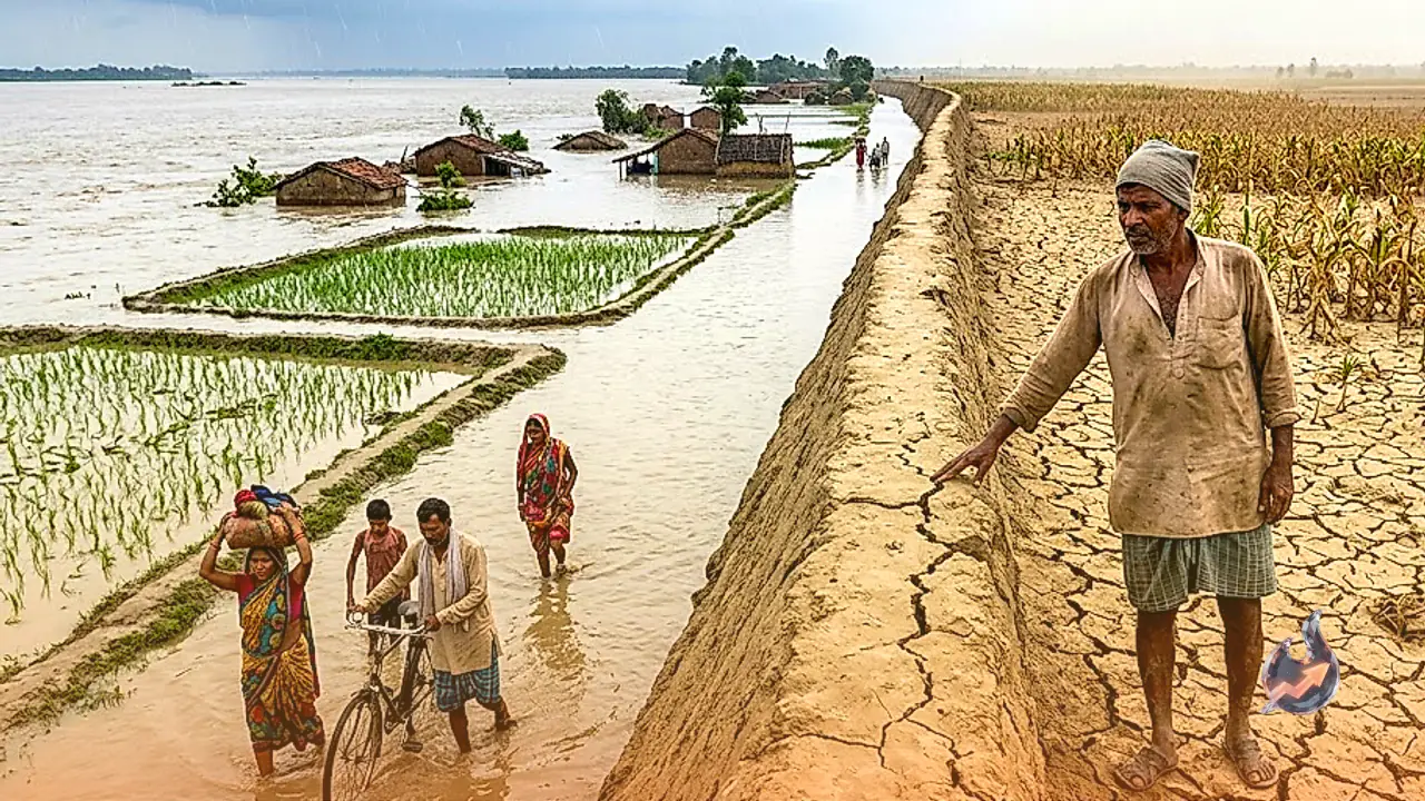

Bihar's monsoon is behaving like two different seasons at once this year. While rivers in the northern districts are swelling dangerously due to relentless rain, several southern districts are staring at drought-like conditions. The weather department has issued a heavy to very heavy rainfall warning for large parts of the state on 16 and 17 July, today and tomorrow.
Districts Under Heavy Rain Alert
Weather scientists say Kishanganj, Katihar, West Champaran and Araria are likely to receive torrential rain over the next two days. An orange alert has also been sounded for several northern districts including Saharsa, Madhepura, Purnia and Supaul, with authorities urging residents to stay cautious. Gusty winds of 30 to 40 kilometres per hour are expected across north and east Bihar during this spell, raising the risk of fallen trees and snapped power lines. Meanwhile, the sky is expected to stay overcast across the capital Patna and the rest of south Bihar today, though only isolated pockets there are likely to see light rain or thunderstorms.
Rainfall 41 Percent Below Normal, South Bihar Faces Drought-Like Conditions
The monsoon has been sluggish across Bihar since the start of the season this year. Figures show that rainfall across the state was 41 percent below normal as of 14 July. That deficit is exactly why the weather map looks split down the middle: farmers in several southern districts are struggling to find enough water for their crops, pushing those areas toward drought-like conditions, even as northern districts continue to receive continuous rain.
Wednesday's Rain and Temperatures Across the State
Earlier on Wednesday morning, heavy rain was recorded in Patna, Bagaha, East Champaran, Begusarai and Samastipur. Gaya, Jehanabad, Sitamarhi and Purnia also saw heavy downpours through the day. In Begusarai, Purnia and Jehanabad, the weather turned suddenly after noon, bringing sharp spells of rain. On the temperature front, Kaimur was the hottest district in the state on Wednesday at 37.3 degrees Celsius, while Patna recorded a maximum of 35 degrees Celsius.
Rain in Nepal Pushes Bihar's Rivers Above the Danger Mark
Along with the rainfall inside north Bihar, heavy rain in the hill areas of neighbouring Nepal has added to the trouble, sending water levels surging in the rivers that cross the border into Bihar. The Kosi, the Gandak and the Kamla Balan, among other major rivers, are currently flowing above the danger mark. On Tuesday, these rivers recorded their highest water levels of the year so far, adding to worries for people living in low-lying areas along their banks.
Ganga's Water Level Rises in Patna as Barrage Releases 1.75 Lakh Cusecs
The rising rivers are also being felt in the capital, where the water level of the Ganga in Patna has begun climbing steadily. Given the situation, all 36 gates of the Gandak barrage at Valmikinagar have been partially opened, releasing around 1 lakh 75 thousand cusecs of water into the river. The sudden release of such a large volume of water has sent floodwater into the Valmikinagar forest area and the low-lying settlements nearby. The administration has issued an alert for the affected areas and asked residents to remain watchful.
What the Weather Has in Store Over the Coming Days
The weather department expects the spell of heavy rain to continue across several districts of Bihar for the next seven days. Between 16 and 20 July, continuous heavy rainfall is forecast for Araria, Kishanganj, Katihar, East and West Champaran, Bhagalpur and Jamui. In Patna, Thursday is expected to stay partly cloudy through the day, with one or two spells of rain or thundershowers likely in parts of the city, which could bring a slight dip in temperatures.