























Residents in Maharashtra's eastern district of Gadchiroli woke up to unexpected tremors early Thursday morning as a mild earthquake shook the region. The seismic movement was experienced during the early hours, prompting several alarmed citizens to step out of their homes. According to seismic monitoring data, the earthquake measured 3.6 on the Richter scale and struck at approximately 4:36 AM, centering around the Sironcha area.
Magnitude, Epicenter, and Impacted Areas
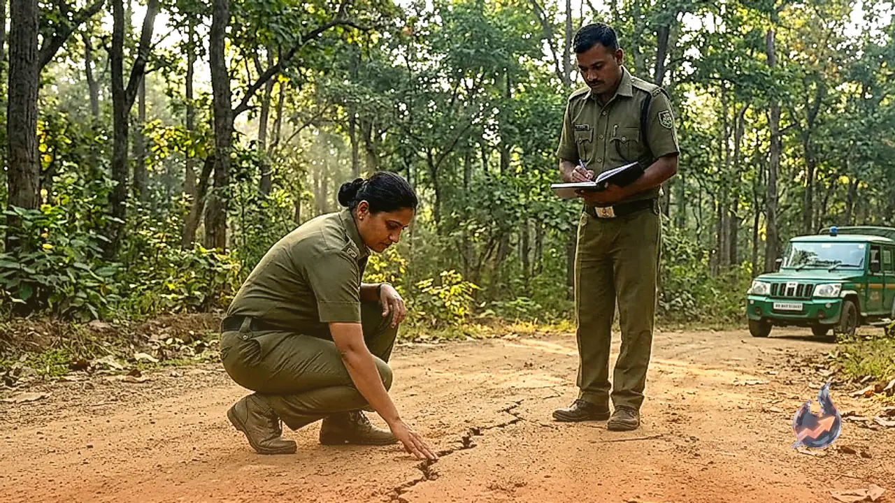
Seismological details indicate that the hypocenter of the quake in the Sironcha-Aheri belt was located at a shallow depth of roughly 10 kilometers beneath the Earth's surface. The epicenter was identified within the reserved forest patch of Sironcha taluka. The tremors occurred at 4:36 AM while most residents were asleep, creating moments of panic across the locality. Alongside Sironcha, noticeable vibrations were also reported from the neighboring Nagepalli zone.
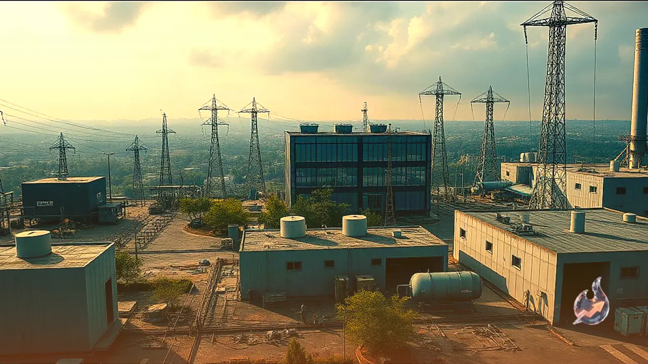
Fortunately, owing to the mild intensity of the quake, no casualties or damage to property have been reported from any part of the district. Local authorities confirmed that infrastructure across Sironcha and adjoining villages remains completely intact. However, the sudden morning disturbance left local communities temporarily anxious about potential foreshocks or aftershocks.
Recent Pattern of Tremors Across Maharashtra and Beyond
The event in Gadchiroli comes amidst a series of minor seismic occurrences across Maharashtra over recent weeks. On August 14, tremors measuring 3.4 on the Richter scale jolted Nashik district. Just three days prior to the Nashik event, on August 11, the coastal district of Palghar recorded two successive earthquakes within a brief window, registering magnitudes of 3.2 and 3.4 respectively.
The broader region has seen increased subterranean activity. During mid-August, Himachal Pradesh as well as neighboring Afghanistan experienced seismic events on four separate occasions. This recurring seismic activity across various parts of India and nearby regions has drawn attention to underlying geological shifts occurring within the Indian subcontinent.
The Geological Causes Behind Earthquakes
From a scientific standpoint, the Earth's outermost shell is divided into several rigid tectonic plates that continuously move over the semi-fluid mantle beneath them. As these tectonic plates grind against each other, collide, or slide past fault lines, immense friction builds up over time along their boundaries.
When the stress exceeds the strength of the surrounding rock formations, the stored mechanical energy is released abruptly in the form of seismic waves. These waves travel through the crust to the surface, causing the ground motion experienced as an earthquake. Geologists explain that while low-magnitude quakes like the 3.6 intensity event in Gadchiroli rarely cause structural damage, they reflect ongoing stress release within tectonic boundaries.