






















Atmospheric conditions across Rajasthan are shifting toward stability following a spell of rain driven by active weather systems in the region. Over the past 24 hours, parts of eastern Rajasthan witnessed light to moderate precipitation accompanied by thunderstorms, bringing mild daytime relief to several pockets. In sharp contrast, western regions of the desert state remained completely dry. Current meteorological assessments indicate that rainfall will weaken substantially across most parts of the state starting October 19, ushering in a prolonged period of dry and sunny weather.
Current Rain Distribution and Temperature Trends Across the State
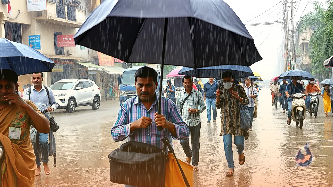
During the last 24 hours, cloud development over eastern Rajasthan triggered scattered showers across multiple districts. Nagarfort in Tonk district recorded the highest rainfall in the state with 23 mm of precipitation, accompanied by thunder. Light rain and localized drizzle were also observed on October 18 in parts of Jaipur, Kota, Ajmer, and Bharatpur divisions. These localized showers caused a modest dip in temperatures across eastern pockets, providing temporary respite from humid conditions.
Conversely, western Rajasthan experienced virtually no cloud cover, leading to bright sunshine and elevated daytime temperatures. Barmer registered the highest maximum temperature in the entire state at 38 degrees Celsius. Cities across the arid western belt continue to experience noticeable warmth during the afternoon hours. With dry air expected to dominate the state over the coming days, daytime temperatures are likely to hold steady or see slight upticks, while nighttime temperatures will gradually trend downward as skies clear.
Atmospheric Drivers and Regional Cyclonic Circulations
The recent precipitation was triggered by an array of synchronized weather features prevailing over northwest India. A cyclonic circulation associated with a western disturbance remains situated over Himachal Pradesh and adjoining Punjab, with a trough extending across the mid-tropospheric levels. This upper-air system helped channel moisture into the northern and eastern plains.
Simultaneously, a low-level cyclonic circulation has been active over southern Rajasthan and neighbouring regions, extending up to an altitude of 1.5 km above sea level. In addition, an atmospheric trough extends from southwest Rajasthan to the northeast Arabian Sea at an altitude of 3.1 km. The convergence of these mechanisms drew maritime moisture inland, resulting in the recent showers across parts of eastern Rajasthan. However, these systems are now weakening and tracking eastward, paving the way for predominantly dry weather across the state starting October 19.
Division-Wise Outlook From October 19 Onward
From October 19, the weather department has issued no major warnings or heavy rain alerts for the state. Isolated pockets within Jaipur, Kota, Ajmer, and Bharatpur divisions may still encounter brief local cloud buildups with light showers or thunder due to lingering surface moisture. Beyond these isolated pockets, the vast majority of the state will witness clear skies and bright sunshine.
In western Rajasthan, encompassing districts within Jodhpur and Bikaner divisions, dry weather is forecast to persist over the next 4 to 5 days. Rain chances in these areas remain virtually zero. Strong daytime sun will keep temperatures high in border towns such as Jaisalmer, Bikaner, Barmer, and Jalore. With no broad storm activity or severe weather predicted, routine daily life and transit will proceed without major weather interruptions.
Fresh Western Disturbance Approaching on October 23 and 24
This dry interim may be interrupted toward the middle of next week as another weather feature approaches northwest India. A new western disturbance is likely to become active over parts of north-western Rajasthan on October 23 and 24. The arrival of this system could trigger a fresh spell of cloudiness across border districts and northern belts.
The overall strength of this forthcoming disturbance and the specific districts it will impact most significantly will be clarified in upcoming regional forecasts. Should the system draw sufficient moisture, localized light precipitation and gusty winds could reappear in parts of northwest Rajasthan. Until then, dry and stable conditions are set to prevail through at least October 22 across virtually the entire state.
Advisories for Farmers and Grain Protection Measures
Given the recent scattered rain and the dry spell forecast ahead, agricultural advisories have been issued for growers across Rajasthan. The harvesting and threshing of Kharif crops are in full swing across several regions. In light of recent showers, farmers have been urged to take necessary precautions to safeguard harvested crops lying in open fields and threshing floors by transferring them to covered sheds or using tarpaulins.
Similarly, operators and traders at agricultural produce market yards (mandis) have been advised to arrange proper coverings to prevent loose grain, oilseeds, and other commodities from being damaged by any stray moisture. The forecast of predominantly dry weather over the next 4 to 5 days presents an ideal window for farmers to dry, thresh, and safely store their harvested produce. Additionally, this clear weather window allows growers to proceed unhindered with field preparation and initial ploughing for upcoming Rabi season sowing.