






















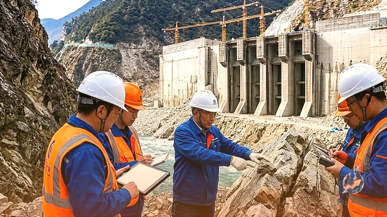

China frequently touts its technological prowess, but the country's engineering ambitions have often faced skepticism on the global stage. Now, the nation's own researchers have cast a shadow of doubt over one of its most prestigious and strategically significant initiatives. The massive hydropower project under construction in the Great Bend area of the Yarlung Tsangpo River in Tibet's Medog County was intended to demonstrate Beijing's engineering dominance. However, a recent scientific study suggests that this $147 billion endeavor faces immense risks, primarily due to the unstable geological environment in which it is being built.
The Threat of the Paizhen Fault
According to a study published in the journal 'Sedimentary Geology and Tethyan Geology,' the colossal structure sits directly atop the Paizhen Fault. This active tectonic fault line has been experiencing geological instability since the Pleistocene epoch, dating back approximately 2.6 million years. The researchers behind the study explicitly warned that the fault's ongoing activity will significantly jeopardize the structural integrity of all surrounding infrastructure, including the main dam, powerhouses, tunnels, bridges, and the vast reservoir area. The findings suggest that the site's geological volatility is far greater than previously acknowledged by project planners.
Engineering Risks and Landslides
The research report highlights that continuous movement along the fault line could destabilize the nearby mountain slopes and rock formations. This creates a high probability of massive landslides and rockfalls, which could severely compromise the safety of the dam's subterranean infrastructure and cavernous powerhouse structures. Scientists have urged developers to incorporate rigorous geological monitoring, slope reinforcement, and specific fault-activity mitigation strategies into every phase of the construction. The failure to address these variables could render the entire multi-billion-dollar investment vulnerable to natural disasters.
Validation of Long-Standing Indian Concerns
For years, India has voiced significant concerns regarding the construction of dams on the upper reaches of the Yarlung Tsangpo, which flows into Arunachal Pradesh as the Siang and eventually becomes the Brahmaputra in Assam. New Delhi has repeatedly urged Beijing to ensure transparency, share hydrological data, and consider the environmental risks, particularly given the region's susceptibility to earthquakes and glacier-related hazards. While China has consistently dismissed these warnings, the latest report from its own scientific community provides a significant evidentiary basis for the apprehensions that India has maintained for over a decade.
Regional Strategic and Environmental Stakes
The implications of this project extend far beyond engineering challenges. The river is a lifeline for millions living in India's northeastern states. Any structural failure, operational mishap, or unexpected release of water could have catastrophic consequences for the downstream population. This realization has intensified the international demand for greater accountability and cross-border cooperation. India's insistence on receiving detailed information is now backed by scientific evidence that suggests the location of the project is inherently prone to geological volatility.
Scope and Scale of the Project
Launched in 2025, the project was envisioned to generate approximately 60 gigawatts of electricity. Once completed, it would surpass the Three Gorges Dam as the world's largest hydroelectric facility. While Beijing maintains that the facility utilizes a 'Run-of-the-River' model designed to minimize water storage issues and provide clean power, the revelation of the active fault line has fundamentally altered the conversation. The sheer cost and capacity of the project are being weighed against the potential for catastrophic failure, forcing a critical re-evaluation of China's most ambitious infrastructure plan in the region.