




















Following a week of subdued rainfall and sunny intervals, Himachal Pradesh is preparing for another spell of active monsoon weather. According to the Meteorological Centre in Shimla, monsoon activity is expected to intensify across the state from the late evening of August 30 and continue through September 3. Heavy rainfall is forecast during this period, prompting weather authorities to issue a yellow alert for six major districts on September 1, including the state capital Shimla. Officials have warned of potential surges in water levels across rivers and local streams, alongside reduced visibility on hill roads over the next four days.
Fresh Spell to Begin on August 30 with Heavy Rain Alert for September 1
Monsoon activity across Himachal Pradesh had weakened over the past week, leading to bright sunshine in most areas and a noticeable rise in daytime temperatures. However, light to moderate rainfall was recorded in parts of Sirmaur, Kangra, Bilaspur, and Una districts over the preceding 24 hours. Sandeep Sharma, a senior scientist at the Shimla Meteorological Centre, stated that Nahan in Sirmaur district recorded the highest rainfall at 50 mm, while Kangra and Bilaspur received approximately 35 mm of rain each. Over August 28 and 29, weather conditions are likely to remain relatively quiet, with brief showers lasting one to two hours expected during the afternoon or evening in mid-hill districts.
The weather system is anticipated to regain strength from the late evening of August 30, bringing widespread light to moderate precipitation across the plains and mid-hill zones until September 3. Isolated locations in Kangra, Sirmaur, and Bilaspur are likely to experience heavy showers on August 31. The intensity of rainfall is expected to peak on September 1, when a yellow alert for heavy rain will be active across Chamba, Kangra, Mandi, Solan, Bilaspur, and Sirmaur districts. Rain showers are predicted to maintain their intensity in several places on September 2 and 3 as well.
Rising Temperatures to Drop Once Monsoon Returns
The break in continuous rains over recent days caused day temperatures to climb across the state. In high-altitude areas like Shimla, maximum temperatures hovered between 24°C and 25°C, while Palampur recorded temperatures between 28°C and 29°C. In the lower plains, including Hamirpur, Bilaspur, Mandi, and Una, daytime temperatures ranged from 32°C to 34°C. Una recorded the highest temperature in the state at 34.4°C.
In regions such as Keylong and Kangra, daytime temperatures were recorded 3°C to 5°C above normal levels. Meteorologists project that temperatures might rise slightly higher over the next two days. However, with the revival of the monsoon on the evening of August 30, temperatures are set to drop sharply state-wide, offering relief from the brief spell of warm weather.
Monsoon Rainfall Deficit and Seasonal Statistics
Cumulative rainfall statistics from June 1 to August 28 show that Himachal Pradesh has received 10% less rainfall than its seasonal average. The distribution of rain has varied significantly across different districts. Lahaul-Spiti experienced the largest shortfall at 57% below normal, followed by Hamirpur with a 35% deficit and Mandi with 17% below average rainfall. Conversely, Shimla and Kullu districts registered rainfall 15% to 18% above normal levels, while districts such as Kangra and Solan reported rainfall near seasonal averages.
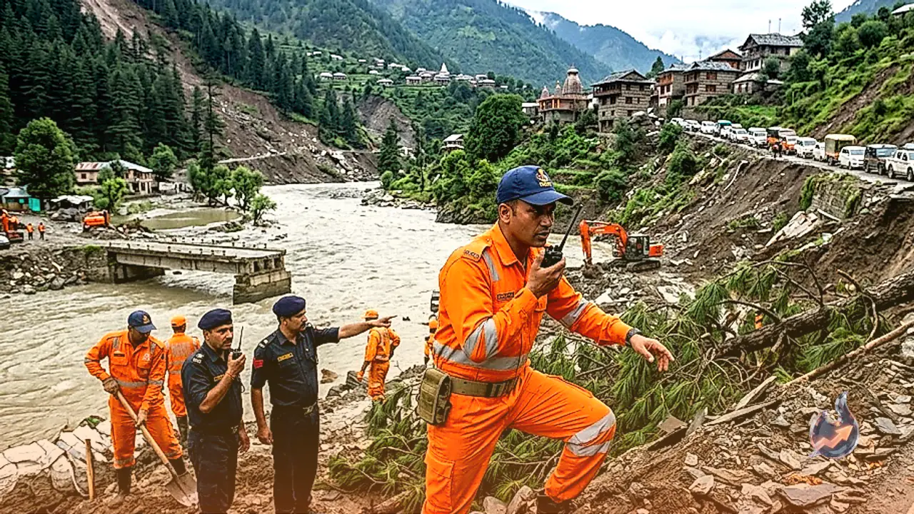
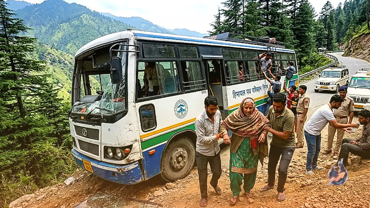
The ongoing monsoon season has already caused severe devastation in the region. Rain-related incidents in the state have claimed 247 lives and resulted in property and infrastructure damage worth 1,183 crore rupees. Additionally, a young engineer from Himachal Pradesh working at a hydro project in Nepal was reported missing following catastrophic flooding in Nepal.
Weather Department Issues Visibility and Flood Advisory
In light of the weather forecast from August 30 to September 3, the Meteorological Department has issued a cautionary advisory for residents and travelers. Continuous rainfall over four consecutive days is expected to cause thick fog and cloud cover, significantly reducing visibility in districts like Shimla, Solan, Sirmaur, and other high-rainfall zones.
Furthermore, water levels in major rivers, local rivulets, and water bodies are expected to rise rapidly. Authorities have advised people to stay clear of riverbanks, avoid unnecessary travel through landslide-prone corridors, and exercise extreme caution while navigating mountain roads during the active monsoon spell.