

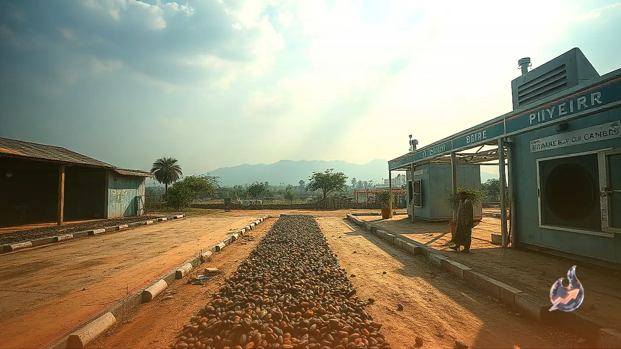


















A colossal hydropower development taking shape along the upper reaches of the Yarlung Tsangpo in Tibet has reignited deep strategic, ecological, and riparian anxieties across the eastern Himalayas. Strategic affairs specialist Brahma Chellaney has brought sharp focus to the underlying geological vulnerabilities of the site, arguing that India must re-evaluate its traditional diplomatic restraint and place the scientific findings published by Chinese geologists directly before the global scientific and environmental community. When a dam of unprecedented proportions is positioned directly above active crustal fractures, riparian developments cease to be an internal infrastructure project and become an urgent matter of international safety and transboundary river governance.
Raising the issue on social media, Brahma Chellaney questioned how Beijing would have reacted had India undertaken a project of such staggering magnitude directly abutting the border. In his assessment, China would have mobilized an intense global campaign highlighting seismic hazards, biodiversity loss, and scientific risks. By contrast, despite state-affiliated researchers in China documenting alarming tectonic fault lines beneath the reservoir site, India has largely refrained from leveraging these peer-reviewed warnings on international stages, an approach Chellaney argues must urgently change.
A 60,000 Megawatt Giant Dwarfing the Three Gorges Dam
Situated in the remote Medog County of Tibet, the hydropower venture harnesses the torrential force of the Yarlung Tsangpo where it executes a dramatic hairpin turn around the towering Namcha Barwa peak. Upon crossing the frontier into India, this same torrent enters Arunachal Pradesh as the Siang before widening across the plains of Assam to form the Brahmaputra. The proposed generation capacity of the Medog project stands at roughly 60,000 megawatts, a scale that substantially eclipses the output of the iconic Three Gorges Dam in central China.
Construction activities commenced in 2025, elevating the project from a theoretical blueprint into a tangible geopolitical reality. The extraordinary physical dimensions of the structure, combined with its immediate proximity to the Indian frontier, mean that its consequences extend far beyond renewable electricity generation. Instead, the initiative touches the core of transboundary water rights, sedimentary ecology, and regional military equilibrium, giving upstream planners unmatched leverage over downstream river dynamics.
The Underlying Danger of the Active Paizhen Fault
Central to Brahma Chellaney's analysis is the revelation that the foundation of the Medog complex rests upon a highly volatile tectonic environment known as the active Paizhen fault. Studies conducted by specialists affiliated with state geological survey institutes in China established that the bedrock throughout the project zone is heavily fractured, structurally fragile, and continuously destabilized by tectonic stresses. Researchers documented that continuous seismic activity and ongoing fault movements significantly heighten the danger of extensive landslides and rockfalls surrounding the projected reservoir basin.
To illustrate the inherent volatility of the corridor, analysts pointed to the magnitude 6.9 earthquake that rocked the Nyingchi prefecture of Tibet in 2017, an event directly linked to the activation of this identical fault network. While these scientific assessments do not automatically foretell an unavoidable structural collapse, they unequivocally highlight severe geological hazards. They establish that constructing an ultra-massive barrier within an active fracture zone requires extreme engineering precautions and transparent safety overhauls that an insular development process rarely guarantees.
Controlling the Lean Season Flow and Trapping Crucial Silt
Beyond structural catastrophe, the primary peacetime concern for lower riparian nations is Beijing's ability to manipulate the natural rhythm of the Brahmaputra. Millions of farmers, riverine communities, and urban centers across Arunachal Pradesh, Assam, and further downstream in Bangladesh rely entirely upon the river for drinking water, agricultural irrigation, and fisheries. During the dry winter months outside the monsoon season, snowmelt, melting glaciers, and alpine runoff from the Tibetan plateau provide a vital baseline volume to sustain the riverbed.
Brahma Chellaney emphasized that impounding such immense volumes of water will inevitably trap vast quantities of natural sediment, minerals, and fertile silt behind the concrete barrier. Cut off from its upstream nourishment, the lower river will suffer accelerated bank erosion, degradation of seasonal floodplains, and profound imbalances across delicate wetland ecosystems. Deprived of historical silt replenishment, downstream agricultural deltas face long-term nutrient starvation and ecological decay.
Downstream Perils and Transboundary Disaster Preparedness
Because the eastern Himalayan belt represents one of the planet's most seismically vulnerable mountain systems, any structural distress caused by severe earthquakes, rock avalanches, or glacial outburst floods could have immediate catastrophic consequences downstream. Projections regarding the exact scale of destruction in the hypothetical event of a breach vary, yet the fundamental physical reality remains unalterable: the river flows downward into India. Any sudden, uncontrolled release of stored water would funnel directly through narrow gorges into populated valleys.
This geographic vulnerability underscores the critical necessity for robust early-warning networks, real-time hydrological data exchanges, and transparent disaster management protocols. Because the Brahmaputra subsequently traverses international borders into Bangladesh before discharging into the Bay of Bengal, the humanitarian and economic toll of any upstream failure would reverberate across multiple sovereign jurisdictions, creating a regional humanitarian emergency.
Lessons from the 1975 Banqiao Catastrophe
To underscore the perils of ignoring environmental warnings during major engineering endeavors, Chellaney recalled historic structural disasters within China, most notably the 1975 collapse of the Banqiao dam. In that instance, torrential rainfall overwhelmed the barrier, leading to a catastrophic domino effect of dam failures and immense loss of human life across downstream settlements. Historically, prioritization of production milestones over empirical caution has yielded disastrous outcomes.
Citing past episodes where engineering authorities disregarded cautionary reports by independent hydrologists, the argument stresses that an undertaking of Medog's scale requires independent international inspection, multilateral oversight, and complete data openness. When Chinese scientists themselves document unstable rock strata and fault rupture hazards, shielding such construction from international scrutiny undermines the safety of everyone residing in the watershed.
Moving Beyond Quiet Diplomacy Toward Countermeasures
Historically, New Delhi has addressed Tibetan water infrastructure through discreet bilateral dialogues and diplomatic démarches. However, Chellaney contends that quiet diplomacy has proven insufficient to deter unilateral upstream development. The moment has arrived for India to elevate the peer-reviewed conclusions of Chinese geologists to prominent global forums, including the United Nations, international environmental conventions, and global tectonic research bodies, thereby holding upstream builders accountable to global safety standards.
Concurrently, strategic planners in India have accelerated considerations around the proposed Upper Siang multipurpose project in Arunachal Pradesh. Conceived partly as a strategic counter-measure, this massive domestic reservoir aims to absorb sudden surges of water released from upstream, mitigate potential dry-season water withholding, and firmly establish prior appropriation rights under international riparian principles. As competing infrastructure projects advance along the rugged Himalayan corridor, the Brahmaputra basin increasingly emerges as a defining frontier of water diplomacy and strategic resilience.