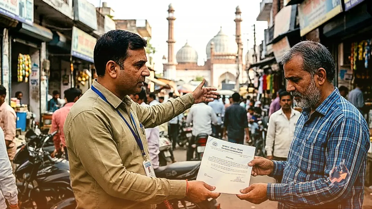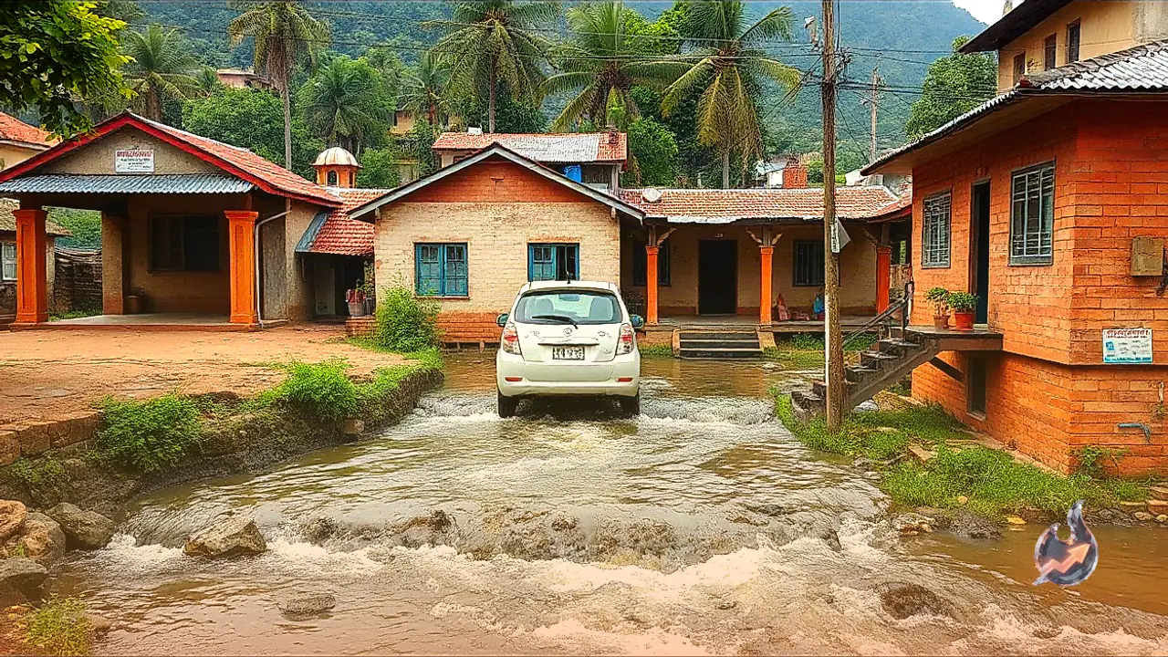

















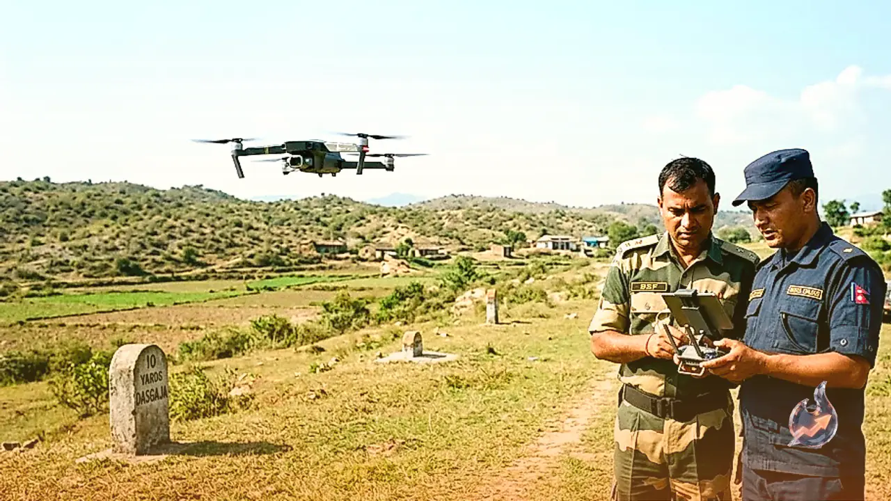

India and Nepal have initiated a joint technical effort to address long-standing land encroachment issues across their shared 1,880 km open international frontier. Under a bilateral border management agreement, both nations will deploy drone technology to conduct precision aerial mapping of the 'Dasgaja' area. Dasgaja refers to a dedicated 10-yard wide strip of land maintained on both sides of the international border line, serving as a no-man's-land where permanent structures, agricultural cultivation, and physical occupation are strictly prohibited. However, due to the open nature of the border, local residents from both sides have historically engaged in farming and construction activity that spills over into this restricted buffer zone. The newly sanctioned drone survey will not only capture high-resolution digital imagery of the Dasgaja strip, but will also map specific areas where citizens of one country are residing on or cultivating land belonging to the other.
Drone Protocol and Formulation of Joint Technical Records
The decision to employ aerial drone surveys was finalized during high-level meetings between boundary and survey officials from both nations. The initial framework for drone mapping was agreed upon during the 13th meeting of the Joint Committee of Survey Officials held in Lucknow. Subsequently, the 14th Meeting of the Nepal-India Joint Working Group (JWG) on Border Management convened on August 20–21, 2026, in Dehradun, India, to take the process forward. The Nepali delegation at this session was led by Ananda Kafle, Joint Secretary in the Ministry of Home Affairs of Nepal. Discussions took place in a cordial atmosphere, addressing multiple operational aspects of border security and management.
According to survey officials, the data gathered via drone mapping will be utilized to formulate a joint technical record of all affected boundary sectors. This digital repository will serve as an authoritative factual basis for future bilateral discussions. Having precise technical mapping will enable negotiators to decide on structured mechanisms for clearing illegal encroachments, restoring land to its rightful jurisdiction, or establishing appropriate compensation frameworks where required. Border experts emphasize that replacing manual guesswork with aerial mapping could prove pivotal in resolving small-scale, localized land disputes that have persisted for decades.
Parliamentary Context and Clarifications on Balen Shah's Statement
The adoption of drone mapping comes shortly after border land usage re-entered political discussions in Nepal following statements made by Prime Minister Balen Shah. During a parliamentary session in May, Balen Shah responded to queries regarding disputed border zones, specifically Limpiyadhura, Lipulekh, and Kalapani, which Nepal claims and India maintains as part of its sovereign territory. In his response, Balen Shah noted that citizens of Nepal had also encroached upon Indian territory.
The statement generated political debate within Nepal, prompting opposition lawmakers to seek further clarification. Nepal's Ministry of Foreign Affairs subsequently issued a statement explaining that the Prime Minister's remarks did not refer to the core territorial disputes of Limpiyadhura, Lipulekh, and Kalapani, but rather concerned cross-border land utilization and encroachments along the Dasgaja strip. The official clarification, combined with the new joint drone survey protocol, has provided a practical and technical path forward to address the issue transparently.
Cross-Border Land Occupancy Dynamics and Field Survey Findings
Underlining the necessity of aerial mapping, Dayanand Joshi, spokesperson for the Survey Department of Nepal, confirmed that drone operations will systematically record all encroachments within the Dasgaja belt and detail cross-border land usage. The initiative is being viewed as a concrete step toward improving border governance.
Border authority and former Director General of Nepal's Survey Department, Buddhi Narayan Shrestha, described these localized border overlaps as 'cross-border land grabbing'. He noted that the open border framework often leads neighboring farmers to inadvertently or intentionally extend agricultural activities across the line. In some locations, Indian farmers cultivate land within Nepal's territory, while in other places, Nepali farmers occupy land within Indian boundaries.
Data from a field study conducted by Buddhi Narayan Shrestha in 2005 highlights the extent of these overlaps. His 2005 study identified 84 specific locations where Indian farmers were utilizing land within Nepal, and 27 locations where Nepali farmers were occupying land within India. These findings confirm that cross-border land usage is a mutual issue that requires objective technical verification rather than unilateral assertions.
Missing Boundary Pillars and Resolving Frontier Friction
Several structural factors contribute to boundary friction along the 1,880 km open frontier. Analysts note that missing or damaged demarcation pillars, along with historic survey discrepancies, remain primary causes of local land confusion. Official cartographic records list a total of 8,553 boundary pillars along the international border. However, approximately 42 percent of these 8,553 pillars have either not been erected on the ground or have been lost over time.
The absence of roughly four out of every ten pillars, combined with the unfenced nature of the 1,880 km border, makes it difficult for local farming communities to identify exact boundary lines. As a result, field boundaries frequently blur over time. By providing verified aerial documentation, the joint drone survey will offer both governments an indisputable map of ground realities. Once technical teams compile this shared record, high-level diplomatic channels will have the empirical foundation needed to settle decades-old border land disputes through eviction, land restoration, or mutually agreed compensation.