




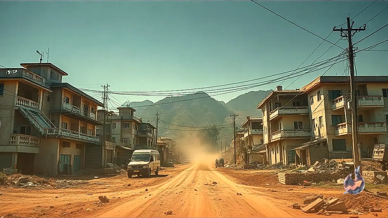















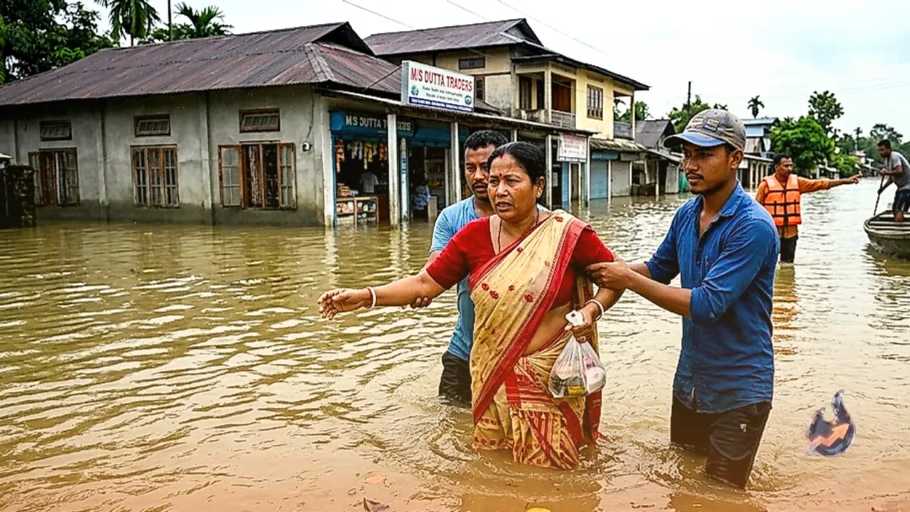

Assam experiences heavy seasonal downpours, the mighty Brahmaputra river, and its tributaries causing floods every year, but this time the deluge engulfed regions that had previously remained untouched by such severe conditions. The districts of Sivasagar, Charaideo, and Jorhat, traditionally considered safe zones, witnessed severe waterlogging and inundation that caught residents and authorities off guard. Hundreds of villages across these three districts went underwater, thousands of people had to be shifted to safety, and farming, roads, and public property suffered massive destruction. The most pressing question is why districts that historically never experienced serious flooding faced such devastation this time. Experts point to a combination of natural and human-induced factors behind the disaster.
Why These Districts Were Considered Safe
Situated at a slightly higher elevation in upper Assam, these districts historically escaped the massive Brahmaputra floodplains that repeatedly batter lower districts like Dhubri, Barpeta, or Morigaon. The tributaries flowing through Sivasagar, Charaideo, and Jorhat, including the Dikhow, Desang, and Jhanji rivers, are relatively narrow. Flash floods in the past were short-lived, receding within hours rather than stagnating for weeks. Although these districts experienced localized waterlogging or minor agricultural flooding during heavy monsoons, they rarely witnessed the widespread embankment breaches and mass displacement common in lower Assam.
Cloudbursts in Neighboring Hills and Severe Landslides
The immediate catalyst was the extraordinary rainfall recorded in neighboring Nagaland between July 18 and July 20, 2026. While Nagaland overall received 181 percent more rainfall, the upland Mokokchung district registered a staggering 493 percent excess, and Mon district received over a third of its total July average rain in just eight hours. Concurrently, Assam's Charaideo district recorded 436 percent excess rainfall, creating a severe hydraulic head that transformed the terrain into a high-velocity water conduit. Steep-gradient tributaries originating in Nagaland flow directly into the flat floodplains of Sivasagar, Charaideo, and Jorhat. With the hills already saturated from weeks of monsoon rains, slopes collapsed, triggering massive upstream landslides that washed down heavy debris, silt, and rushing water. Upon hitting the flat plains of Assam, the gradient flattened drastically, slowing the flow and instantly creating massive water stagnation.
Brahmaputra Backflow and Embankment Failures
Widespread continuous monsoon rains had already pushed the main Brahmaputra river dangerously close to or above the danger mark. With the Brahmaputra running exceedingly high, it failed to discharge water from its tributaries like the Dikhow and Desang, creating a backflow effect that pushed water back into the upper Assam plains. Highlighting the humanitarian response, celebrities like Bhumi Pednekar and Papon appealed for assistance for the state. Meanwhile, flood management in Assam relies heavily on a single-minded strategy of constructing earthen embankments. The Brahmaputra and its tributaries naturally deposit heavy silt loads, elevating riverbeds over time and forcing channels to shift. These static embankments failed to withstand shifting pressures, and multiple breaches, such as the failure of the Dorika river embankment, submerged entire settlements and vital economic zones like the Nazira tea gardens.
Infrastructure Expansion and Loss of Wetlands
Unplanned infrastructure development, housing expansions, and road construction across the region have systematically destroyed vital wetlands and lowland water reservoirs that historically acted as natural sponges absorbing excess floodwaters. Additionally, extensive legal and illegal mining along the foothills has stripped riverbeds of stable rock formations. Emphasizing ongoing relief efforts, Himanta Biswa Sarma wrote on X that over 211 metric tons of rice along with drinking water, tarpaulins, and other essentials have reached affected families across the state.