



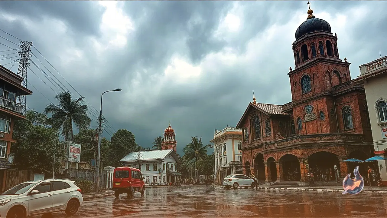

















Monsoon has returned in a vigorous overdrive mode, drastically shifting weather patterns across numerous parts of the country on September 5, coinciding with Teachers' Day. Those planning to head out or embark on journeys should exercise caution and avoid taking weather department warnings lightly. Torrential rainfall, severe thunderstorms, and lightning are expected to batter multiple states. Due to the severe threat of excessive rainfall and landslides, red alerts have been issued for Dehradun, Shimla, and Muzaffarpur, while orange alerts have been declared in Patna and Mumbai in anticipation of waterlogging and stormy conditions.
Active Weather Systems and High-Speed Winds
According to meteorologists, India's weather is currently in an aggressive phase driven by the activation of multiple cyclonic circulations and low-pressure areas. Squally winds reaching speeds of 60 to 70 kilometers per hour are anticipated during this period. Severe landslide warnings have been issued for hilly terrain, while heavy downpours pose major risks of overflowing rivers and waterlogging in low-lying plains. Stepping outside without checking regional weather updates can prove to be a significant risk. Let us examine the weather outlook for your city and state on September 5.
Delhi and NCR Rain Forecast
Weather conditions remain volatile in the national capital and surrounding areas. A yellow or orange alert has been issued for heavy downpours accompanied by strong gusty winds during the afternoon and evening of September 5, with wind speeds expected to touch 30 to 40 kilometers per hour. In terms of temperatures, Delhi is expected to record a maximum of 33°C and a minimum of 26°C, with identical readings in New Delhi. Meanwhile, Noida will see a maximum of 34°C and a minimum of 27°C, while Gurugram anticipates a maximum of 33°C and a minimum of 25°C.
Conditions in Uttar Pradesh and Bihar
Several districts across western and eastern Uttar Pradesh will witness heavy downpours accompanied by loud thunder and gusty winds, with wind speeds potentially touching 60 kilometers per hour. Lucknow will record a maximum of 32°C and a minimum of 25°C, Kanpur a maximum of 32°C and a minimum of 26°C, and Varanasi a maximum of 31°C and a minimum of 25°C. Conversely, northern and eastern districts of Bihar face a severe threat of thunderstorms and torrential rains, with winds blowing at 50 to 60 kilometers per hour. Patna expects a maximum of 31°C and a minimum of 26°C, Gaya a maximum of 30°C and a minimum of 25°C, Muzaffarpur a maximum of 30°C and a minimum of 26°C, and Bhagalpur a maximum of 31°C and a minimum of 26°C.
Weather Scenario in Maharashtra and Madhya Pradesh
The Konkan region and Mumbai are under a heavy rainfall alert, with coastal areas bracing for strong winds and high tidal waves. Mumbai anticipates a maximum of 30°C and a minimum of 25°C, Pune a maximum of 28°C and a minimum of 22°C, Nagpur a maximum of 29°C and a minimum of 24°C, and Nashik a maximum of 27°C and a minimum of 22°C. Multiple divisions of Madhya Pradesh are very likely to experience continuous rainfall alongside squally winds of 55 to 65 kilometers per hour, potentially triggering waterlogging in low-lying areas. Bhopal will see a maximum of 28°C and a minimum of 23°C, Indore a maximum of 27°C and a minimum of 22°C, Gwalior a maximum of 32°C and a minimum of 25°C, and Jabalpur a maximum of 29°C and a minimum of 24°C.
Hilly States: Uttarakhand and Himachal Pradesh
An orange alert has been issued for mountainous routes in Uttarakhand regarding landslides and cloudburst scenarios, with strict advisories issued to stay away from water bodies and streams. Dehradun expects a maximum of 27°C and a minimum of 22°C, Haridwar a maximum of 30°C and a minimum of 24°C, Nainital a maximum of 20°C and a minimum of 16°C, and Rishikesh a maximum of 28°C and a minimum of 23°C. In Himachal Pradesh, heavy rains have triggered warnings of landslides and road blockages, compounded by disruptive winds. Shimla anticipates a maximum of 22°C and a minimum of 16°C, Manali a maximum of 17°C and a minimum of 10°C, Dharamshala a maximum of 24°C and a minimum of 18°C, and Mandi a maximum of 26°C and a minimum of 20°C.
Rajasthan and Jharkhand Weather Outlook
Eastern parts of Rajasthan will continue to experience wet spells, with wind speeds potentially exceeding 50 kilometers per hour. Jaipur is forecasted to reach a maximum of 32°C and a minimum of 25°C, Jodhpur a maximum of 34°C and a minimum of 26°C, Udaipur a maximum of 29°C and a minimum of 23°C, and Kota a maximum of 31°C and a minimum of 25°C. Jharkhand faces thunder and lightning hazards across multiple districts, which may disrupt daily life. Ranchi will record a maximum of 26°C and a minimum of 22°C, Jamshedpur a maximum of 32°C and a minimum of 25°C (Wait, source states Jamshedpur 29/25), Jamshedpur a maximum of 29°C and a minimum of 25°C, Dhanbad a maximum of 28°C and a minimum of 24°C, and Bokaro a maximum of 28°C and a minimum of 24°C.