
























The withdrawal phase of the southwest monsoon is progressing rapidly across northwestern India, but an unexpected atmospheric shift is poised to interrupt the drying trend in Rajasthan. Influenced by an active western disturbance moving across the middle and upper troposphere along with an associated cyclonic circulation over northwestern Uttar Pradesh, several regional divisions are scheduled to witness convective cloud development, lightning, and brisk winds clocking speeds between 40 and 50 kilometers per hour on September 29.
Over the preceding 24 hours, scattered pockets in the desert state recorded light to moderate precipitation, while intense solar radiation kept conditions relatively hot across the far western belt. Phalodi emerged as the hottest location in the state, recording a peak daytime temperature of 39.4 degrees Celsius. Nevertheless, incoming wind patterns and mid-level atmospheric troughs are expected to provide temporary relief from the unseasonal warmth across eastern and northeastern zones.
Monsoon Withdrawal Line and Regional Systems
Official meteorological mapping indicates that the demarcation line of the monsoon retreat has now advanced through Udaipur in southern Rajasthan. At the national scale, this boundary currently traces a path across Gurdaspur, Chandigarh, Muzaffarnagar, Aligarh, Dholpur, Udaipur, Deesa, and Naliya. The southward progression of this line typically signals the end of sustained rainfall, leaving only localized convective phenomena behind.
Despite the broader retreat, an upper air cyclonic circulation persists at an elevation of 0.9 kilometers above sea level over northwestern Uttar Pradesh and adjoining zones. In tandem with the westerly trough traversing the troposphere, this setup is set to destabilize conditions over the Jaipur, Ajmer, and Bharatpur divisions on September 29, triggering brief spells of light to moderate rainfall, electrical activity, and strong wind squalls. Portions of the Shekhawati tract and isolated locations within the Bikaner division are also expected to see convective bursts and gusty winds.
Division-Wise Forecast and Official Warnings
In the southern district of Udaipur, skies are forecast to remain partly to generally cloudy with chances of isolated light precipitation; however, authorities have not issued any adverse weather alerts for the district. The Kota division in the Hadoti belt may similarly observe brief showers in a few localities without any active warnings in place.
Moving towards eastern borders, the Bharatpur area is slated to receive passing showers or light drizzle, with no severe alerts active. The state capital district of Jaipur carries no major rainfall warnings, though scattered drizzle and gusty surface winds remain very likely during the day. In contrast, the arid western territory of Jodhpur is expected to remain largely dry, completely free of adverse rain advisories.
Mercury Fluctuations and Ensuing Dry Spell
Following the departure of monsoon currents, western parts of the state experienced a sharp spike in mercury levels in recent days, with temperatures climbing 4 to 5 degrees Celsius above normal thresholds and surpassing the 40-degree mark at several monitoring stations. That warming trend is now reversing as temperatures begin a downward trajectory. In Jaipur, daytime highs on September 29 are projected around 33 degrees Celsius, while nighttime lows should settle close to 22 degrees Celsius.
Meteorologists expect precipitation to cease across western Rajasthan starting September 29 itself, followed by a parallel dry-out across eastern districts from September 30 onwards. From that juncture, predominantly dry continental air will dominate the landscape. While isolated micro-level wind fluctuations cannot be completely ruled out, widespread rainfall is not anticipated in the coming week.
Agricultural Advisory for Harvesting Farmers
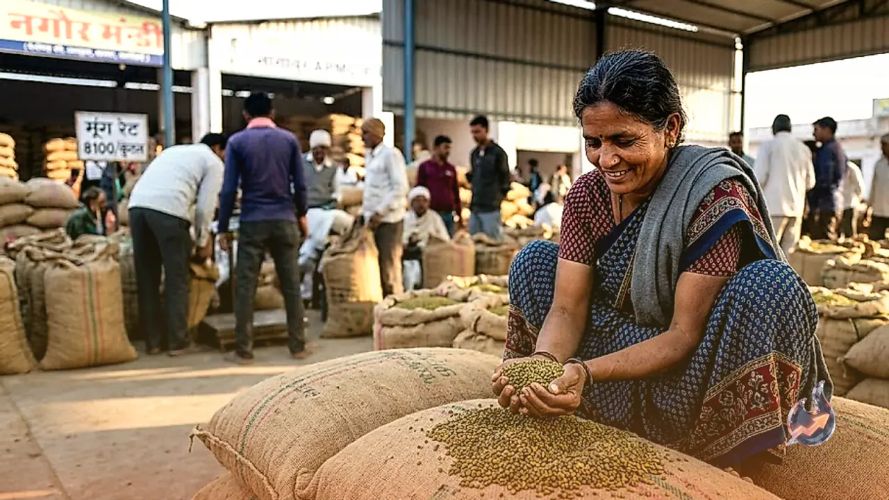
Because the Kharif harvesting season is actively underway across rural belts, high-velocity surface winds ranging from 40 to 50 kmph combined with sudden rain squalls present a direct threat to harvested produce drying in open fields. Agricultural authorities have advised farmers in vulnerable pockets to exercise vigilance.
Growers have been instructed to securely bundle harvested stalks, move threshing piles indoors, and tightly cover open heaps of grain and fodder with waterproof tarpaulins. Taking timely preventive measures will mitigate the risk of lodging, water damage, or grain dispersion caused by rapid wind gusts before the completely dry weather regime settles over the state.