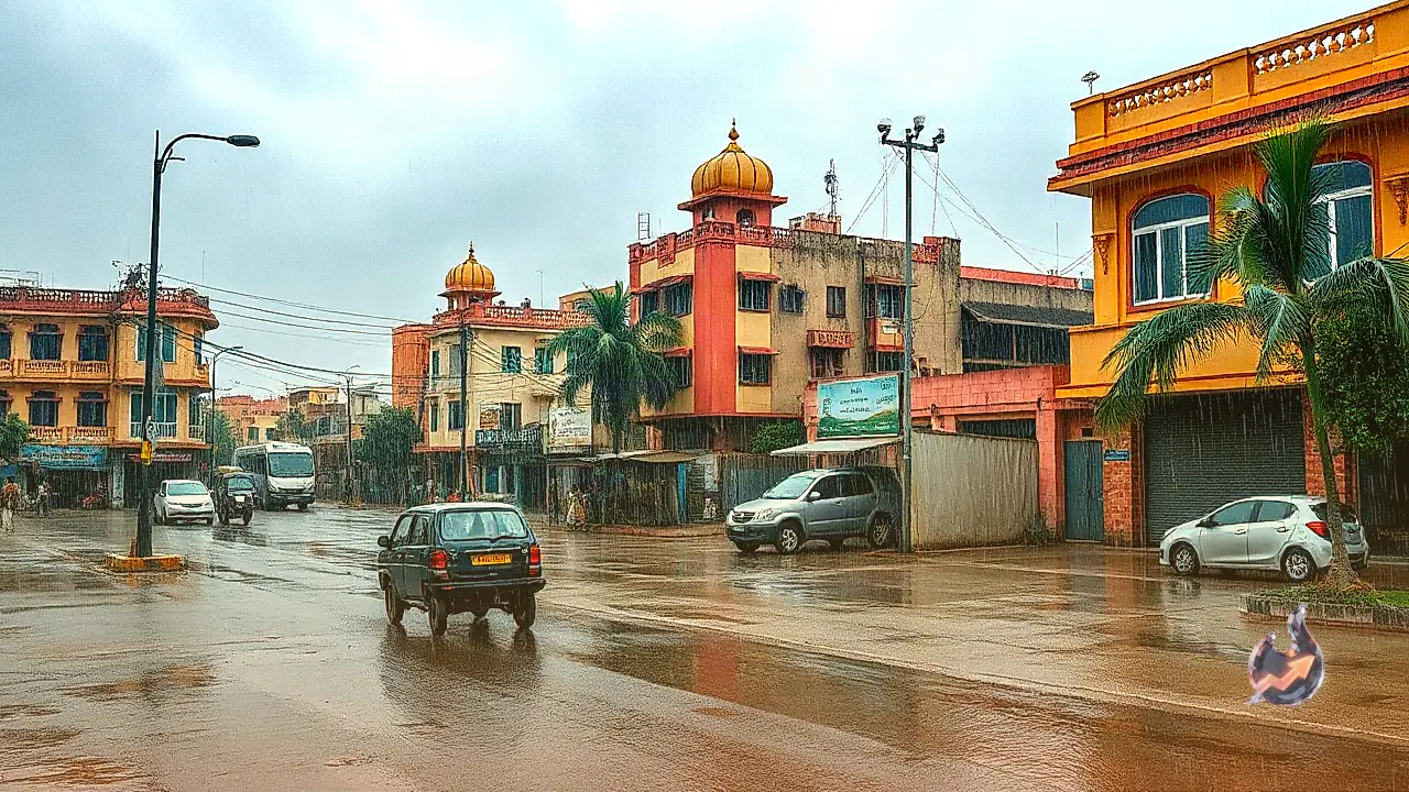






















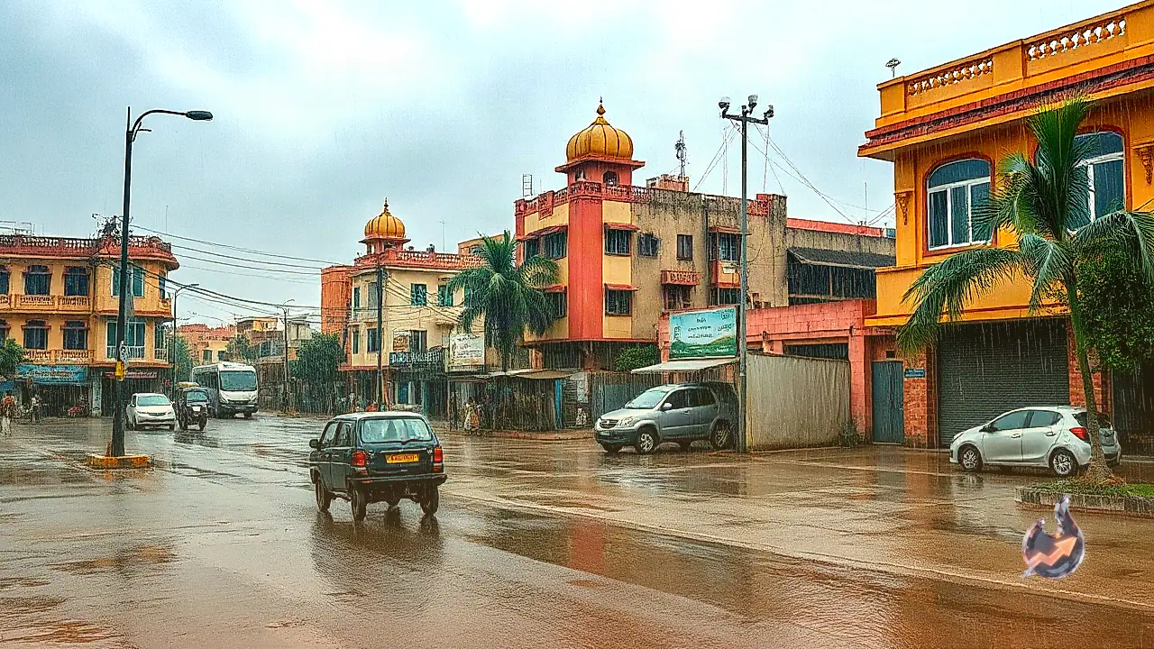

Just as the monsoon prepares for its seasonal departure, the weather across Rajasthan is set for another significant turn. According to the India Meteorological Department (IMD), fresh precipitation is anticipated across extensive parts of the state. Meteorologists have forecast light to moderate rainfall accompanied by thunderstorms between 26 September and 28 September across eastern, central, and northwestern divisions. This atmospheric shift is being driven by the combined influence of two distinct weather systems operating over northern and eastern India. Given the potential for sudden squalls and localized downpours, the IMD has issued a yellow alert for multiple districts, urging residents, travelers, and agricultural workers to remain vigilant and take necessary precautions before venturing outdoors.
Dual Impact of Eastern Low-Pressure System and Western Disturbance
Analysis from the Meteorological Centre in Jaipur indicates that the deep depression situated over eastern India is gradually losing intensity. Currently positioned as a standard depression over regions adjoining Odisha and Chhattisgarh, it is projected to weaken further within the next 24 hours into a well-marked low-pressure area (WML). As this system pushes moisture into the central landmass, its outer cloud bands will feed humidity into eastern and central Rajasthan. Simultaneously, a fresh Western Disturbance is taking shape over northwestern India. The interaction between the tropical moisture from the east and the mid-latitude disturbance from the north is expected to produce widespread cloud cover and rainfall activity across the region.
Forecast for Jaipur, Kota, and Bharatpur Divisions
Between 26 and 28 September, localized thunder activity and rainfall are expected across the Bharatpur, Jaipur, and Kota divisions, along with sections of the Shekhawati region. Specifically, Dholpur district and its surrounding tracts face a heightened alert on 26 September, where atmospheric instability could trigger lightning, localized moderate rains, and squally winds blowing at speeds of 30 to 40 km/h. Urban centers within Jaipur, Kota, and Bharatpur are likely to experience sudden cloud development during the afternoon or early evening hours, bringing brief spells of shower activity and lower evening temperatures.
Weather Shift in Western Rajasthan and Temperature Relief
In western Rajasthan, the influence of the Western Disturbance will be felt primarily on 27 and 28 September in Sri Ganganagar, Hanumangarh, Bikaner, and Churu districts. These areas are expected to record light rain or occasional drizzles. While heavy rainfall is not anticipated, the precipitation in and around Bikaner will lower daytime temperatures, bringing welcome relief from the oppressive humidity experienced in recent days. Conversely, extreme western border districts including Barmer, Jaisalmer, and Jodhpur will remain mostly dry, experiencing no major rain events during this spell.
Southern Districts Outlook and IMD Safety Advisories
In southern Rajasthan, districts such as Udaipur, Salumbar, Pratapgarh, Banswara, Dungarpur, and Sirohi will see localized convective cloud formations leading to occasional thunder and light to moderate rainfall. The meteorological center is issuing short-range warnings to help local administration manage field conditions. The IMD has explicitly advised farmers and the general public to avoid staying in open fields, standing under isolated trees, or taking shelter near electrical poles or metallic structures during lightning strikes, emphasizing the need to move indoors when thunderstorms approach.