




















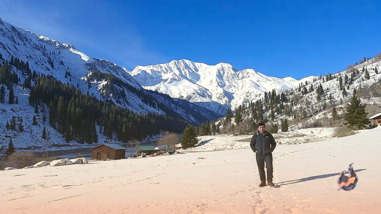

With the arrival of winter, the mountain slopes of Garhwal transform into vast stretches of white wilderness. For outdoor enthusiasts looking to spend their year-end holidays on foot amidst alpine landscapes, the Kuari Pass route in Uttarakhand stands out as a rewarding destination. Situated at an elevation exceeding several thousand feet, this trail guides adventurers through frosted woodlands, over frozen water bodies, and across sweeping high-altitude pastures. The route not only presents unobstructed perspectives of some of the highest peaks in the Indian Himalayas but also provides meaningful glimpses into traditional mountain settlement life.
Heritage and Mountain Panoramas Along the Trail
Beyond its striking geography, this path carries historic significance. During the British colonial era, Viceroy Lord Curzon traversed this mountain corridor, which is why it is frequently referred to as the Curzon Trail. Walking this historic track allows travelers to connect directly with the past while taking in pristine alpine surroundings.
Moving along trails flanked by deep snowfields, hikers are treated to dramatic panoramas of prominent Himalayan summits. The route opens up shifting perspectives of peaks including Nanda Devi, Kamet, Chaukhamba, Dronagiri, Changabang, Nilkantha, and Kunti Bhandar. As one gains elevation or rounds a ridge, the orientation of these colossal stone and ice massifs continuously changes.
The surrounding geography borders the Nanda Devi region, home to the protected Nanda Devi National Park, recognized as a UNESCO World Heritage site for its unique mountain biodiversity. Dense stands of oak and rhododendron, crisp mountain air, and untamed terrain enhance the overall atmosphere of the journey. The trail also winds past traditional settlements such as Tugasi and Upper Tugasi, giving trekkers a close view of indigenous wooden dwellings, cultural traditions, and the daily rhythms of mountain inhabitants.
Another notable landmark is Tali Lake, an alpine water body whose surface frequently solidifies into ice during the coldest weeks. The reflection of snow-dusted ridges against this frozen surface creates a memorable visual highlight. Lower down the valley, clear nocturnal skies at staging hubs like Pipalkoti offer exceptional opportunities for stargazing. Depending on trail conditions and weather windows during the descent, returning hikers may also have the option to visit Auli, widely celebrated for its extensive ski slopes and open vistas.
Key Geographic Landmarks Along the Ascent
The journey features several distinct sections, each displaying a unique ecological and geographic profile.
The Village of Tugasi
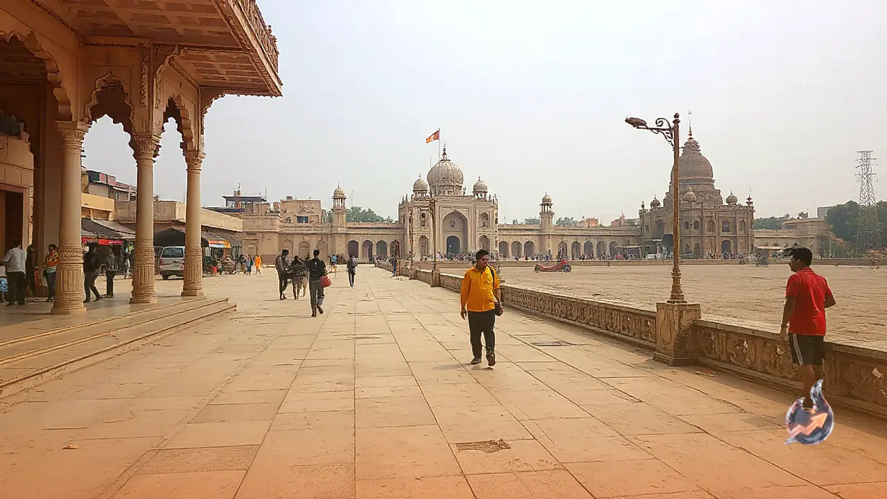
The walking portion of the expedition commences at Tugasi. From this settlement, the incline begins immediately, entering thick belts of oak woodland. In winter conditions, frost clings to the overhead branches while distant ridges loom in the background, creating an evocative forested corridor.
The Dense Woodlands of Tali
Higher up, hikers traverse the sheltered expanses of the Tali forest. Dominated by tall pine and oak trees, this section requires navigating packed snow and frozen tracks under the canopy. The silence within this dense wooded tract offers a stark, calming departure from busy lowlands.
Reaching the Kuari Pass Crest
Perched at approximately 3,900 meters (around 12,750 feet) above sea level, the summit ridge of Kuari Pass represents the primary objective of the expedition. Reaching this vantage point requires hours of steady exertion up steep mountain contours. The reward at the crest is a sweeping 360-degree horizon filled with jagged Himalayan giants, marking the crowning achievement of the entire trek.
The High Meadow of Gorson Bugyal
The return route crosses Gorson Bugyal. In the vernacular of the region, a 'bugyal' denotes an expansive highland meadow. While lush and green during warmer months, winter blankets this undulating ground in deep snow. From this elevated platform, travelers enjoy uninterrupted views of the Nanda Devi massif and neighboring ridges.
Detailed Day-by-Day Expedition Itinerary
Completing this high-altitude journey requires a phased six-day plan designed to balance physical endurance with adequate acclimatization.
Day 1: Transit from Rishikesh to Pipalkoti
The expedition starts with a road drive leaving Rishikesh and following the river valleys upward into the mountains. This vehicle journey covers winding roads and takes between 9 and 10 hours before arriving at Pipalkoti. Resting at an elevation of roughly 1,350 meters (4,400 feet), Pipalkoti functions as the primary staging post. Trekkers use this halt to organize gear, review transport reservations, and prepare for the physical ascent.
Day 2: Pipalkoti to Guling Top
On the second morning, vehicles transport hikers over a 50-kilometer road stretch from Pipalkoti to the village of Tugasi. At Tugasi, the vehicle road ends and foot travel begins. Trekkers tackle a steep 3-kilometer mountain footpath winding through frosted woods to reach Guling Top. Located at 2,850 meters, this ridge serves as the first wilderness campsite for an overnight stay in tents.
Day 3: Guling Top to Tali Forest Camp
The third leg takes the group higher into the mountains, ending at Tali Forest Camp at an elevation of roughly 3,350 meters (11,100 feet). Moving through stands of pine and oak, hikers gradually gain altitude as surrounding snow peaks appear closer and clearer. The evening is spent camping in the quiet confines of the forest.
Day 4: Tali Forest to Kuari Pass and Descent
This stage represents the longest and most demanding portion of the itinerary, requiring 10 to 11 kilometers of total walking. The route passes Khulara Top at 3,650 meters (12,000 feet) before the final push to Kuari Pass at 3,900 meters (12,750 feet). After absorbing the panoramic mountain views from the pass, hikers begin their organized descent back toward the base camp.