
























Seismic activity rattled the Himalayan borderland once again on Wednesday as a moderate 5.3-magnitude earthquake struck Tibet, sending noticeable tremors across neighbouring parts of Nepal. According to data released by the European-Mediterranean Seismological Centre (EMSC), the earthquake was registered at a depth of 35 kilometres (21.75 miles). The underground shocks prompted widespread anxiety among local populations across the border region. Fortunately, initial reports indicate that there have been no immediate casualties or structural damage resulting from this latest tremor.
Second Seismic Event Within a Single Week
This latest earthquake underscores ongoing geological instability along the high-altitude frontier. Notably, this is the second time in less than a week that the region has experienced significant seismic movement. Just last Thursday, a 5.0-magnitude earthquake hit Tibet, as reported by the German Research Center for Geosciences (GFZ). That earlier quake had a shallower epicenter, recorded at a depth of just 10 kilometres (6.21 miles). Shallower earthquakes often translate into stronger surface shaking, making this sequence of mid-tier quakes a focal point of concern for geologists and disaster response teams.
Compounding the Aftermath of Deadly Himalayan Floods
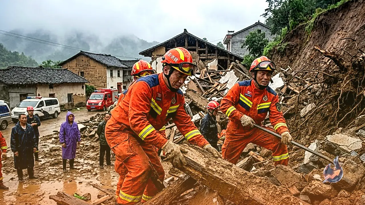
Wednesday's seismic shock comes less than two weeks after a catastrophic natural disaster devastated the same Himalayan border zone. On August 26, a massive glacier failure triggered a deadly torrent of ice, rock, mud, and water high in the mountains. The resulting avalanche surged downstream into the Bhote Koshi River, inundating civilian settlements across Nepal's Rasuwa district as well as adjacent areas in Tibet. The flash flood destroyed residential homes, crucial road networks, and key bridges, leaving communities isolated and severely disrupted.
Severe Damage to Critical Hydropower Infrastructure
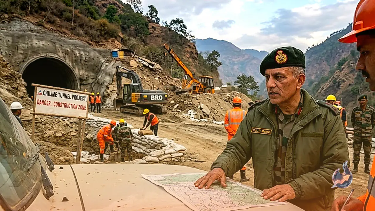
The flood disaster dealt a devastating blow to the region's energy infrastructure, damaging at least 11 major hydroelectric power projects. Torrential water and heavy debris flooded power stations and subterranean tunnels. Emergency response crews and search-and-rescue teams have been working tirelessly to search for individuals feared trapped inside affected project tunnels. The occurrence of fresh earthquake tremors adds another layer of complexity and danger to ongoing rescue and restoration efforts in the rugged terrain.
Heightened Environmental Vulnerability of the Qinghai-Tibet Plateau
The recurrence of natural disasters along the Tibet-Nepal border has intensified concerns regarding the ecological fragility of the Qinghai-Tibet Plateau. Climate experts and researchers in China have emphasized that rising global temperatures are accelerating glacier melt and retreat throughout the region. This rapid thermal movement destabilizes frozen slopes and ice masses, elevating the risks of avalanches, glacial lake outburst floods, and landslide dams. Scientists warn that broader climate shifts are putting immense pressure on the fragile Himalayan environment, necessitating closer monitoring and heightened regional preparedness.