























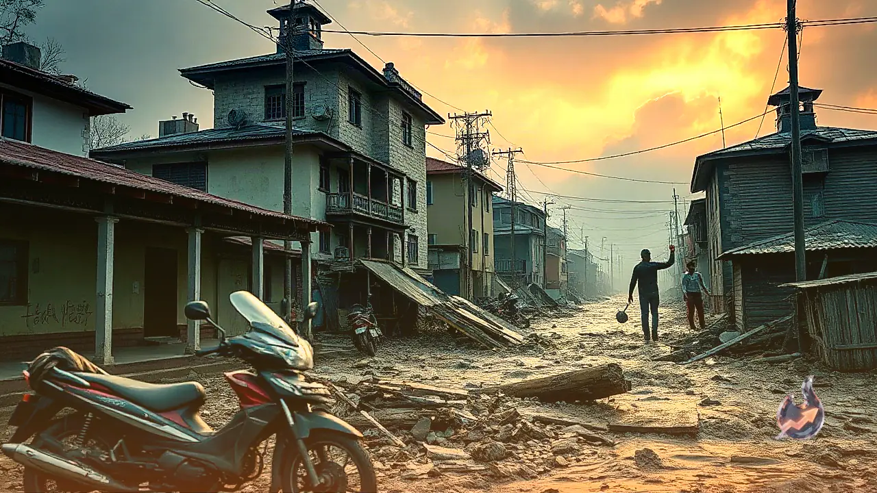

A catastrophic natural disaster has struck Nepal as devastating flash floods originating from Tibet have left a trail of immense destruction across eight districts. Official records confirm that over 350 people have tragically lost their lives, while more than 900 individuals remain missing, including 290 Indian nationals. Amidst the ongoing humanitarian crisis and frantic search operations, fresh panic spread across the region on Thursday night, 27 August 2026, when earthquake tremors shook parts of Nepal and neighboring Tibet, worsening the distress of traumatized residents.
Earthquake Tremors of 3.2 Magnitude Jolted Nepal
According to seismic data released by the National Center for Seismology, earthquake tremors were felt in parts of Nepal on Thursday night, 27 August 2026. The quake measured 3.2 on the Richter scale and occurred at precisely 9:18 PM. Its epicenter was situated at a depth of 10 kilometers beneath the surface. Although the low magnitude resulted in no immediate structural damages, the seismic activity created widespread anxiety among survivors who are already grappling with the loss of life and property caused by the overflowing rivers. Official details of the seismic event were documented in an online update on X.
Strong 4.9 Magnitude Earthquake Registered in Tibet
Prior to the tremors in Nepal, a more intense earthquake jolted neighboring Tibet earlier on Thursday evening. Data from the National Center for Seismology indicates that the quake hit at 8:15 PM with a magnitude of 4.9 on the Richter scale. Similar to the Nepal earthquake, its depth was recorded at 10 kilometers below the ground. Seismologists note that repeated tectonic shocks in this Himalayan belt highlight the fragile geological stability of the region, which has been rendered even more vulnerable due to heavy rain and flood-induced land shifts. The official seismic bulletin was released via a public notification on X.
Glacial Breakage and Artificial Dam Burst Triggered Deluge
The primary catalyst behind the sudden flood tragedy was a massive glacial collapse in the Langtang Lirung mountain range, located along the Nepal-Tibet border. At an altitude of approximately 5,200 meters on the Tibetan side, a major section of the glacier broke off and plummeted roughly 1,200 meters into the valley below. This massive avalanche of ice, rock, and mud choked the natural flow of the Lhende River, creating a high-risk temporary dam. As meltwater continuously accumulated behind the obstruction, immense water pressure built up until the impoundment catastrophically failed, sending a colossal surge of mud and debris downhill.
Sudden Surge in Trishuli River Destroys Infrastructure in Nuwakot and Rasuwa
The Lhende River, a tributary originating in Tibet, merges into the Bhote Koshi River near Rasuwagadhi and Timure along the Nepal-China border. The floodwaters carrying vast debris entered Nepal through Rasuwa district via the Bhote Koshi River, which subsequently discharges into the Trishuli River. As a result, the surge surged downstream into the Trishuli basin, causing water levels to spike by 7 to 9 meters within just 30 minutes in several locations. This sudden wall of water inundated entire settlements, causing massive destruction across Nuwakot and Rasuwa districts, cutting off critical transport links and severely complicating relief efforts.