























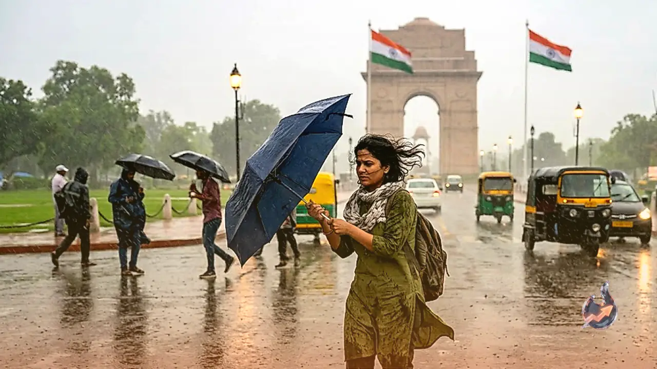

The monsoon system has made a vigorous and highly anticipated comeback across the national capital and its adjoining areas, bringing much-needed respite from the sweltering heat and oppressive humidity that had gripped the region for days. Following a refreshing and widespread spell of showers on Tuesday morning, the regional meteorological centre has officially projected continued wet and cloudy conditions for Wednesday, promising further cooling for residents across the entire metropolitan region.
Midweek Forecast Highlights
For Wednesday, weather monitoring agencies anticipate a generally overcast sky persisting throughout the entire day. Residents stepping out can expect sporadic, very light to light rain showers occurring intermittently across multiple locations. In addition to these gentle showers, certain specific areas might experience moderate rainfall spells as the day progresses. The dynamic weather pattern is projected to intensify significantly between the afternoon and evening hours. During this specific window, strong surface winds blowing at consistent speeds of 20 to 30 kilometres per hour are expected to sweep through the region, with occasional powerful gusts reaching up to 40 kilometres per hour. Thunderstorm activity and lightning strikes could accompany these gusty winds, followed by the strong possibility of heavier downpours as the night progresses. Temperature-wise, the maximum mercury level is forecast to hover comfortably between 31 and 33 degrees Celsius, while the nighttime minimum should settle between 24 and 26 degrees Celsius, providing a noticeably cool night.
Impact on Surrounding NCR Cities
The anticipated climatic shift is not restricted merely to the boundaries of New Delhi. The surrounding satellite cities functioning within the broader National Capital Region are poised to experience identical weather patterns. Commuters and local residents in Noida, Ghaziabad, Gurugram, and Faridabad should adequately prepare for similar heavy cloud cover, intermittent rain showers, and gusty surface winds. The widespread and uniform nature of this active monsoon phase ensures that the entire urban agglomeration benefits from the notable drop in temperatures and the overall improvement in environmental conditions.
Extended Outlook for Thursday and Friday
The cooling trend established early in the week is slated to persist as the week advances towards the weekend. On Thursday, the atmospheric canopy will remain predominantly cloudy over the capital. Meteorologists confidently predict isolated occurrences of very light to light precipitation starting from the morning hours and stretching into the afternoon. As evening transitions into night, scattered light showers might once again return to specific pockets of the city. The temperature gauge for Thursday will likely record a maximum ranging from 32 to 34 degrees Celsius, with the minimum dropping significantly to between 23 and 25 degrees Celsius. Notably, the weather department highlighted that this minimum temperature is expected to remain substantially lower than the standard seasonal average across most regional monitoring stations. Looking ahead to Friday, the skies over the capital territory will continue to be heavily blanketed by clouds. The morning and afternoon hours hold a strong possibility of very light to light drizzle. The temperature profile for Friday is anticipated to closely mirror Thursday's highs of 32 to 34 degrees Celsius, with the lows slightly nudging upwards to rest between 24 and 26 degrees Celsius.
A Look Back at Tuesday's Showers
The current pleasant meteorological stretch was initially triggered by intense and sudden early morning rainfall on Tuesday, which effectively washed away the lingering, highly sultry conditions previously dominating Delhi. While the core city zones received substantial and heavy precipitation, neighbouring districts such as Noida and various other parts of the NCR primarily witnessed persistent overcast conditions for the remainder of the day. Although heavy torrential downpours completely eluded these specific suburbs, localized light showers were indeed recorded in scattered places, contributing significantly to the overall regional cooldown and providing immense relief to the general public.