






















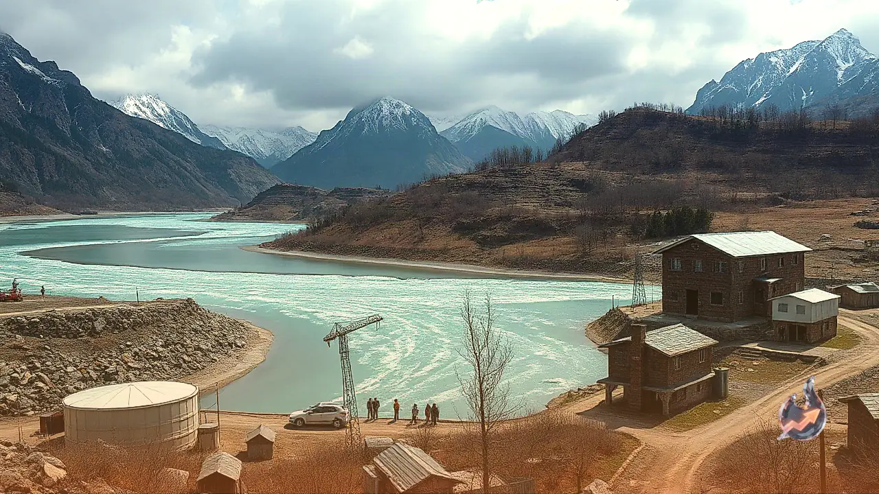

Global warming is taking a heavy toll on the fragile Himalayan ecosystem, causing alarming shifts in the topography and environmental stability of Himachal Pradesh. Mountain glaciers across the region are retreating at an accelerated pace, leading to the formation of numerous high-altitude water bodies. A joint scientific study conducted by IIT Ropar and the University of Technology Sydney warns that if glacial retreat continues at this speed, it poses disastrous flood risks to human settlements, power networks, and downstream infrastructure, particularly along the Sutlej and Beas river basins.
A 525 Percent Surge in Glacial Lakes
Utilizing multi-temporal satellite data and spatial modeling, the researchers evaluated glacial dynamics between 1990 and 2024. The empirical findings highlight a dramatic expansion in both the number and cumulative surface area of glacial lakes across Himachal Pradesh over the 34-year period
- Total Lake Count: The number of glacial lakes expanded from 107 in 1990 to 669 in 2024, marking an explosive 525 percent increase.
- Surface Area Expansion: The cumulative area occupied by these water bodies doubled, growing from 5.54 square kilometers to 11.20 square kilometers, which equals a 102 percent area surge.
- Micro-Lakes Proliferation: Extremely small lakes with a surface area of 0.01 square kilometers or less grew exponentially, jumping from just 9 to 487.
- High-Risk Impoundments: Among 94 lakes measuring larger than 0.02 square kilometers, an overwhelming 88 have been categorized as highly vulnerable to Glacial Lake Outburst Floods (GLOFs).
Critical Power Infrastructure Threatened in Beas and Sutlej Basins
The flood hydrograph modeling generated during the study outlines catastrophic downstream impact scenarios. Over 680 structures, alongside vital regional hydroelectric projects, are directly exposed to potential outburst floods.
In the Beas river basin, 94 structures are classified under extreme vulnerability zones. Key installations threatened in this zone include the strategic Pandoh dam and portions of the Uhl-III hydropower station. The situation is even more critical in the Sutlej river basin, where at least 588 structures are located within potential flood inundation pathways. Major energy assets including the Koldam project and the Rampur hydropower station lie directly in the path of potential GLOF trajectories, posing severe risks to the regional power supply grid.
Primary Triggers Behind Glacial Outburst Floods
Glacial Lake Outburst Floods represent sudden, high-magnitude discharge events. Researchers identified several compounding natural and meteorological factors that drive these bursts
- Unstable Moraine Dams: Unlike man-made reservoirs, glacial lakes are held back by loose accumulations of rock, gravel, and ice called moraines. These natural dams lack structural integrity and easily collapse under hydraulic pressure.
- High Seismic Activity: The active tectonic landscape of the Himalayas leaves these delicate moraine impoundments susceptible to breach following minor or severe earthquakes.
- Cascading Avalanches and Landslides: Massive ice falls, rockfalls, or landslides dropping into a lake generate displacement waves that breach the natural dam perimeter.
- Extreme Weather and Cloudbursts: Intense cloudburst events and erratic monsoon downpours rapidly overfill lake capacities, causing immediate overtopping and structural failure.
Climatic Shifts and Geomorphological Factors
The study attributes this rapid transformation to a combination of changing climatic indicators and localized geological characteristics. Ambient regional temperatures are steadily rising, causing glaciers to retreat while subterranean permafrost thaws. Shifted weather patterns have replaced traditional winter snowfall with rain, leaving ice surfaces exposed to direct solar heat during summer months.
Furthermore, debris cover plays a complex role. Dark rocks and sediment lying on glacial surfaces absorb elevated levels of solar radiation, hastening ice melting beneath the debris blanket. As glaciers recede, deep bedrock depressions bounded by loose moraine ridges trap meltwater, constantly forming new, highly unstable water bodies on steep, landslide-prone mountain slopes.
Urgent Calls for Early Warning Systems and Protocol Updates
To mitigate potential loss of life and property, researchers urge state authorities to immediately incorporate GLOF hazard profiles into all existing dam safety protocols. The study strongly recommends installing automated early warning sensors at least 25 kilometers upstream of the Pandoh dam and 100 kilometers upstream of the Bhakra Nangal dam. Placing real-time sensors at these critical upstream points would provide downstream communities and power station operators precious lead time during an emergency outburst event.