
















India Backs UN's New World Map Push, But Draws a Hard Line on Kashmir and LadakhJammu & Kashmir
6 Sept 2026, 2:15 pm (27 min ago)· 2

India Backs UN's New World Map Push, But Draws a Hard Line on Kashmir and Ladakh

India backed a UN push for more accurate world maps, but its foreign ministry warned that any misrepresentation of Jammu and Kashmir or Ladakh will not be accepted.

India backed a United Nations General Assembly proposal aimed at making world maps more accurate, but paired that support with a firm warning of its own: any attempt to misrepresent Jammu and Kashmir or Ladakh on a global map will not be tolerated.

What the UN proposal actually asks for

The resolution pushes for equal area map projections, essentially a scientific method for drawing world maps more precisely. India voted in favour of it, but made clear its support stops at the underlying cartographic principle. New Delhi stated plainly that the vote does not amount to accepting any third party's map of its territory, and that it will not allow even the smallest change to how its territorial integrity is depicted.

Also read

MEA's blunt message on Jammu and Kashmir and Ladakh

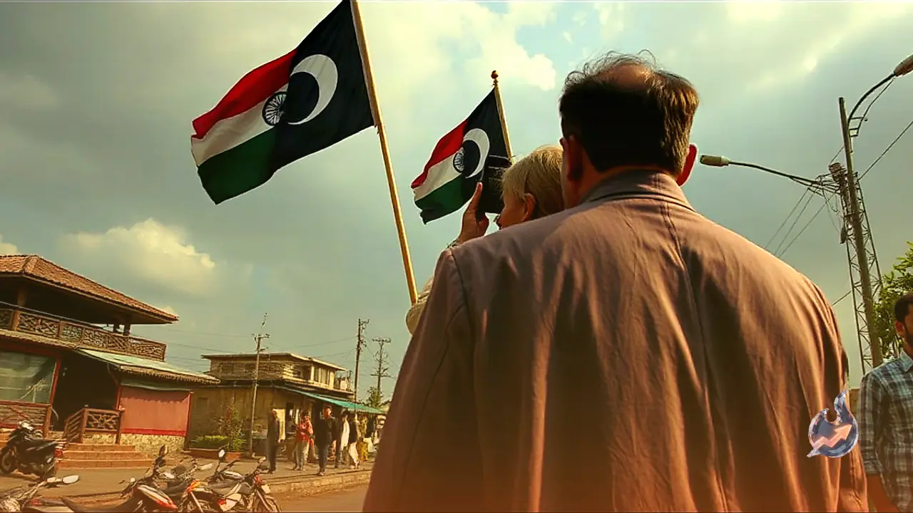
The Ministry of External Affairs used the moment to issue an unambiguous warning to the world. It said the entirety of Jammu and Kashmir and Ladakh are an integral and indivisible part of India, and that international platforms and global maps are required to depict them exactly as they appear on India's official map. The ministry warned that any misleading, incomplete or incorrect depiction of India's boundaries is completely unacceptable, and that there will be no compromise on the matter.

Why India is on guard

This stance did not come out of nowhere. In recent months there has been a flurry of activity around Pakistan's reported moves to change the status of Pakistan-occupied Kashmir, a step that has been described as Pakistan's own version of an Article 370 move. Older episodes, such as Pakistan reportedly ceding the Shaksgam Valley to China, have also fed India's wariness. Against that backdrop, any global map that misrepresents Jammu and Kashmir or Ladakh becomes a direct question of India's sovereignty rather than a mere cartographic detail.

How much has changed since 2019

Since Article 370 was scrapped on 5 August 2019, the region has visibly transformed. Seven years on, a Vande Bharat train now runs to Kashmir, and Ladakh has around 1,800 kilometres of new road network. That is part of why India treats any international ambiguity over these territories so seriously, and why it keeps reasserting its position at every global forum.


Questions & Answers

Which UN proposal did India vote on?
India voted in favour of a UNGA proposal promoting equal area map projections for drawing more accurate world maps.
What condition did India attach to its vote?
India said its support is limited only to the scientific principle of cartography, not to accepting any third party's map.
What did the Ministry of External Affairs say about Jammu and Kashmir and Ladakh?
The ministry said the entirety of Jammu and Kashmir and Ladakh are an integral part of India and must be shown in global maps exactly as per India's official map.
Will India accept any incorrect depiction of its borders?
No, the Ministry of External Affairs made clear that any misleading, incomplete or incorrect depiction of India's boundaries is unacceptable and no compromise will be made.
What recent development is behind this tough stance?
Reports suggest Pakistan is preparing to change the status of PoK, a move being seen as its own version of an Article 370 step.
What has changed in Kashmir and Ladakh since Article 370 was scrapped?
In seven years, a Vande Bharat train now reaches Kashmir and Ladakh has built around 1,800 kilometres of new roads.

Comments 2

Karan Malhotra@karan-malhotra·4m ago

This development goes beyond routine diplomatic formality, touching directly upon the sensitive realms of national security and territorial sovereignty. Amid attempts to alter the status of PoK and strategic disputes over the Shaksgam Valley, any misrepresentation of boundaries poses a direct challenge to India's security and geopolitical integrity. Moving forward, rigorous technical monitoring and a stringent legal stance on global maps will be essential to ensure India's official cartographic boundary is uncompromisingly upheld on all international platforms.

Rohan Verma@rohan-verma·4m ago

It is evident that India is in no mood to tolerate any strategic oversight disguised as technical or scientific map-making on diplomatic platforms. The rapid pace of infrastructure development in border regions demonstrates that any ambiguity by external agencies regarding territorial integrity will be challenged swiftly and sternly. Going ahead, India's strict vigilance across international treaties and global data platforms is certain to intensify.

Citizen journalism

Become a TrendKia journalist

Voice of the people

Share news, photos and videos from your area with TrendKia and let your voice reach the nation. Every citizen a journalist.

Join now
CH 01 LIVE
TrendKia TV ON AIR