






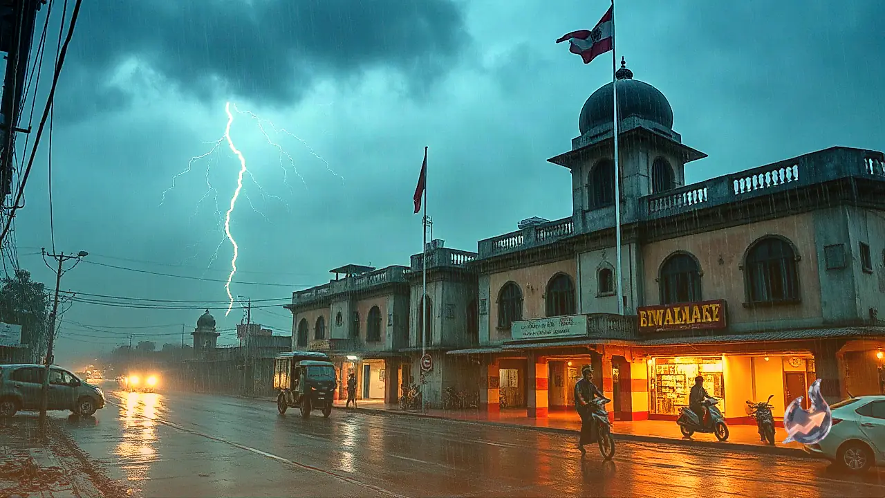















The India Meteorological Department has sounded a weather alert across Jharkhand following a sudden shift in atmospheric conditions. According to local meteorologists, twelve primary districts face the prospect of intense rainfall, heavy thunderstorm activity, and gusty winds reaching speeds of up to 50 kilometers per hour through September 7 and 8. The weather office has additionally signaled isolated heavy precipitation events on September 9, which could strain urban infrastructure and temporarily disrupt movement across affected areas.
Districts Under High Weather Watch
Forecast reports issued by the Ranchi Meteorological Centre highlight twelve districts vulnerable to severe weather conditions during the September 7 to September 8 window. These include Ranchi, Jamshedpur (East Singhbhum), Dumka, Palamu, Gumla, Chatra, Deoghar, Godda, Hazaribagh, Seraikela-Kharsawan, West Singhbhum, and Bokaro. Squally winds gusting up to 50 kilometers per hour are expected to accompany strong cloudbursts and electrical discharges in these localities.
Apart from these twelve focal zones, scattered light to moderate showers and lightning spells remain likely across remaining parts of the state. Meteorological models indicate an expansion in rainfall distribution starting September 8, culminating in heavy downpours at isolated locations on September 9. Citizens in low-lying zones have been advised to brace for possible waterlogging and slow traffic movement.
Lightning Safety Measures and Operational Warnings
Meteorologists have underscored the heightened hazard posed by cloud-to-ground lightning strikes throughout this wet spell. Severe thunderstorm and lightning risks are forecast to linger from September 10 to September 12 as well, prompting official safety directives for residents across rural and urban centers.
Safety guidelines advise individuals to avoid remaining in open spaces or under tall isolated trees, electrical poles, and metal structures during active lightning activity. Outdoor workers and farmers are urged to seek shelter in sturdy concrete structures at the first sign of thunder, minimizing exposure to sudden electrical strikes in fields.
Temperature Variation Across Regions
Despite the wet spell, daytime maximum temperatures across Jharkhand are expected to fluctuate between 30°C and 36°C. The highest temperatures are likely in East Singhbhum and Seraikela-Kharsawan, where mercury levels may touch nearly 36°C. Conversely, Latehar is expected to log the lowest minimum temperature at around 20°C.
In the capital city of Ranchi, the maximum temperature is projected to settle near 31°C, while night-time minimum temperatures will hover around 22°C. Cloud cover and frequent rain spells are set to maintain pleasant weather conditions in Ranchi, Khunti, Ramgarh, Latehar, Lohardaga, and Simdega, where daytime highs will largely remain contained between 30°C and 32°C.
Detailed Forecast Timeline: September 7 to September 12
The meteorological trajectory for the state over the upcoming days includes the following breakdown
- September 7: Heavy rain accompanied by thunderstorms and wind gusts reaching 50 kmph across twelve designated districts.
- September 8: Rainfall coverage widens substantially across larger portions of Jharkhand.
- September 9: Heightened threat of heavy rainfall at isolated locations, with high risks of localized waterlogging and commuter delay.
- September 10 and 11: Continued showers and atmospheric discharges across several regions.
- September 12: Precipitation intensity moderates slightly, though scattered rain and isolated lightning events remain probable.
Looking further ahead, weather agency outlooks project a gradual weakening of monsoon intensity between September 11 and September 17. Nevertheless, immediate caution remains essential through September 9 as rainfall and lightning threats peak.