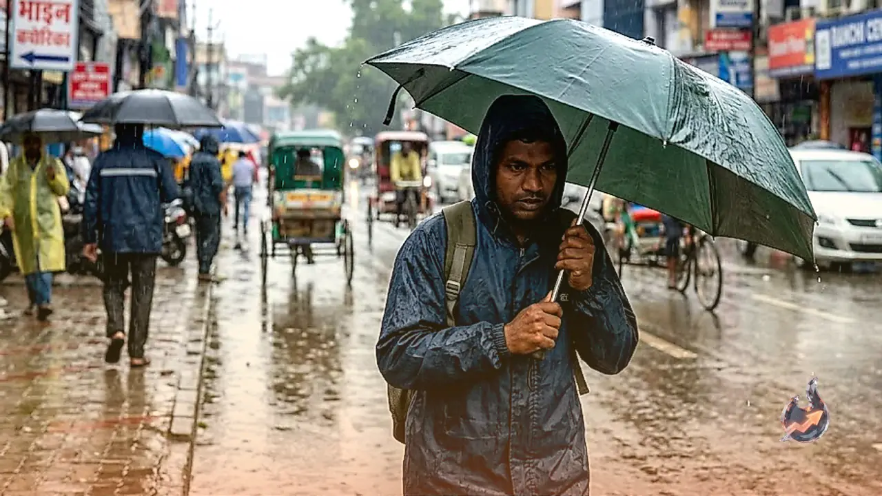























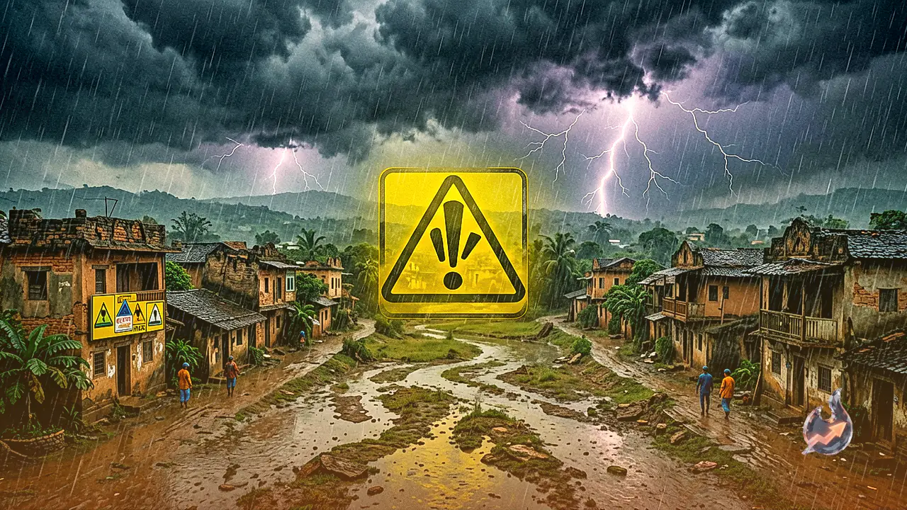

Monsoon activity has gathered significant strength across Jharkhand, bringing a widespread spell of heavy rainfall, gusty winds, and thunderstorm activity to several regions. In response to the worsening weather conditions, the meteorological center has issued a statewide yellow alert for Friday, urging residents and district authorities to maintain high vigilance. Weather officials warned that rainfall events will be accompanied by thunder squalls featuring wind speeds between 30 and 40 km/h along with dangerous lightning strikes. This active rainy phase is forecasted to persist across the state for the next four days.
Heavy Rainfall Yellow Alert Issued for Four Districts
According to the latest meteorological bulletin, North-Eastern and central districts of Jharkhand will experience the primary impact of this intensified weather spell. Heavy downpours are specifically expected at isolated places across Chatra, Hazaribagh, Koderma, and Giridih districts. Meteorologists noted that the rainy spell beginning Friday is anticipated to maintain its momentum over the upcoming four days across most parts of the state. Because sudden wind gusts and cloud-to-ground lightning pose serious safety hazards, people spending time outdoors and agricultural workers have been strongly advised to seek shelter during storm events.
Temperature Drop Expected to Bring Relief From Heat
Regarding temperature trends, residents across the state can expect noticeable relief from humid conditions in the coming days. Maximum temperatures are predicted to remain largely unchanged over the next two days. However, during the subsequent three days, maximum temperatures across Jharkhand are expected to fall by 3 to 4 degrees Celsius. This anticipated thermal decline will help ease the uncomfortable heat experienced in several districts over recent days.
Weather Summary and Temperature Extremes of the Past 24 Hours
During the preceding 24-hour period, light to moderate rainfall accompanied by thunderstorms occurred across multiple locations in Jharkhand. Jamshedpur recorded the highest precipitation level in the state, receiving 67.6 mm of rainfall. Jamshedpur also registered the highest maximum temperature across the state at 35.0 degrees Celsius. Conversely, Kanke in Ranchi recorded the lowest minimum temperature in Jharkhand, dropping to 20.4 degrees Celsius.
Three Simultaneous Weather Systems Driving Monsoon Surge
Meteorologist Abhishek Anand explained that the current atmospheric escalation is being driven by the simultaneous convergence of three distinct weather systems, which have substantially energized monsoon winds across the region.
- Low Pressure Area: A well-marked low pressure area is currently situated over southern Uttar Pradesh and adjoining north-eastern Madhya Pradesh.
- Primary Monsoon Trough: The main monsoon trough line passes directly through Ranchi and Digha before extending into the Bay of Bengal.
- Secondary Trough Line: An additional secondary trough line stretches from Madhya Pradesh down to the Bay of Bengal.
The cumulative interaction of these three active atmospheric formations has significantly strengthened moist monsoon winds over Jharkhand, creating highly favorable conditions for continued rainfall activity.
District-Wise Rainfall Statistics From June 1 to August 27
Precipitation records between June 1 and August 27 reveal substantial regional disparities in rainfall accumulation across Jharkhand. While certain districts have recorded surplus precipitation, others continue to face major rainfall deficits.
West Singhbhum stands out with the highest rainfall surplus in the state, receiving 1106.5 mm of rain compared to its normal average of 775.8 mm, representing a 43% excess above normal levels. On the other end of the spectrum, Deoghar has suffered severe rainfall deficiency, recording 48% less precipitation than its seasonal average. Similarly, Bokaro has recorded a 25% rainfall deficit, while Koderma has also received below-normal precipitation. Several other districts across Jharkhand continue to report rainfall deficits ranging between 20% and 50%.