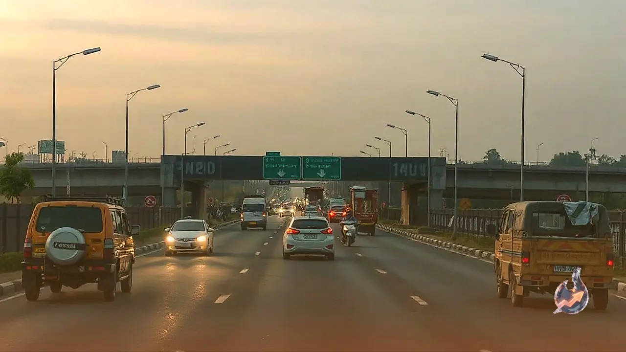























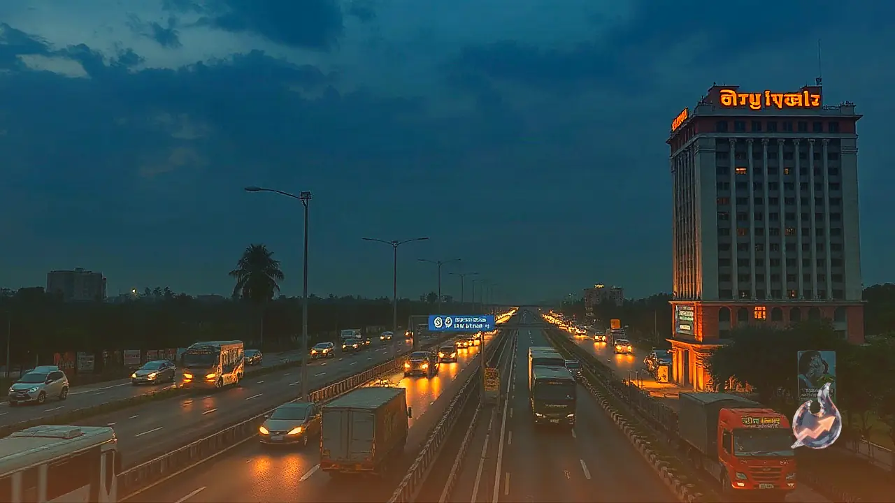

A major infrastructure push is underway in Southern India to establish a high-efficiency transport and trade link between Karnataka and Kerala. The planned 350-kilometre Bengaluru-Malappuram Economic Corridor is poised to transform mobility, freight movement, and commercial exchange between the two neighboring states. This infrastructure project goes far beyond a conventional highway development, functioning as a vital arterial link designed to integrate manufacturing hubs with consumer markets. Bengaluru stands as one of the country's foremost technology and industrial epicenters, commonly known as India's Silicon City, where extensive trade takes place across electronics, automobile components, machinery, and various manufactured goods. In contrast, the northern Kerala district of Malappuram is recognized for its agricultural vitality, spice cultivation, and localized production networks. Establishing a modern, seamless road connection between these two hubs is expected to smoothen freight movement, substantially reduce transit duration, lower overall haulage costs, and generate fresh momentum for commercial activity and local employment.
The Framework of the EC-32 Route Under Bharatmala
The Bengaluru-Malappuram Economic Corridor is an integral segment of the broader national economic corridor grid conceptualized under the central government's Bharatmala project. Designated specifically as the EC-32 corridor in infrastructure planning, the proposed route originates in Bengaluru and tracks in a south-westerly direction across Karnataka before entering Kerala and concluding in Malappuram. The alignment passes through multiple districts, towns, and commercial pockets along the state borders. To build this contiguous corridor, the strategy involves a mix of upgrading existing stretches of national highways to higher lane capacities and constructing modern alignment bypasses and feeder connections where necessary. The broader objective extends well past easing passenger travel; it focuses sharply on transforming commercial freight transportation into a faster, organized, and reliable supply chain channel.
Current Transit Hurdles and Logistics Advantages
Transporting cargo between Bengaluru and the northern districts of Kerala currently involves navigating substantial operational bottlenecks. Freight carriers frequently encounter winding mountain passes, narrow carriage sections, steep gradients, and severe traffic congestion. These physical and logistical challenges add hours to journey times and increase vehicle wear and fuel consumption. An engineered, access-improved corridor will address these chronic transit delays. Once completed, industrial products, assembled hardware, automobiles, and electronic equipment originating from Bengaluru's industrial clusters can reach wholesale and retail markets in Kerala within predictable timeframes. Conversely, Kerala's agricultural commodities, traditional spices, rubber, and horticultural produce can move swiftly into Bengaluru's massive consumer base. Lower transportation turnarounds directly reduce logistics overheads, benefiting both corporate suppliers and retail consumers through improved pricing and fresher produce availability.
Catalyst for Manufacturing, Tourism, and Hospitality
Extensive industrial zones, technology parks, and warehousing nodes surround the greater Bengaluru metropolitan region. In Kerala, the services sector and tourism operate as bedrock pillars of the state economy alongside agriculture. A robust, all-weather highway link between the two regions provides an immediate catalyst for both commercial distribution and leisure mobility. Commuters, holidaymakers, and business travelers will experience smoother, safer, and faster road journeys across state borders. Furthermore, smaller settlements, transit towns, and roadside rural areas along the 350-kilometre route will witness accelerated commercial activity. The hospitality and roadside service ecosystem, including hotels, motels, eateries, fuel stations, maintenance workshops, and repair centers, stands to benefit directly from the consistent influx of interstate traffic.
Construction Complexity Across Hilly Terrain and Regulatory Clearances
Constructing a highway spanning approximately 350 kilometres across diverse topography presents significant engineering and environmental challenges. Key segments of the route traverse hilly and forested landscapes where earthwork, slope stabilization, bridges, and curve realignment require specialized construction techniques. Beyond civil engineering challenges, land acquisition across multiple administrative jurisdictions and securing necessary statutory environmental and forest clearances remain critical milestones. Across different sections of the corridor, development and modernization works are advancing through phased scheduling. Priority is being placed on widening narrow sections into divided multi-lane roads, erecting crash barriers, establishing adequate highway drainage, and deploying modern safety signage to ensure high transit safety across treacherous terrains.
Local Employment and Logistics Infrastructure Growth
The economic footprint of a modern economic corridor extends far beyond the terminal destination cities. The towns and villages distributed along the alignment experience cumulative socio-economic advantages. The construction phase alone creates substantial employment opportunities for site engineers, construction workers, equipment operators, and local suppliers. Over the long term, the presence of an efficient expressway corridor stimulates demand for logistics infrastructure, freight transfer depots, and cold chain storage hubs near major intersections. Warehousing complexes and consolidation centers are likely to emerge along the route, unlocking long-term employment in supply chain management, material handling, transport dispatch, and ancillary support services for the local population.
Strengthening Regional Connectivity in Southern India
The EC-32 corridor is positioned within a broader master plan to integrate transport corridors across Southern India. By intersecting with routes such as the Bengaluru-Mangaluru transport link and adjoining regional economic corridors, it strengthens the cohesiveness of the entire southern peninsula's transit network. It also serves as an important transversal link feeding into extensive coastal routes like the Mumbai-Kanyakumari coastal network, enabling smoother multi-directional transit of goods and personnel. The ultimate aim is to evolve transportation infrastructure from simple transit roads into structural backbones of industrial activity and regional economic growth. Upon full realization, the 350-kilometre Bengaluru-Malappuram corridor will bridge Karnataka's manufacturing strength and Kerala's agricultural and tourism assets closer than ever before.