


















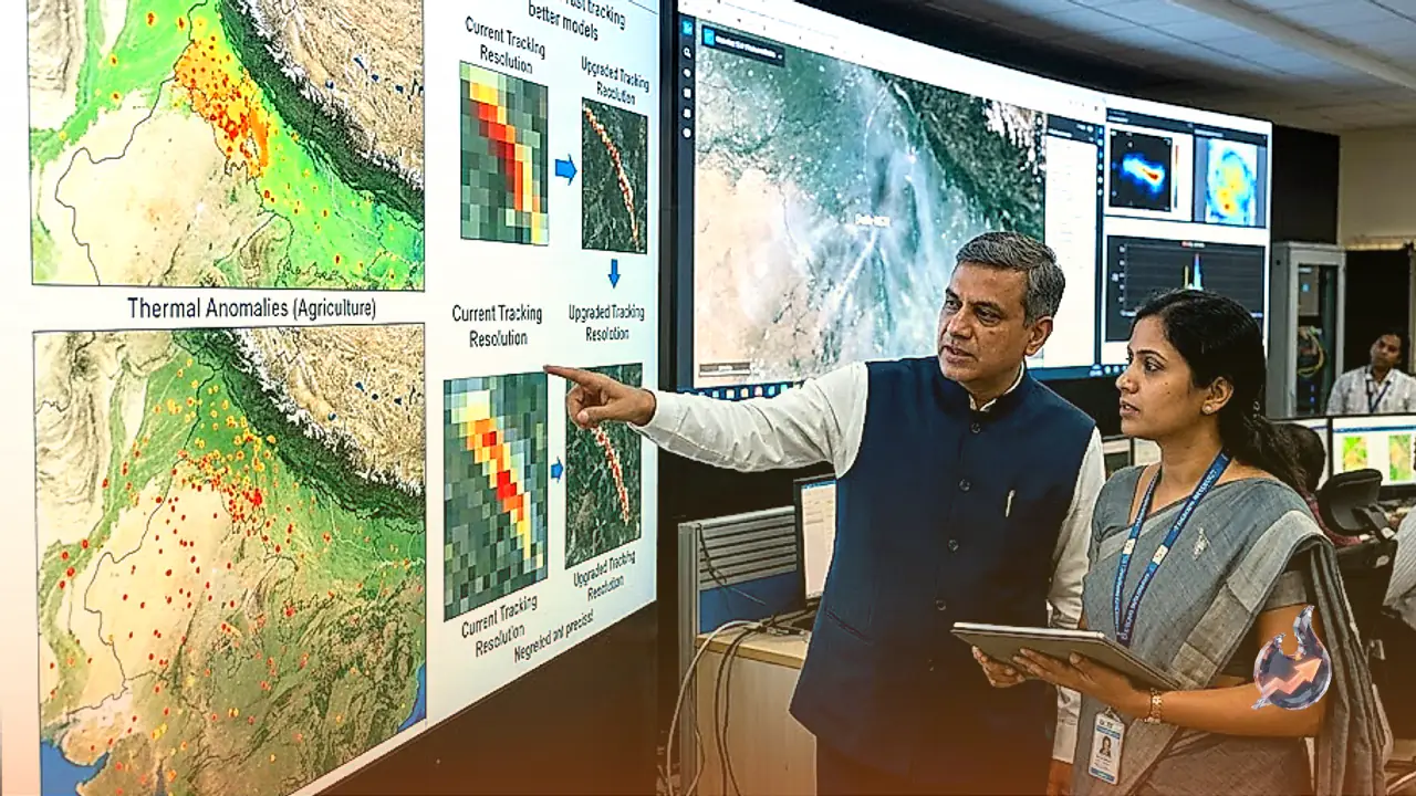

As winter approaches, the National Capital Region routinely grapples with severe air pollution, turning the air hazardous and prompting emergency measures like travel restrictions. Despite ongoing efforts, tackling this seasonal crisis remains an uphill task. In a fresh push to get a stronger grip on the situation, the Commission for Air Quality Management has reached out to the Indian Space Research Organisation with a specific request. The agency wants ISRO to upgrade its satellite-based monitoring models so officials can obtain a precise picture of crop residue burning and take targeted action on the ground.
Why the Current Satellite Model Needs an Upgrade
According to officials at the commission, the existing system struggles to draw a clear line between large-scale field fires and smaller local burning incidents. This limitation skews the actual assessment of how much stubble burning contributes to overall air pollution. The agency believes that having accurate data on the nature and intensity of fires will help categorize them into low, medium, and high levels, allowing authorities to formulate precise control strategies. Discussions between the commission and the space agency have been underway since the conclusion of the previous winter season.
The Existing Monitoring Framework
To assess stubble burning events, the space agency had collaborated in August 2021 with state remote sensing centers and the Indian Agricultural Research Institute to establish a standard protocol. Based on this framework, the institute's specialized laboratories release daily fire counts for Punjab, Haryana, Delhi, Uttar Pradesh, Madhya Pradesh, and Rajasthan. However, questions have continuously been raised regarding the accuracy and timing of these satellite observations, as certain nuances often slip through the cracks of scheduled overpasses.
The Challenge of Evening Stubble Burning
Multiple studies have highlighted that farmers sometimes resort to setting fires late in the evening or at night to evade satellite surveillance. Polar-orbiting satellites typically pass over the designated regions between 10:30 AM and 1:30 PM, meaning fires ignited outside this window often go unrecorded. To bridge this glaring gap, the commission has mandated the use of drones for the first time. Under standard operating procedures issued in late July, states including Punjab, Haryana, Uttar Pradesh, and Rajasthan have been instructed to conduct real-time drone monitoring in vulnerable hotspot areas from 3 PM to 9 PM during the upcoming winter.
Cross-Verifying Drone Footprint with Satellite Data
States have also been directed to maintain a centralized database of all video recordings captured by drones and store them for at least three months following the harvest season. Commission officials noted that data gathered via drones will be cross-checked against the burned area recorded by satellites. This cross-verification aims to boost data reliability and improve the estimation of pollution caused by stubble burning. Air quality in Delhi NCR typically begins deteriorating by mid-September, with the period between September 15 and November 30 serving as a critical window of concern. During the previous winter, recorded farm fires stood at 5,114 in Punjab and 662 in Haryana, while the figures for 2024 rose significantly to 10,909 and 1,406 respectively.