




















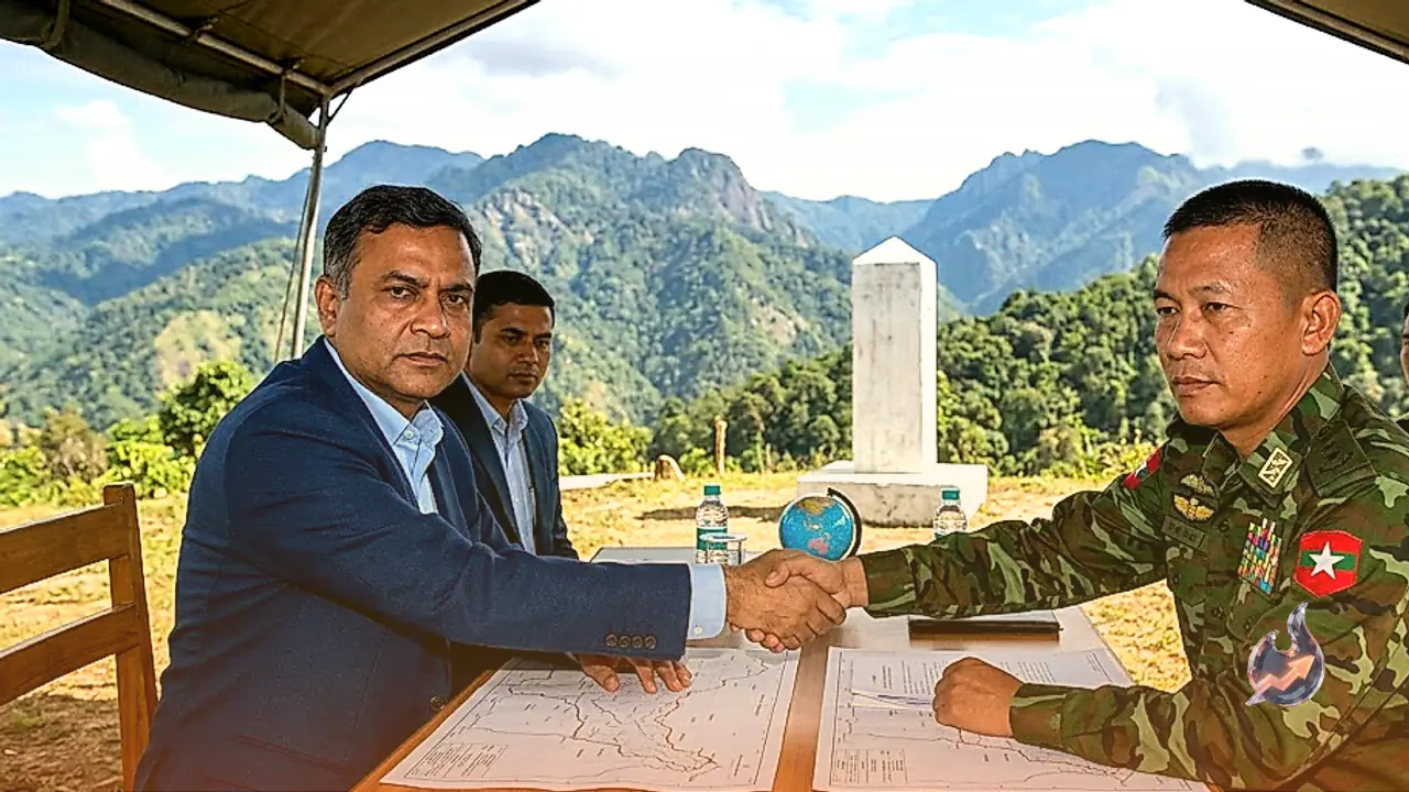

India and Myanmar are actively engaged in diplomatic discussions aimed at settling a long-standing un-demarcated portion of their shared international boundary in Manipur through a potential territorial exchange. Although the Indian government has not issued a formal confirmation regarding the execution of a land swap, the Ministry of External Affairs has officially acknowledged that bilateral talks are currently progressing to resolve border sectors where final demarcation has historically remained pending.
Official Statement from the Ministry of External Affairs
During a press conference conducted in New Delhi on Tuesday, Ministry of External Affairs spokesperson Randhir Jaiswal responded to questions regarding reports of a proposed land exchange along the Manipur section of the international boundary. Addressing the media, Jaiswal noted, "There are some areas on the border that are yet to be demarcated. Discussions are ongoing between both countries regarding those sectors." Although the spokesperson neither explicitly confirmed nor denied the specific details surrounding a land swap proposal, the official response made it clear that diplomatic dialogues are actively moving forward to finalize the boundary lines between the two neighboring nations.
Specific Sector and Territory Under Consideration
An official document dated May 26, 2026 outlines a proposal under active consideration to complete the boundary line by exchanging approximately 1.4 square miles of territory along the border. This specific section stretches between Border Pillar 65 and Border Pillar 68, spanning a distance of roughly 2.8 kilometers. The geographic location identified for this prospective territorial adjustment lies in the Chandel district of Manipur, which borders the Kabaw Valley situated in the Sagaing region of Myanmar. According to the official document from May 26, 2026, authorities anticipated that the demarcation work would be completed within a timeframe of three months, aiming for conclusion around August.
Broader Context of the 1,643-Kilometer Border
India shares a total international land border of approximately 1,643 kilometers with Myanmar, passing through four northeastern states including Arunachal Pradesh, Nagaland, Manipur, and Mizoram. Despite extensive alignment across most sectors, specific stretches along the Manipur border have lacked final demarcation over the decades. The absence of a precise, fully defined international boundary in these sectors has repeatedly created administrative hurdles and security challenges for border management agencies. The ongoing talks represent a significant diplomatic effort to eliminate remaining boundary ambiguities and establish permanent clarity along the frontier.