






















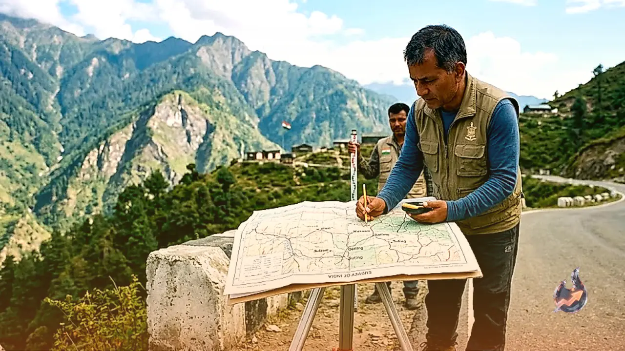

In a decisive administrative and strategic move aimed at reinforcing national border sovereignty, the Government of India has formally mapped 27 prominent locations and geographical features in Arunachal Pradesh using their standard Indian names on official Survey of India maps. Issued by the Ministry of Home Affairs on 7 August 2026, the official order follows comprehensive consultations with the state government of Arunachal Pradesh, establishing an authoritative and legally recognized geospatial record for these sensitive frontier territories.
Countering Foreign Propaganda and Unilateral Renaming
The formal mapping serves as a direct response to persistent attempts by China to assert unfounded territorial claims over Arunachal Pradesh by repeatedly labeling the region as Southern Tibet. For years, foreign authorities have engaged in a deliberate strategy of assigning fabricated names to Indian villages, mountain passes, and rivers to create narrative confusion on international forums. By officially registering indigenous and historically accurate names for key frontier sites such as Longju, Maja, Thag La, and Dzo La, India has effectively neutralized this foreign cartographic propaganda and reasserted its inviolable territorial rights.
Strengthening Border Operations and Administrative Logistics
Beyond its diplomatic importance, the incorporation of these 27 geographical features into the official cartographic registry carries vital operational significance along the Line of Actual Control. Having precise, standardized geographical data enables armed forces, border guarding personnel, and civilian administrators to execute operations with enhanced efficiency and coordination. Clear cartographic identification improves patrolling logistics, infrastructure development, and tactical planning across remote border zones, while simultaneously fostering greater awareness among citizens regarding the country's northern frontiers.
Honoring War Heroes and Strategic Military Memorials
The newly updated official maps also explicitly designate historic military landmarks, including Jaswant Garh and the Sher-e-Thapa Memorial. These memorials stand as enduring symbols of the extraordinary valor and supreme sacrifice of Indian soldiers who defended the nation's borders during historic military engagements. Including these war memorials in the official Survey of India documentation sends a clear and unambiguous signal that India remains fully committed to safeguarding every inch of its land while honoring the legacy of its fallen heroes.
Exposing Cartographic Aggression on the Global Stage
This administrative initiative exposes the inherent flaws of unilateral map diplomacy used by external powers to alter facts on the ground. By codifying native Indian place names into official state records, India has firmly established that changing geographical labels on paper cannot alter territorial reality. The decisive action reinforces India's diplomatic posture on global platforms, demonstrating that fictitious claims and cartographic aggression will not undermine the country's sovereign borders.