

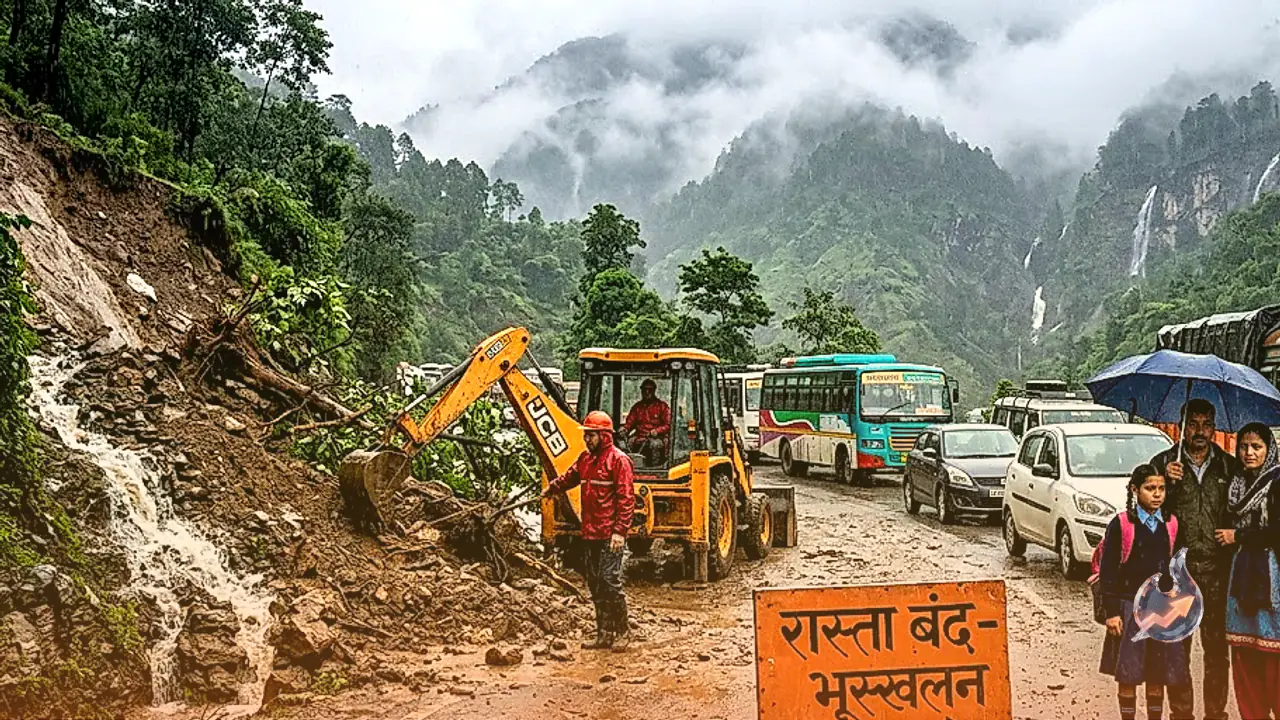




















Monsoon activities remain robust across various parts of the country despite the strengthening of El Nino in the Pacific Ocean. According to meteorologists, winter temperatures may remain above normal in the coming months. However, the direct impact of this global phenomenon has not yet fully materialized over the Indian subcontinent because local weather systems continue to form and activate across the Bay of Bengal, the Arabian Sea, and the Himalayan region. As a result, continuous spells of rain are being witnessed in multiple states.
Active Weather Systems in North India
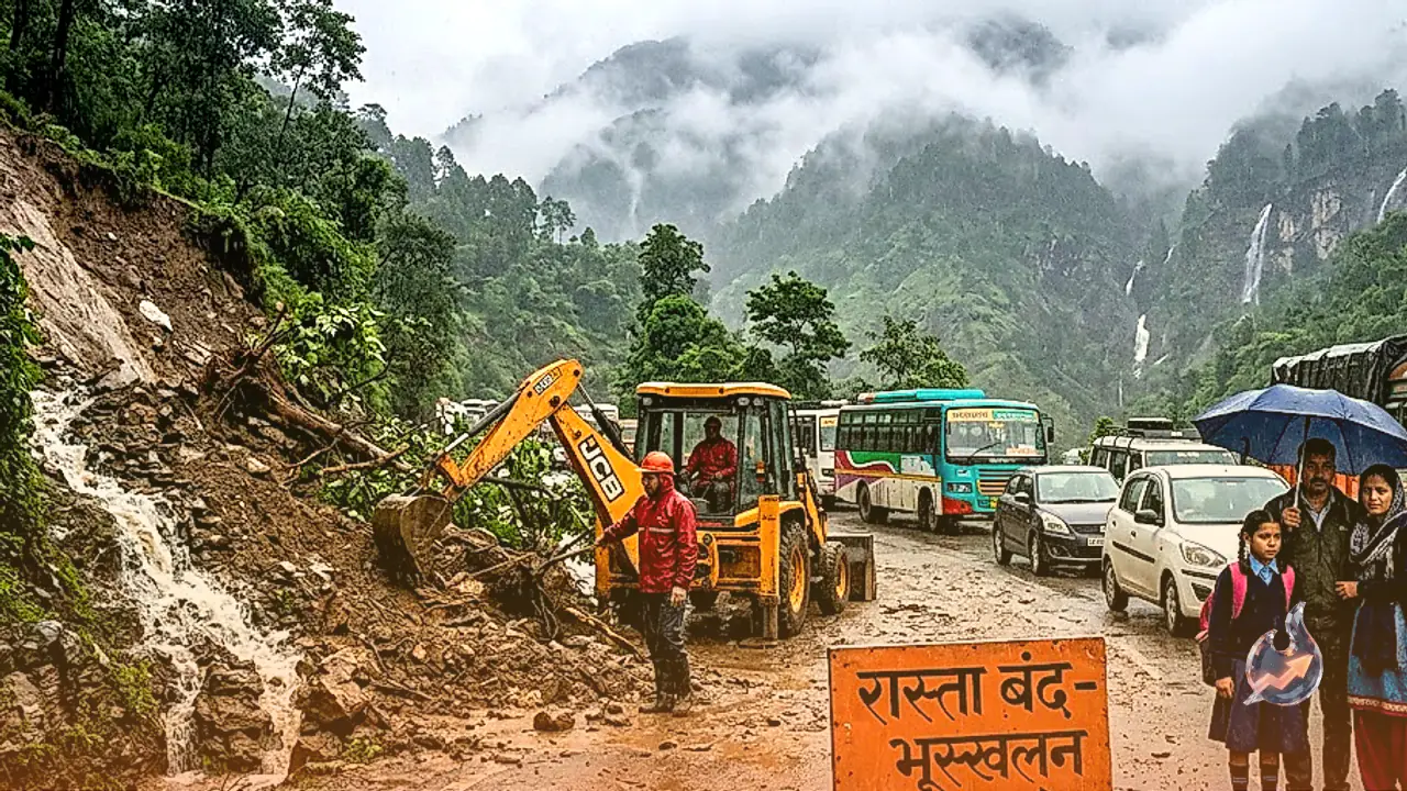
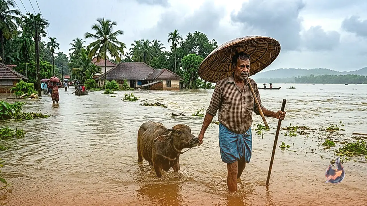
A well-marked low-pressure area has formed over the central parts of northern Madhya Pradesh and adjoining southern Uttar Pradesh. Under its influence, continuous rainfall is lashing regions including Delhi, Uttar Pradesh, Bihar, Jharkhand, Odisha, and West Bengal. Weather patterns have shifted across Jammu and Kashmir, Uttarakhand, and the adjoining plains. Rivers in Bihar and Uttar Pradesh are flowing near high levels, creating flood-like situations in several districts. The weather department indicates that surface winds could reach speeds of forty to fifty kilometers per hour in some areas.
State-Wise Rainfall Forecast
Rajasthan, Haryana, Chandigarh, and Delhi are expected to witness thunderstorms accompanied by showers. Activities will remain active in western Uttar Pradesh until September 6 and in eastern Uttar Pradesh between September 6 and 8. Heavy to very heavy rainfall is likely over parts of Punjab, Haryana, and Chandigarh. Eastern Rajasthan is also expected to receive intense precipitation. Madhya Pradesh is experiencing the most pronounced impact of this new weather system, where heavy showers are expected to continue across both western and eastern regions until September 8. Chhattisgarh and Vidarbha may also experience scattered to widespread rainfall until September 10.
Conditions in Eastern and Northeastern States
In eastern India, West Bengal and Sikkim are likely to experience uninterrupted rainfall until September 10, with heavy downpours expected in West Bengal on September 8 and 9. Jharkhand could receive heavy rain on September 9, while Bihar is projected to witness wet spells between September 5 and 8. Odisha is anticipated to record heavy precipitation on September 9 and 10. Northeastern states including Arunachal Pradesh, Assam, Meghalaya, Nagaland, Manipur, Mizoram, and Tripura will also experience active weather conditions with heavy showers at isolated places through September 10.
Western and Southern Coastal Outlook
Along the western coast, Konkan and Goa are forecasted to receive consistent rainfall until September 10. In contrast, the Gujarat region, Madhya Maharashtra, Marathwada, and Saurashtra-Kutch will experience lighter and more scattered showers, though thunderstorms could accompany conditions in Madhya Maharashtra and Marathwada. Southern peninsular India is expected to see relatively subdued monsoon activity over the next six to seven days. Coastal Karnataka may witness thunderstorms until September 10, while southern regions such as coastal Andhra Pradesh, Kerala, Tamil Nadu, and Telangana will likely experience only isolated rainfall.