





















Weather conditions over the Bay of Bengal are showing signs of severe deterioration once again, sending ripples of anxiety across coastal communities. The states of Andhra Pradesh and Odisha have barely begun recovering from the lingering impacts of recent cyclones Arnab and Murasu when the threat of yet another major storm has emerged on the horizon. According to meteorological authorities, a low-pressure area formed over the southeast Bay of Bengal is rapidly intensifying. Forecasters indicate that this weather system is likely to concentrate into a deep depression within the next twenty-four hours and subsequently escalate into a full-fledged cyclonic storm.
Intensifying Pressure and the Origin of Storm Aqwan
Data from the India Meteorological Department highlights that the well-marked low-pressure area currently sits firmly over the southeast Bay of Bengal. The associated cyclonic circulation extends up to an altitude of roughly seven point six kilometers above mean sea level. Weather models suggest this system will drift in a northwestward direction before gathering further strength into a deep depression. Following this phase, it is expected to curve toward the north-northwest. Forecasters project that by the evening of November 16, the system will organize into a cyclonic storm over the south and adjoining west-central Bay of Bengal. This prospective cyclone has been designated the name Aqwan, a suggestion put forward by Iran, which translates to ill-natured in literal terms.
Wind Speeds and Severe Weather Projections
The projected intensity of this developing weather system has prompted serious warnings from forecasting agencies. When the system matures into a cyclone, sustained wind speeds are anticipated to hover between eighty-five and ninety-five kilometers per hour, with powerful gusts potentially reaching up to one hundred five kilometers per hour. Prevailing atmospheric conditions, including north-easterly winds blowing across the lower troposphere over Andhra Pradesh and Yanam, are closely tied to these developments. As the system over the Bay of Bengal consolidates its structure, weather patterns across the eastern coast are expected to undergo swift and dramatic shifts.
Potential Landfall and Associated Risks
Meteorologists are tracking indications that if this system evolves into a severe cyclone and approaches coastal belts, it could potentially make landfall between Machilipatnam and Visakhapatnam in Andhra Pradesh. However, weather authorities have not yet issued any final confirmation regarding the exact geographic point or precise timing of the landfall, as atmospheric variables frequently alter trajectory forecasts. Should the system track close to the mainland, it poses an acute threat of torrential rainfall and destructive winds. Such conditions necessitate close monitoring of official bulletins by local administrations and residents in vulnerable coastal districts.
Advisories Issued for Fishermen and Coastal Residents
In response to anticipated rough sea conditions and towering waves, authorities have issued strict advisories barring fishermen from venturing into the waters of the Bay of Bengal. Populations residing in low-lying coastal sectors have been urged to remain vigilant and stay informed about evacuation protocols if conditions deteriorate further. The trajectory, intensity, and ultimate coastal impact of this developing weather phenomenon will depend heavily on subsequent updates issued by meteorological offices over the coming days, making continuous observation essential for public safety.
Compounding Agricultural Losses and Previous Storm Trauma
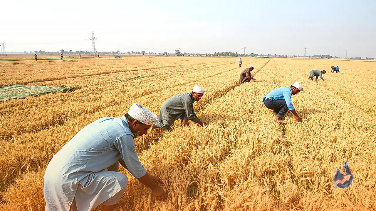
The apprehension surrounding this storm is particularly acute for Andhra Pradesh, which is still grappling to rebuild infrastructure following the widespread devastation caused by cyclones Arnab and Murasu. Those earlier weather events flattened standing crops across thousands of acres of farmland, plunging local farming communities into deep distress. In addition to agricultural losses, high winds and flooding from the previous systems damaged vital roadways and uprooted electricity poles across multiple districts. The prospect of a fresh weather disturbance compounds these existing hardships, threatening further setbacks to regional recovery efforts.