




















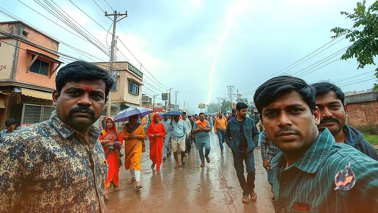

A fresh meteorological shift spurred by the joint influence of an upper-air cyclonic circulation and a passing western disturbance has altered atmospheric conditions across Rajasthan. On October 18, parts of eastern Rajasthan are poised to witness localized convective activity, featuring thunder, lightning flashes, and intermittent light to moderate downpours. Gusty surface winds whistling at velocities between 30 and 40 kilometers per hour are expected to accompany these localized thunderclouds. Meteorological authorities have urged heightened public caution across six vulnerable eastern districts, while the arid western half of the state will remain predominantly dry under clear skies.
Atmospheric Instability Across Four Eastern Divisions
Observations recorded by the Meteorological Centre Jaipur confirm that an active circulation system currently dominates the troposphere above eastern Rajasthan. This dynamic atmospheric feature is driving moisture and cloud formation over pockets of Jaipur, Bharatpur, Ajmer, and Kota divisions. Intermittent cloudbursts and rumbling thunder are slated to persist through Sunday in selected pockets of these eastern tracts. Weather specialists emphasize that this precipitation will remain localized rather than manifesting as widespread statewide rainfall, depending largely upon micro-climatic moisture convergence.
Precautionary Advisories for Six Vulnerable Districts
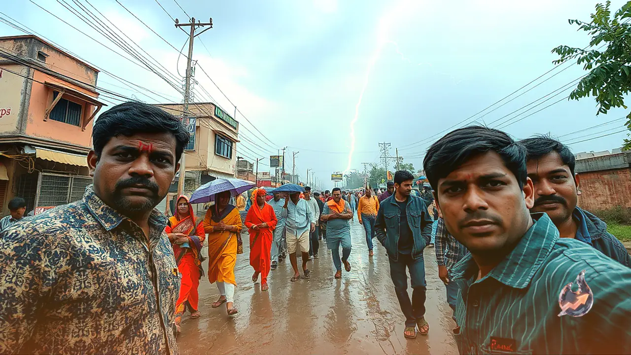
District-level assessments indicate that Baran, Bundi, Karauli, Kota, Sawai Madhopur, and Tonk face significant hazards linked to convective storms. Residents in these six districts must brace for cloud-to-ground lightning discharge alongside sudden squalls packing speeds of 30 to 40 kilometers per hour. Disaster safety norms urge agricultural laborers, travelers, and city dwellers to avoid open fields, solitary trees, utility poles, and unstable temporary structures during stormy bursts, as lightning strikes present acute life-threatening dangers during unstable transitional weather phases.
Desert Districts to Experience Persistent Dry Weather
In sharp contrast to the unsettled eastern districts, the arid expanse of western Rajasthan will maintain stable, clear skies over the next five to six days. Arid and semi-arid territories including Barmer, Balotra, Jaisalmer, Bikaner, Jodhpur, Phalodi, Jalore, Pali, Nagaur, Didwana-Kuchaman, Churu, Hanumangarh, and Sri Ganganagar are unlikely to register any noticeable rain. Across the preceding 24-hour cycle, Rajasthan witnessed broadly dry conditions interspersed with isolated sprinkles under lingering disturbance remnants. Notably, Barmer touched a daytime high of 37.8 degrees Celsius over this past 24-hour stretch, highlighting the continued warmth across the desert landscape.
Met Expectations for Capital City Jaipur
Skies over the state capital Jaipur on October 18 are slated to stay mostly clear through large parts of the day, although sporadic cloud patches, thunder, and localized sprinkles cannot be entirely ruled out across peripheral belts of the division. The temperature envelope for Jaipur indicates an afternoon maximum hovering around 33 degrees Celsius, tapering off to a comfortable overnight minimum of approximately 21 degrees Celsius, subject to regional micro-variations.
Rain Activity to Taper from October 19 Ahead of Fresh Disturbance
According to weather analysts, active precipitation across eastern Rajasthan is slated to retreat substantially starting October 19. Dry and sunny conditions are anticipated to hold sway across the state on October 20, 21, and 22. Western Rajasthan in particular can anticipate uninterrupted dryness over the coming five to six days. Nonetheless, meteorologists are closely monitoring the approach of another western disturbance likely to sweep across northwestern Rajasthan on October 23 and 24, which could introduce another round of climatic turbulence before the end of the month.