




















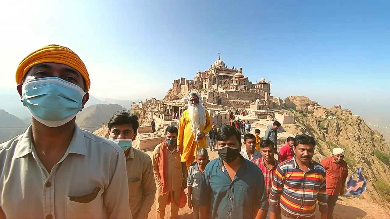

Mount Abu in Sirohi district is widely celebrated as Rajasthan's premier hill station, drawing travellers from across the country for its pleasant climate and rugged landscapes. Alongside the urban municipal council of the town, the region is also home to Oriya, the single rural local body operating on these mountain slopes. Oriya holds the unique distinction of being the highest gram panchayat in the entire state of Rajasthan, housing Guru Shikhar, the crowning summit of the Aravalli mountain range, which towers at an elevation of 1,722 metres above sea level. The jurisdiction encompasses prominent landmarks such as the Achalgarh fort, the Peace Park, and picturesque viewpoints that regularly attract visitors.
Demographics, Local Settlements, and Ghost Villages
Nine distinct rural settlements fall within the administrative borders of Oriya gram panchayat: Achalgarh, Oriya, Utraj, Guru Shikhar, Shergaon, Jawai, Aarna, Aaki, and Block Number 3. The community comprises diverse social groups living across roughly 200 to 250 households. According to Village Development Officer Ashok Singh, the official census of 2011 recorded a population of 1,159 residents. In recent electoral revisions, the voter count expanded to 2,200 individuals, while the overall local population currently stands at an estimated 3,000 people.
However, two of the nine villages exist only on official maps. Both Aaki and Block Number 3 have stood deserted for nearly a century without a single permanent resident. Historical accounts indicate that an epidemic struck the region around the 1930s. Compounded by severe isolation and a total absence of civic infrastructure, the surviving residents abandoned their dwellings and migrated elsewhere, leaving the two hamlets permanently deserted ever since.
Trekking Rocky Trails: Daily Realities in Remote Hamlets
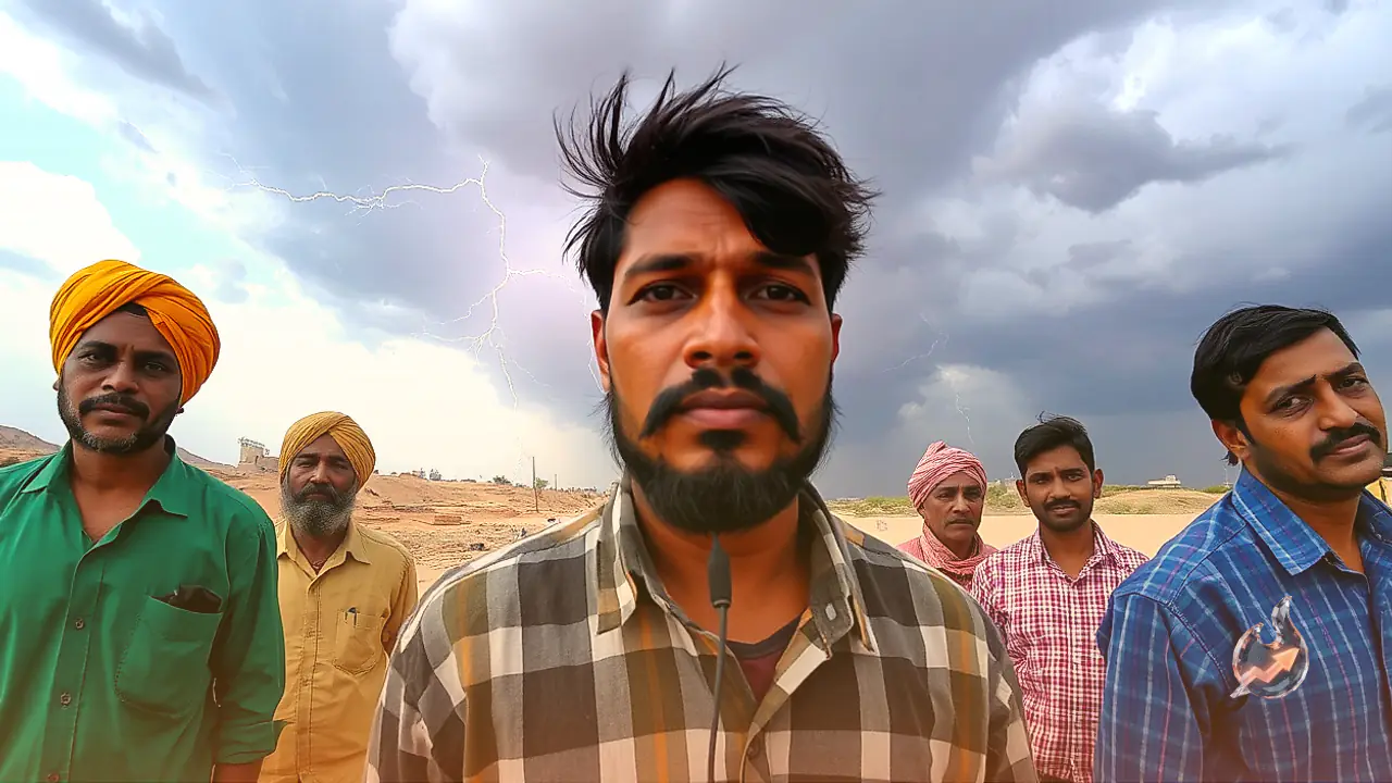
Life remains exceptionally demanding for families settled in the interior settlements of Shergaon and Utraj. Shergaon is situated at a staggering altitude of approximately 1,500 metres above sea level. To this day, neither village has a motorable road connection, forcing villagers to rely exclusively on steep, winding mountain pathways. Residents frequently walk distances ranging between 7 and 12 kilometres along rugged slopes just to reach Guru Shikhar or access the main transport routes.
Civic duties demand similar endurance. When election day arrives, electors from Shergaon must trek roughly 5 kilometres on foot across difficult terrain to cast their ballots at the polling booth located in Utraj. Extreme climatic conditions further complicate daily survival. During peak winter, temperatures drop sharply across these elevated ridges, bringing biting frost. Due to the lack of modern heating amenities and adequate healthcare support, several households temporarily shift down to lower altitudes until the bitter cold recedes.
Commercial Inflows Versus Lingering Development Gaps
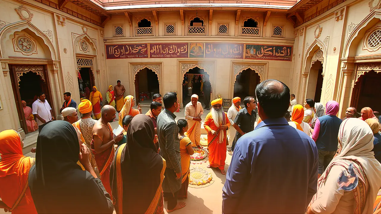
Culturally and economically, Oriya gram panchayat is deeply anchored in heritage and spiritual tourism. Pilgrims and tourists arrive in steady numbers to visit the historical Achalgarh fort, the revered Achaleshwar Mahadev shrine, centuries-old Jain temples, the Chamunda Mata temple, and the Maa Kali temple. Legend also surrounds Bhim Gufa, a cave traditionally associated with the Mahabharata figure Bhima. Nearby, the Brahma Kumaris Peace Park draws visitors seeking meditation and calm from all over India and abroad.
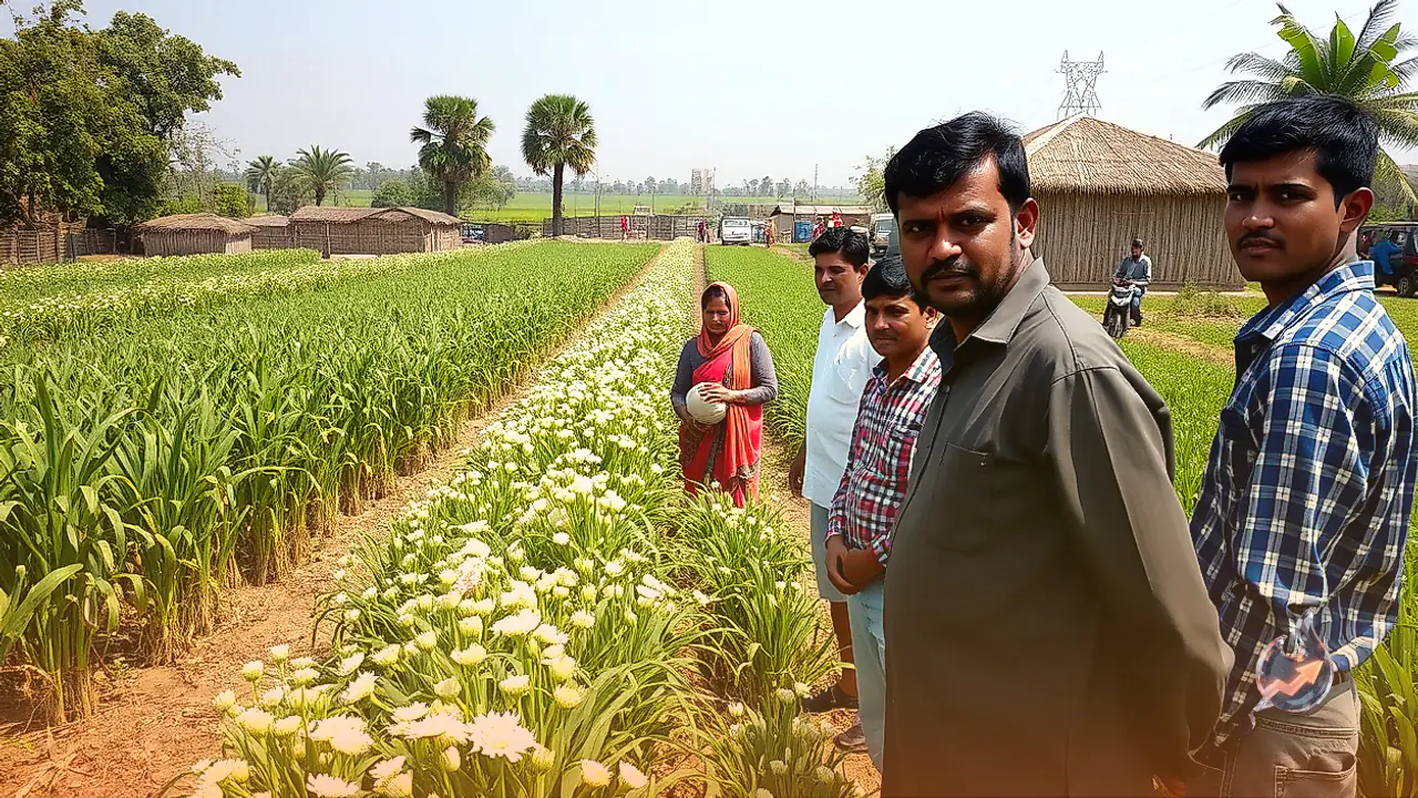
Financially, the gram panchayat generates its primary income through a municipal toll barrier and commercial licences linked to the hospitality and visitor economy. While agriculture, livestock rearing, and tourism services provide basic subsistence for local families, systemic developmental challenges persist. Despite being the highest local body in Rajasthan and generating substantial tourist earnings, residents in outlying hamlets continue their daily struggle for accessible healthcare, quality schooling, and paved roads.