



















Monsoon Weakens Across Rajasthan As Dry Weather Prevails, IMD Predicts Fresh Spell From September 11Rajasthan
10 Sept 2026, 5:58 am (1 hour ago)· 3

Monsoon Weakens Across Rajasthan As Dry Weather Prevails, IMD Predicts Fresh Spell From September 11

Monsoon activity has slowed down significantly across Rajasthan, keeping most parts dry with temperatures reaching up to 39.4 degrees Celsius in Sri Ganganagar. However, meteorological officials expect a new low-pressure system over the Bay of Bengal to revive rainfall starting September 11.

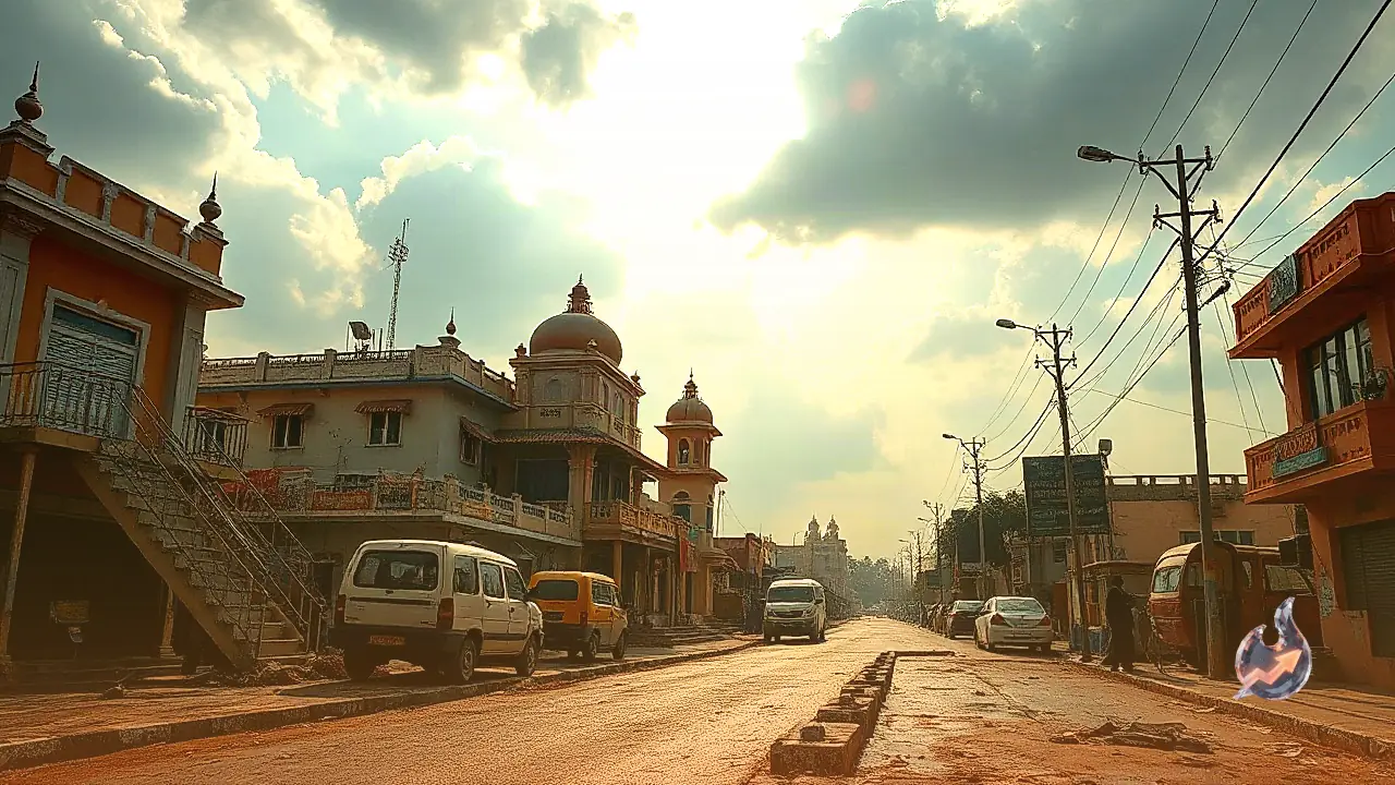
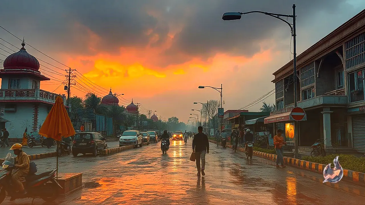
Weather conditions across Rajasthan have turned sluggish as monsoon activity experiences a temporary slowdown, leaving most regions dry. According to the Meteorological Center in Jaipur, dry westerly winds are currently dominant across the state, subduing major precipitation spells. Sri Ganganagar recorded the highest maximum temperature in the state at 39.4 degrees Celsius. However, this calm and dry phase is projected to be short-lived as incoming weather systems point toward a shift in atmospheric conditions.

New Low-Pressure System Set To Revive Rainfall

Meteorological models indicate that a fresh low-pressure area is likely to form around September 11 near the northern Andhra Pradesh and southern Odisha coasts adjacent to the Bay of Bengal. Under the influence of this upcoming system, a new spell of light to moderate rainfall is expected to commence over parts of eastern Rajasthan starting September 11, bringing potential relief from the ongoing dry spell.

Also read

Expanded Rainfall Activity Expected From September 12 to 15

As the weather system progresses, precipitation is anticipated to expand to more regions between September 12 and 15, covering additional parts of the Jaipur, Bharatpur, Kota, Udaipur, and Ajmer divisions. Specifically on September 13 and 14, isolated pockets within the Kota division and surrounding areas could witness moderate to heavy downpours, accompanied by local thunderstorms and lightning activity.

Scattered Showers Expected In Western Rajasthan

In contrast to the eastern districts, the impact of the upcoming rain spell in western Rajasthan is expected to remain relatively subdued. Districts within the Jodhpur and Bikaner divisions may experience light and isolated showers between September 13 and 15, indicating that widespread heavy rainfall is currently unlikely in the western desert region.

The current monsoon trough extends from Jammu through Dehradun, Pantnagar, Barabanki, Dehri, Purulia, and Digha toward the east-central Bay of Bengal. Additionally, a cyclonic circulation is active near northern Haryana at an elevation of 1.5 kilometers, while another western disturbance in the form of a cyclonic circulation persists over western Uttar Pradesh between 4.5 and 5.8 kilometers above mean sea level.

Why Staying Updated On Local Weather Is Crucial

Since the trajectory and intensity of these overlapping weather systems are subject to change, the spatial distribution of rainfall may also fluctuate accordingly. Farmers and residents have been advised to keep a close watch on local weather updates to stay informed about shifting atmospheric patterns and plan their activities safely.


Questions & Answers

What will the weather be like across Rajasthan on September 10?
The weather across most parts of Rajasthan is expected to remain generally dry on September 10 with no major rainfall activity.
Where was the highest temperature recorded in the state?
Sri Ganganagar recorded the highest maximum temperature in the state at 39.4 degrees Celsius.
When is a fresh spell of rain expected to begin in Rajasthan?
Light to moderate rainfall is expected to commence over parts of eastern Rajasthan starting September 11 due to a potential low-pressure system in the Bay of Bengal.
Which divisions are forecasted to receive heavy rainfall?
Isolated pockets within the Kota division and surrounding areas are likely to experience moderate to heavy rainfall on September 13 and 14.
What is the rain forecast for western Rajasthan?
Districts in the Jodhpur and Bikaner divisions may experience light and scattered showers between September 13 and 15.
Where is the monsoon trough currently positioned?
The monsoon trough currently extends from Jammu through Dehradun, Pantnagar, Barabanki, Dehri, Purulia, and Digha toward the east-central Bay of Bengal.

Comments 2

Karan Malhotra@karan-malhotra·43m ago

Amid this monsoon slowdown and the upcoming low-pressure system, maintaining vigilance on public safety and disaster management will be crucial during the weather transition. Especially with heavy rains and potential waterlogging warned across eastern Rajasthan between September 11 and 15, local authorities and law enforcement agencies will need to reinforce safety measures in low-lying areas to effectively handle any emergency situations.

Rohan Verma@rohan-verma·43m ago

With overlapping cyclonic circulations and western disturbances active across neighboring northern regions, administrative coordination and agricultural preparedness become critical. Since atmospheric systems transcend state borders, the resulting weather shifts in adjacent zones can significantly impact regional logistics and farming schedules. Local authorities must ensure robust drainage management in vulnerable pockets to prevent civic disruption during heavy spells.

Citizen journalism

Become a TrendKia journalist

Voice of the people

Share news, photos and videos from your area with TrendKia and let your voice reach the nation. Every citizen a journalist.

Join now
CH 01 LIVE
TrendKia TV ON AIR