























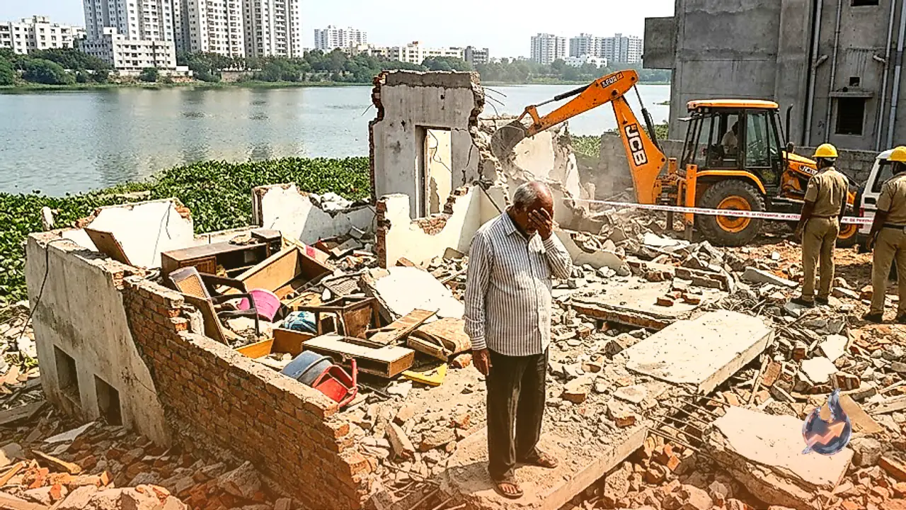

Prospective property buyers looking to purchase plots, independent houses, or villas in and around Hyderabad must exercise caution before trusting registered deeds or local municipal clearances alone. The civic administration has escalated enforcement measures to protect urban water bodies, leading to the demolition of hundreds of properties. Several razed properties possessed valid sub-registrar documentation and local planning sanctions, yet were found to be directly infringing upon lake conservation regulations.
The Core Reason Behind Civic Demolitions
The primary trigger for the administrative crackdown is the encroachment of buildings into Full Tank Level zones or designated buffer belts. Under environmental protection statutes and wetland preservation mandates, executing any permanent concrete construction within these restricted hydrological boundaries is strictly unlawful, regardless of whether a property transaction was processed through a registry office.
Understanding Full Tank Level and Protected Buffers
Full Tank Level, abbreviated as FTL, marks the ultimate water storage boundary of a lake, tank, or catchment area when filled to its total capacity. Constructing any permanent or temporary physical establishment within this maximum spread limit remains completely prohibited under municipal law.
The buffer zone constitutes the outer defensive perimeter flanking the FTL boundary. Maintaining this belt as open land is mandatory to uphold ecological stability and prevent urban flooding during peak monsoon inflows. While controlled agricultural use may be permitted within this zone, developing residential structures, commercial retail units, storage warehouses, or even perimeter compound walls is treated as an offense.
Why Property Registration Fails to Guarantee Legality
A widespread assumption among real estate buyers is that completed registration at a sub-registrar office confirms absolute property legality. Legal authorities clarify that registration deeds merely record the financial and ownership transaction between private parties. The deed provides zero technical certification that the underlying parcel of land sits clear of lake beds, FTL lines, environmental buffers, or natural drainage canals.
How to Verify Land Records on the Official Portal
Validating whether a specific survey number borders a lake or encroaches on protected zones requires a straightforward online verification process.
- Access the official lake conservation portal operated by the Hyderabad Metropolitan Development Authority, known as HMDA.
- Select the specific district, mandal, and revenue village where the property is located.
- Locate the relevant water body and view its authorized cadastral and FTL map.
- Cross-examine the village revenue records and plot survey numbers with the hydrological map to confirm that the parcel falls outside prohibited zones.
Securing a technical assessment of FTL and buffer zone demarcations before finalizing any real estate transaction remains the only foolproof safeguard for buyers' financial investments.