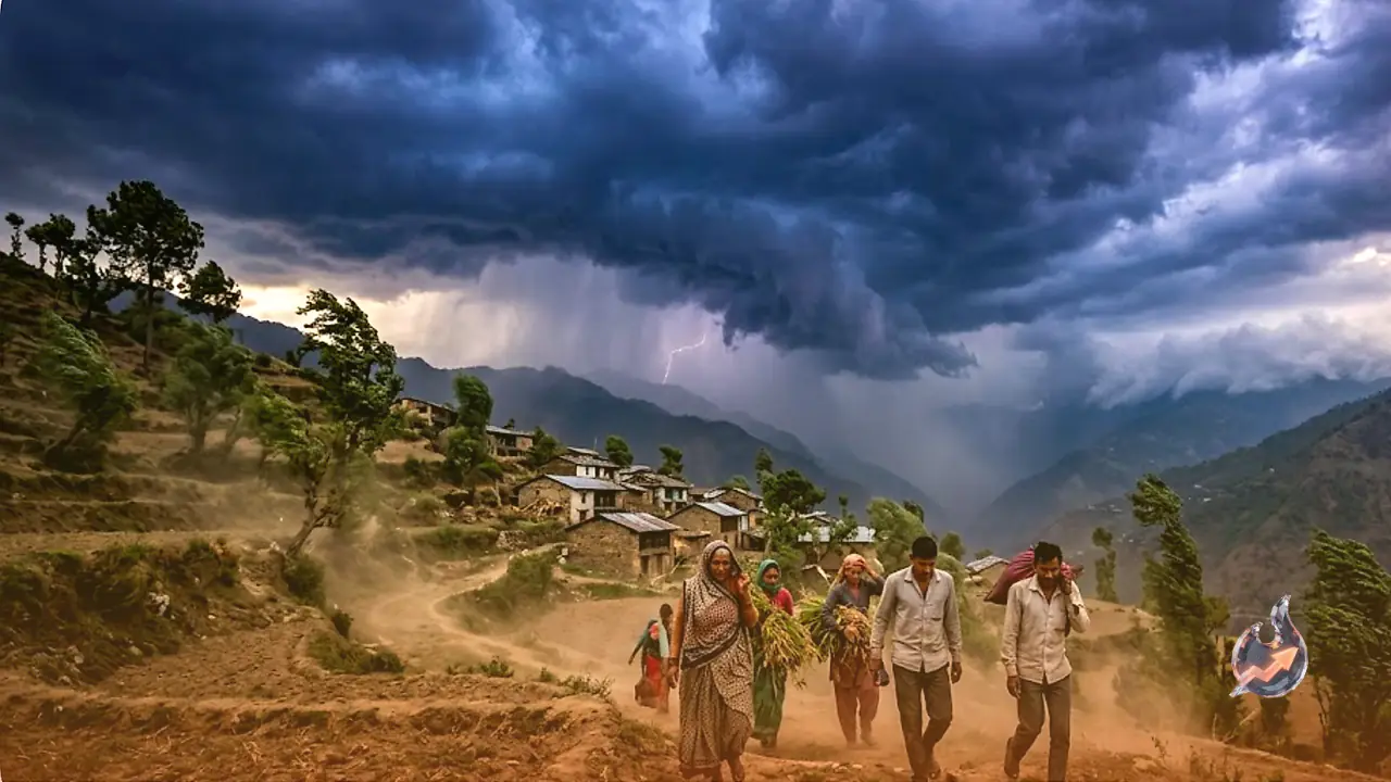

Uttarakhand is in for an unsettled spell of weather, and the next few days promise little respite. Several hill districts will keep seeing light to moderate rain along with thunderstorms, while some pockets face the threat of strong winds and lightning strikes. The weather department has urged people to stay alert. The bigger headline, though, is that the wait for the monsoon is going to stretch much longer this year.
Monsoon running 7 to 10 days behind schedule
Weather scientists say no strong system has formed over the Bay of Bengal, and the monsoon's advance across the country has slowed to a crawl. As a result, the monsoon will reach Uttarakhand roughly 7 to 10 days later than its usual date. The state normally gets its first monsoon showers by 25 June, but this time the wait could last until the first week of July. Pre-monsoon showers will keep the hills pleasant in the meantime, and the plains can expect some relief from the heat. Clouds and intermittent rain will continue over Dehradun and several other districts.
Yellow alert for eight districts today and tomorrow
On Wednesday, 24 June, Uttarkashi, Rudraprayag, Chamoli, Bageshwar, Nainital, Dehradun, Tehri and Pithoragarh could see light to moderate rain or thundershowers at a few places, with patchy light rain likely elsewhere in the state. For 24 and 25 June, a yellow alert has been issued for Uttarkashi, Rudraprayag, Chamoli, Bageshwar, Dehradun, Tehri, Nainital and Pithoragarh. These districts have been warned of thunderstorms with lightning and winds gusting at 40 to 50 kilometres per hour.
How the mercury behaved in the last 24 hours
Over the past 24 hours, the maximum temperature in the plains stayed above normal, while the hills recorded below-normal readings. Minimum temperatures too were above normal in the plains and well below normal in the mountains. The state's highest temperature, 38.0 degrees Celsius, was logged at Pantnagar (Udham Singh Nagar), while the lowest, 5.2 degrees, was recorded at Kedarnath (Rudraprayag). No major change in maximum temperatures is expected over the next 4 to 5 days.
Where the rain will fall in the coming days
On 25 June, Uttarkashi, Rudraprayag, Chamoli, Bageshwar, Nainital, Dehradun, Tehri and Pithoragarh may see light to moderate rain and thundershowers at some spots, with isolated light rain possible in other districts. On 26 and 27 June, Uttarkashi, Rudraprayag, Chamoli, Bageshwar and Pithoragarh could get light to moderate rain in places, while Haridwar and Udham Singh Nagar are likely to stay dry. The same five districts will continue to see rain and thunderstorm activity on 28 June. On 29 June, most hill districts may get light to moderate rain at a few places, with patchy light rain possible in Haridwar and Udham Singh Nagar.
Dehradun's six-day outlook
The capital, Dehradun, will see fluctuating temperatures from 24 to 29 June. The mercury is expected between 24 and 36 degrees on 24 June, 25 and 37 degrees on 25 June, and 25 and 37 degrees on 26 June. It could climb to 26 to 38 degrees on 27 June, 27 to 39 degrees on 28 June and 27 to 38 degrees on 29 June. Partly cloudy skies are forecast through this period, with rain, thunder, lightning and strong winds likely across many areas.
Why the monsoon wait will be longer
The wait for the monsoon could stretch a few more days. The main reasons are the sluggish movement of the monsoon winds across the country and the absence of a favourable weather system over the Bay of Bengal. The monsoon usually becomes active over Uttarakhand after 25 June, but the signs this year point to a later arrival. In the meantime, pre-monsoon rain will keep the hill regions pleasant and offer the plains some respite from the heat.