




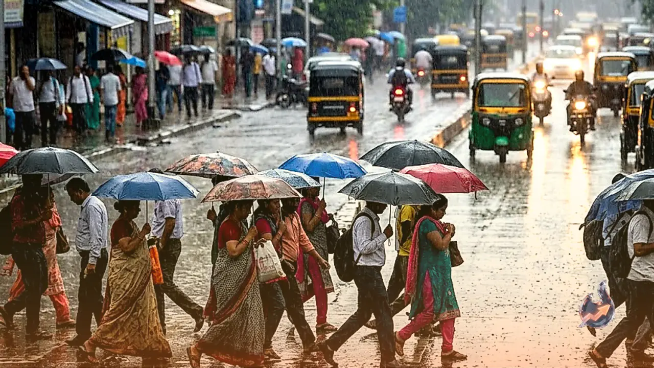
















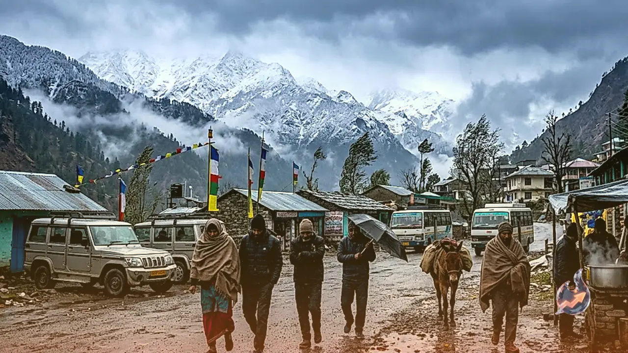

A pronounced shift in atmospheric dynamics across Uttarakhand has triggered widespread precipitation and a sharp plunge in temperatures across both highland and lowland regions. Beginning 15 October, extensive cloud cover has enveloped the state, bringing light to moderate rain showers accompanied by thunderstorms across numerous districts. At higher Himalayan elevations, the seasonal arrival of fresh snowfall is actively transforming alpine ridges, while plain regions are feeling the brisk onset of autumnal chill.
Early Snowfall Predicted Across High Ridges of Kumaon and Garhwal
Meteorological evaluations indicate that the core impact of this active weather disturbance will remain concentrated over the Kumaon division and the uppermost ridges of Garhwal on 15 and 16 October. Peaks situated at altitudes between 3500 and 3800 meters, as well as higher elevations, are poised to record fresh seasonal snowfall. This accumulation of snow along high passes is driving night temperatures down toward the freezing mark.
Throughout Kumaon, districts are experiencing intermittent spells of light to moderate rainfall. On 16 October, this damp spell is anticipated to persist across Nainital, Almora, Chamoli, Rudraprayag, Bageshwar, Champawat, Udham Singh Nagar, and frontier Pithoragarh districts. Sustained moisture incursion and persistent rain showers are rapidly cooling down local valley environments, setting the stage for an intense winter phase.
Thunderstorms and Gusty Winds Alert for Dehradun, Haridwar, and Uttarkashi
The state meteorological center has issued a weather watch covering Dehradun, Uttarkashi, and the religious hub of Haridwar, particularly highlighting plains and foothill belts. Residents across these areas have been advised to prepare for squally wind gusts clocking speeds between 40 and 50 kilometers per hour, alongside cloud-to-ground lightning strikes and isolated hailstorms. Heavy cloud formations on 15 October are slated to deliver sporadic rounds of light to moderate precipitation.
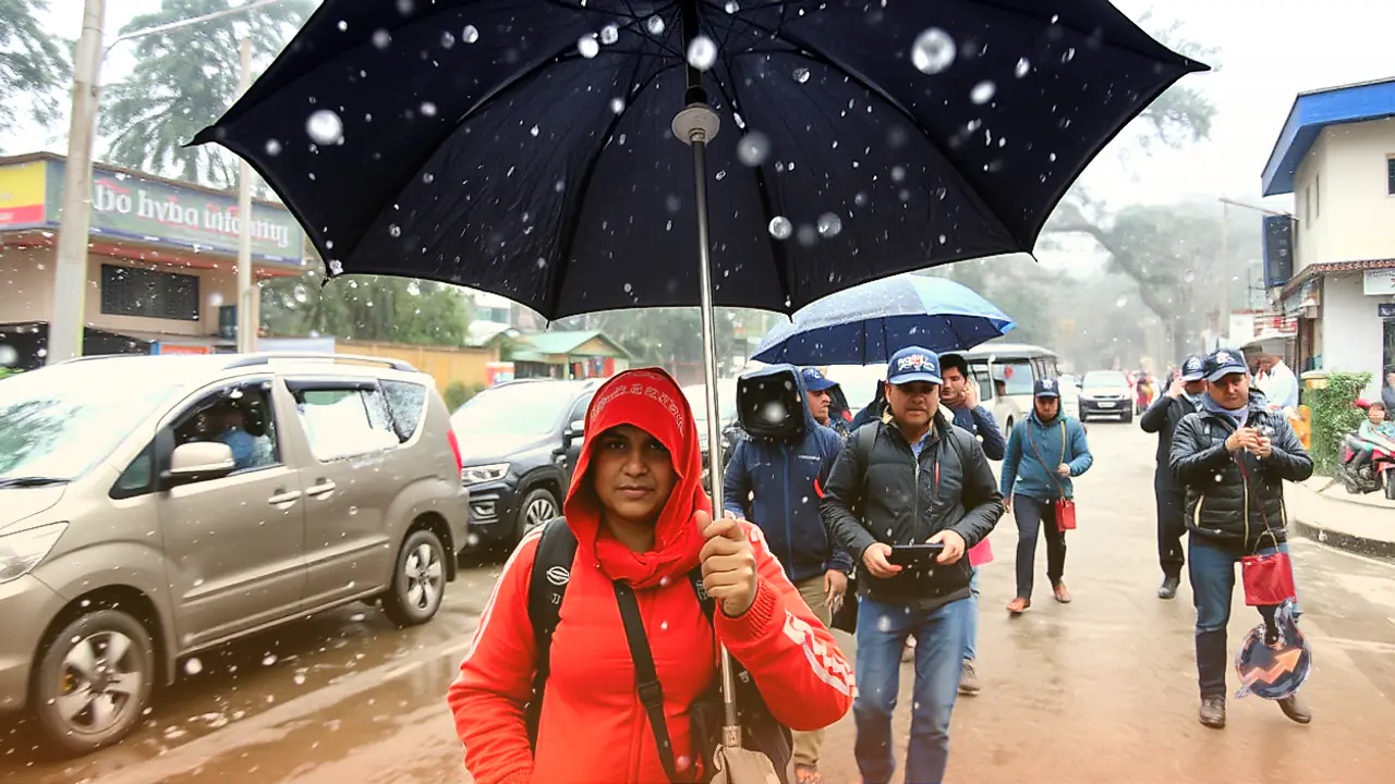
In the state capital of Dehradun, late evening hours are expected to see a sharp breeze followed by spells of light drizzle, likely slowing vehicular movement during peak commute times. Meanwhile, in Haridwar, heavy overcast skies will restrict daytime solar heating, leading to a marked dip in daytime mercury and ending recent spells of humid weather, while necessitating warmer garments during early morning and late evening hours.
Mercury Plummets Across Nainital, Haldwani, and Udham Singh Nagar Plains
Haldwani, serving as the gateway to Kumaon, along with the industrial and agricultural belts of Udham Singh Nagar, woke up beneath dense cloud cover. The ripple effects of highland weather alerts are distinctly visible across these lower settlements, where early mornings and evenings have turned briskly cool. Agricultural tracts around Pantnagar and Rudrapur are experiencing brisk cold winds following scattered rain, prompting residents to unpack light woolens.
Up in the hilly lake basin of Nainital, spells of light to moderate rainfall have caused daytime highs to slide substantially. The descent of cold downdrafts from surrounding ridges toward nearby plains is causing an abrupt thermal drop, changing everyday routines and signaling the arrival of early winter conditions across the Terai belt.
Pilgrim Corridors in Chamoli, Rudraprayag, and Tehri Face Severe Drop in Mercury
Prominent pilgrimage circuits and hilly terrains across Chamoli, Rudraprayag, and Tehri are anticipated to witness adverse weather conditions setting in from the late evening of 15 October. Himalayan peaks rising beyond 3500 to 3800 meters within these districts are expected to receive steady snow cover. The combined effect of alpine snowfall and valley rain showers is set to drive temperatures sharply lower across these hill districts.
The weather activity will linger over higher reaches of Chamoli on 17 and 18 October, with intermittent light precipitation and localized snow flurries anticipated. This prolonged damp spell will entrench cold weather patterns across the Garhwal hills, requiring local residents, traders, and visiting pilgrims to adopt cold-weather precautions.
Hail Warning for Pithoragarh, Bageshwar, and Almora Alongside Safety Advisory
Frontier districts including Pithoragarh, Bageshwar, and Almora remain on high alert for convective thunderstorms, lightning discharges, and localized hailstorms. The prospect of strong wind gusts coupled with hail presents an immediate challenge to standing crops and horticultural orchards across mid-altitude valleys.
Addressing the evolving weather situation, Dr. AS Nain, an agricultural meteorologist based in Pantnagar, emphasized the need for travellers and tourists navigating mountain highways to exercise elevated caution. Dr. AS Nain highlighted that fresh snowfall on higher mountain passes combined with rain-soaked asphalt can cause severe road slipperiness, elevating the risk of skidding and traffic interruptions. Authorities have urged residents and visitors to closely track administrative advisories and updated meteorological bulletins. Atmospheric conditions across the entire state are expected to clear into dry weather from 19 and 20 October.