
















For centuries, world maps have shown Africa far smaller than it actually is, and that picture is about to change. On Friday, the United Nations General Assembly threw its support behind a new map projection that renders the African continent much closer to its true size.
An Overwhelming Vote, One Lone Objector
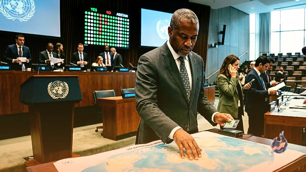
Togo brought the resolution to the General Assembly floor, and it drew firm backing from fellow African Union member states. When the vote was counted, 164 countries stood in favour, while the United States was the only country that opposed it. Serbia, Estonia, Georgia, Lithuania, Moldova and Ukraine stayed away from the vote altogether. The result itself shows just how effective the years-long push by African nations turned out to be.
Swapping Out Mercator for Equal Earth
The UN has urged governments and institutions worldwide to move away from the centuries-old Mercator projection and toward the Equal Earth projection instead. The Mercator map has been in common use since the 16th century, but geography experts and the organisations behind this campaign have long argued that it fails to depict the true size of many parts of the planet. The newer projection places continents much closer to their actual proportions, and nowhere is that difference more visible than in the case of Africa and Greenland. If this shift filters down into the maps used in classrooms and the media, it could shape how entire generations understand geography.
The Full Math Behind Africa and Greenland
On the old Mercator map, Greenland and Africa appear almost the same size, even though Africa's actual area is roughly 14 times larger than Greenland's. The Equal Earth projection depicts Africa much closer to its real proportion, and supporters of the switch argue it will give people a far more accurate sense of how the different parts of the world truly compare in scale. That single statistic has been at the heart of African nations' complaint for decades.
Togo's Minister: 'Maps Shape How We Think'
Just before the vote, Togo's Foreign Minister Robert Dussey underlined why maps matter so much. He said,
He went on to add that maps also guide education, mould people's imagination, and influence how societies think collectively. That is precisely why Togo itself put the resolution before the General Assembly, and why so many African Union countries rallied behind it."Maps shape our understanding of the world."
France: 'A Small Step, But the Right Direction'
Many countries welcomed the UN's stance after the vote and called for wider adoption of the Equal Earth projection. France's Foreign Minister Jean-Noël Barrot posted on X after the vote, writing,
He added, however, that correcting a depiction that misrepresents the world is in itself a step toward the truth."Changing a map obviously doesn't change the world."
Why the Mercator Map Was Always Controversial
The projection itself is the work of Flemish cartographer Gerardus Mercator, created with the goal of helping European sailors navigate the seas. The trouble is that flattening the earth's round surface onto a flat map inflates the size of regions near the poles. That is why regions like North America and Greenland appear blown up in scale on the map, while continents closer to the equator, such as Africa and South America, look comparatively shrunken.
Will the Old Map Disappear Entirely?
The UN has also made clear that Friday's resolution does not ban the Mercator projection, nor does it order any country or institution to stop using it. Its sole purpose is to encourage governments and institutions to consider adopting the Equal Earth projection, meaning older maps can still be used wherever they are needed. Overall, the move is being seen as a major win for African nations and the campaign groups that have long fought to have Africa's true geographic scale reflected accurately on the world's maps.