























The state government of Bihar has initiated a monumental and far-reaching administrative overhaul aimed at strengthening and bringing greater transparency to the three-tier Panchayati Raj system. Across the entire state, all existing Gram Panchayats are set to undergo a fresh process of delimitation, with the revenue village now serving as the fundamental primary unit for this restructuring. According to the newly formulated guidelines issued by the Panchayati Raj Department, the official identity and nomenclature of any given panchayat will henceforth be strictly determined by the name of the most populous village falling within its designated jurisdiction. Manoj Kumar, the secretary of the concerned department, officially rolled out the notification regarding this massive administrative shift on Monday. The direct implication of this sweeping directive is that in the coming months, thousands of village councils across Bihar will experience a complete transformation in their geographical boundaries, the location of their administrative headquarters, and their official titles. This ambitious undertaking is largely viewed as a significant attempt to make grassroots governance much more rational, balanced, and accessible to the rural populace, ensuring that government schemes reach the most deserving citizens directly.
Census 2011 to Serve as the Foundation for Delimitation
To ensure maximum accuracy and unquestionable authenticity in this massive administrative exercise, the state administration has mandated that the population data collected during the 2011 national census will serve as the exclusive baseline. The newly published notification explicitly states that the entire roadmap for redefining and redrawing the borders of Gram Panchayats will revolve completely around the demographic statistics of 2011. Recognizing the high sensitivity of redrawing electoral boundaries, the state government has placed this entire operation under the direct supervision and strict guidelines of the State Election Commission to prevent any administrative or political errors. The District Magistrates of all districts across the state have been entrusted with the crucial responsibility of officially declaring the newly demarcated Gram Panchayat areas for every single block falling under their respective jurisdictions. Furthermore, the government’s vision extends beyond just the village level; it has simultaneously issued separate, detailed notifications to carry out the delimitation exercise for Zila Parishad constituencies, Panchayat Samiti territories, and individual ward member zones, indicating a top-to-bottom reset of the entire local self-government architecture.
Most Populous Villages to Secure Headquarters Status
A highly transparent and purely demographic criterion has been adopted to decide where the center of local power will reside under the new system. Whenever a newly demarcated panchayat territory encompasses multiple villages, the primary administrative office or the headquarters of that panchayat will mandatorily be established in the specific village that boasts the highest total population. Not only will the headquarters be located there, but the entire Gram Panchayat will also be officially christened after that most populated village, giving the largest settlement its due administrative weight. However, in a significant move geared toward social engineering and empowering marginalized communities, the government has woven a special demographic provision into the new rules. If the combined population of Scheduled Castes, Scheduled Tribes, and Other Backward Classes exceeds the 50 percent mark of the total population in a given panchayat area, the standard population rule will be overridden. In such specialized cases, the administrative headquarters will deliberately be set up in the village that has the highest concentration of these specific reserved categories. This progressive caveat ensures that marginalized groups retain a strong voice and physical proximity to the levers of local power, integrating them fully into mainstream governance.
Strict Geographical Mapping and Rules Against Village Division
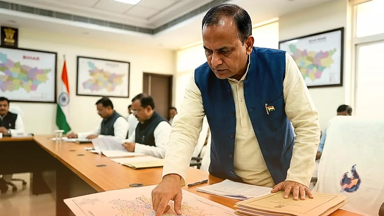
To ensure that the administrative process remains straightforward, logical, and free from local political disputes, the new delimitation rules treat every single block as an independent, self-contained geographical unit. When the authorities begin mapping out the new boundaries for panchayats within any block, the exercise must geographically commence from the North-West direction and systematically proceed towards the South-East direction until the entire block is covered. A cornerstone of this delimitation policy is a strict prohibition against the arbitrary fracturing of local communities. The rules explicitly forbid the division of a single revenue village across two different administrative panchayats. A revenue village can only be geographically split under one extraordinary circumstance: if the population of that solitary village is so overwhelmingly massive that it becomes an administrative necessity to carve out two or more independent panchayats from it. Otherwise, the traditional integrity of the village unit remains fully protected, ensuring that local administrative functions do not suffer from any geographical contradictions.
Natural Landmarks to Define Clear Panchayat Borders
To eliminate any potential confusion or territorial disputes among rural residents regarding the new panchayat zones, the government has issued strict instructions that the new boundaries must be mapped using highly visible natural or physical landmarks. For the precise demarcation of these borders, prominent regional features such as major arterial roads, railway tracks, rivers, large canals, or other massive public infrastructure projects will act as official boundary markers. This practical approach guarantees that every ordinary citizen will easily understand exactly where their panchayat's jurisdiction begins and ends without needing complex survey maps. To safeguard the absolute impartiality of this monumental mapping process, all Divisional Commissioners have been assigned the overarching responsibility of closely monitoring and supervising the delimitation efforts within their respective divisions. Ultimately, this sweeping reform by the Bihar government is not merely a superficial name-changing exercise. It is a calculated, long-term strategic move that will fundamentally reshape administrative boundaries, the formation of wards, and the entire landscape of future panchayat elections, ensuring a more effective, transparent, and democratically balanced system of local governance.