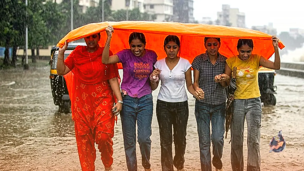




















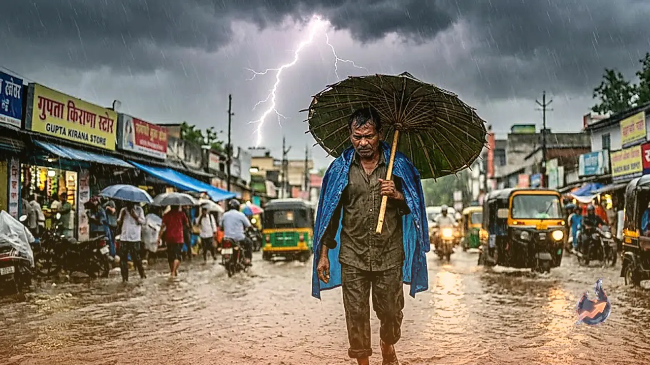

Monsoon activity across Jharkhand is set to intensify significantly over the coming days. On Wednesday, August 12, dense cloud cover enveloped almost the entire state, producing light to moderate rainfall in several districts. This atmospheric instability is expected to sharpen further under the influence of a developing low-pressure system over the Bay of Bengal. The system will drive a spell of heavy precipitation, thunder, and heightened lightning hazards, particularly across the southern and central regions of the state on August 13 and 14. While light showers and widespread cloudiness persist across all 24 districts on August 12, meteorological warnings point toward a sharper escalation starting Thursday.
Districts Facing Downpours and Severe Lightning on August 13 and 14
The movement of the weather system from the Bay of Bengal will expand both the spatial coverage and rainfall volume starting August 13. Heavy rain is projected to concentrate primarily in the southern territory of Jharkhand on August 13, covering districts such as Simdega, West Singhbhum, East Singhbhum, and Seraikela-Kharsawan. On August 14, the scope of intense monsoon activity will widen further. Heavy downpours accompanied by hazardous lightning strikes are anticipated across Ranchi, Khunti, Latehar, Lohardaga, Gumla, Simdega, East Singhbhum, West Singhbhum, and Seraikela-Kharsawan. Residents in these districts have been advised to remain cautious during peak thunderstorm hours.
Extended Monsoon Spell from August 12 to 17 Across Eastern India
The active monsoon phase will remain established across Jharkhand from August 12 through August 17. Within this period, the spell between August 13 and August 15 is projected to mark the peak intensity of precipitation, followed by continuing light to moderate rainfall in subsequent days. Across the broader eastern India region, active monsoon dynamics are forecast to hold firm between August 11 and August 16. On August 12, cloudiness covers all 24 districts of Jharkhand with localized rain, though the main heavy rainfall alert is focused on August 13 and 14. Regional risks of squally winds reaching speeds of 40 to 50 km/h, alongside lightning and thunder, remain active in southern and central pockets.
Cooler Temperatures, Pleasant Climate, and Weather Stats in Ranchi
Continuous rainfall and steady cloud cover have brought a refreshing temperature drop to the elevated and forested districts of the state. Regions including Ranchi, Khunti, Gumla, Simdega, and West Singhbhum are enjoying pleasant atmospheric conditions, providing relief from previous muggy weather. According to real-time observations in Ranchi, the air temperature was recorded at approximately 23 degrees Celsius, paired with a relative humidity level of 94 percent. This high moisture content and reduced thermal level have created a distinctly cooler ambience across the central plateau.
Rainfall Statistics Recorded Over the Last 24 Hours
Monsoonal showers were logged across multiple districts on Tuesday, August 11. Official measurements indicate that Hazaribagh recorded the highest rainfall in the state over the 24-hour period at 17 mm. Other districts also recorded precipitation, including Jamshedpur with 8 mm, Bokaro with 5 mm, Ranchi with 3 mm, Chaibasa with 3 mm, and Latehar with 2 mm. These measurements demonstrate steady moisture accumulation across central and southern Jharkhand ahead of the main low-pressure surge.
48-Hour Atmospheric Safety Alert and Positive AQI Improvements
Special vigilance is directed toward the southern districts of Simdega, West Singhbhum, East Singhbhum, and Seraikela-Kharsawan over the next 48 hours due to elevated lightning risks. In addition to severe electrical storms, wind gusts of 40 to 50 km/h are expected to accompany heavy downpours in isolated spots. On the environmental front, ongoing precipitation and wind turbulence have contributed to positive air quality outcomes. Rain washouts have settled suspended particulate matter, maintaining Air Quality Index (AQI) levels within satisfactory to moderate bands across major Jharkhand cities. Safety guidelines emphasize staying indoors during electrical activity and avoiding open grounds, tall trees, and metallic structures.