




















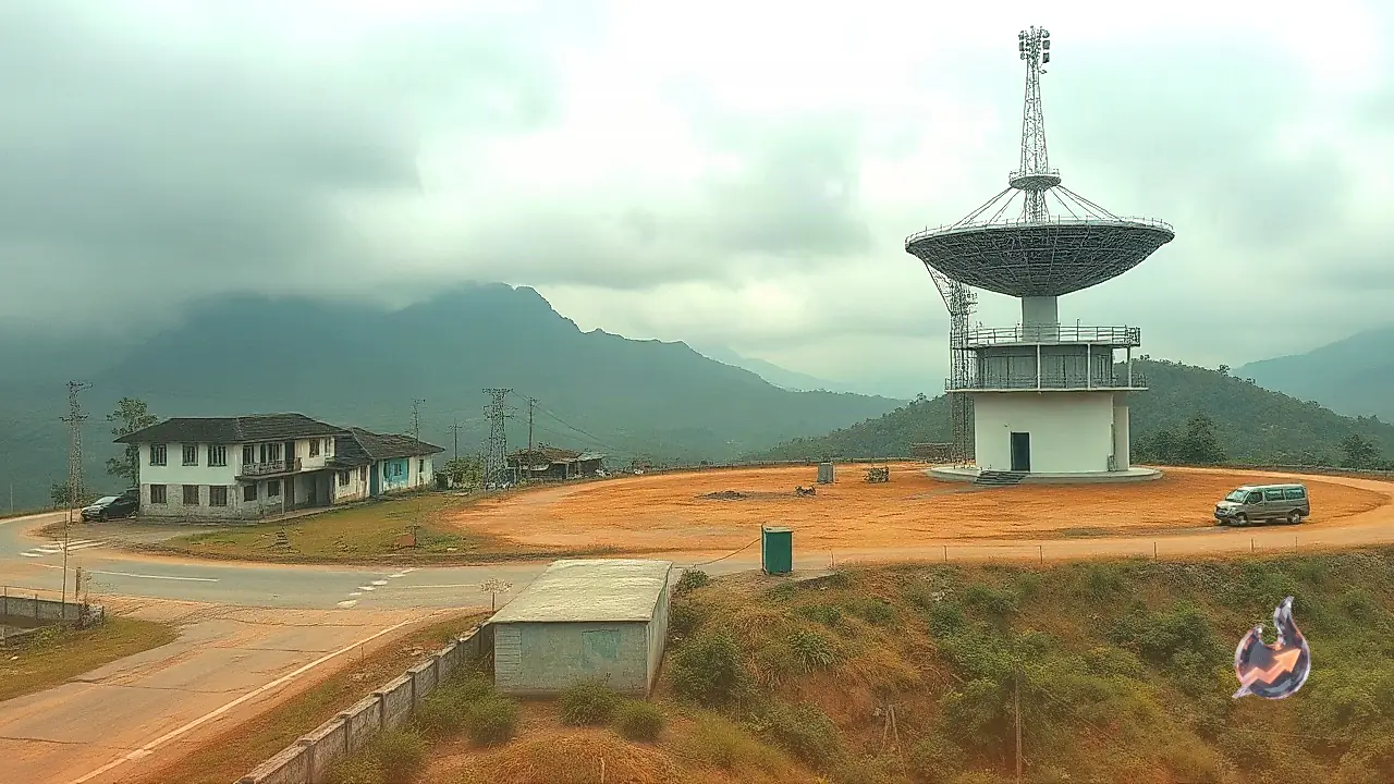

The strategic project to install a Doppler Weather Radar in Meghalaya’s East Khasi Hills district has run into complications due to disputes surrounding land ownership at the chosen site. To keep the project moving forward without prolonged delays, local administration has initiated a dual-approach strategy to resolve the location issues.
Dual Approach to Overcome Location Roadblocks
During a high-level review meeting, East Khasi Hills Deputy Commissioner Abhilash Baranwal discussed the project status alongside India Meteorological Department (IMD) officials and Shanborlang Warjri, Chief Executive Officer of the District Disaster Management Authority (DDMA). To ensure that infrastructure deployment is not stalled indefinitely, the administration requested the IMD to launch a parallel search for a suitable alternative site.
Simultaneously, the Revenue Branch within the Deputy Commissioner’s office has been assigned to investigate the legal feasibility of acquiring the initially selected plot despite the existing property ownership complications. This two-pronged effort aims to secure an operational site swiftly so that installation work can proceed without further hindrance.
Boosting Weather Monitoring and Early Warning Systems
Once operational, the Doppler Weather Radar is slated to significantly upgrade meteorological capabilities across the Khasi-Jaintia Hills region. The advanced system will provide real-time data, enabling forecasters to deliver more precise and timely weather predictions.
Beyond routine forecasting, the radar will serve as a vital component of the region’s early warning architecture for severe weather hazards. Enhanced tracking capability will allow disaster management agencies to prepare more effectively, mitigating potential impacts on human life and property.
Mitigating Monsoon Vulnerabilities in Meghalaya
High-resolution weather tracking is of immense importance for Meghalaya, a state that routinely experiences torrential rainfall and extreme weather events during the monsoon season. Heavy downpours regularly lead to severe transportation disruptions, landslides, and extensive damage to public and private infrastructure.
By strengthening disaster response mechanisms through modern weather tracking tools, authorities hope to better protect vulnerable communities across the Khasi-Jaintia Hills when severe weather strikes.