


















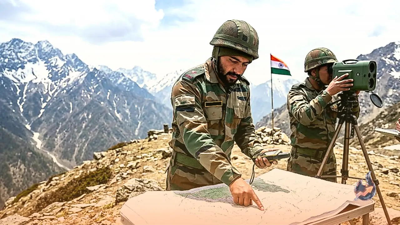

Strategic friction along the border with China in Arunachal Pradesh has flared up once again, drawing renewed attention to sensitive sectors near the frontier. Recent mapping by the Survey of India, which includes several disputed areas close to the McMahon Line, has brought back into focus zones that have long witnessed territorial disagreements between the two nations. Among these locations is a high-altitude tract where the People's Liberation Army has reportedly erected structures. Notably, an advance post of the Indian Army existed in this very sector prior to the 1962 war, making current activities there a matter of broader geopolitical concern rather than isolated construction.
Identifying Sensitive Friction Points
Defense assessments conducted approximately a decade ago pinpointed six disputed and four highly sensitive zones along the Arunachal frontier. Security forces in these areas have remained on high alert to monitor Chinese maneuvers and counter any potential tactical pressure. The six disputed sectors mapped out include Asaphila, Longju, Bisa, and Maja in the Upper Subansiri region, alongside Tulung La and Yangtse in the Tawang sector. These locations hold immense strategic value because the Arunachal border represents one of the most delicate segments of bilateral relations, where Chinese infrastructure development, troop movements, and permanent presence pose ongoing security challenges.
Clear Mapping and Heightened Preparedness
The explicit incorporation of these sensitive zones into official maps comes at a time when India is steadily bolstering surveillance, infrastructure, and combat readiness along its eastern frontier. This move signals a firmer stance by New Delhi regarding its territorial claims and border oversight in disputed pockets. The strategic tug-of-war along the McMahon Line extends far beyond cartography; tangible military infrastructure, roads leading up to the border, and robust monitoring systems will serve as crucial factors in shaping the future balance of power along the frontier.
A Firm Diplomatic Rebuttal to Beijing
In response to repeated attempts by China to rename locations within Arunachal Pradesh, India officially incorporated the standardized names of 27 local places and their geographic features into its official map. An official statement noted that formally marking these sites on the Survey of India map aims to facilitate precise identification and foster greater public awareness. India has consistently rejected Beijing's renaming tactics as absurd and senseless, asserting firmly that such maneuvers cannot alter the unshakeable reality that Arunachal Pradesh remains an integral part of the nation.
Inclusion of Longju and Strategic Passes
Among the 27 locations added to India's official map is Longju, situated near the Line of Actual Control. This area was the site of early clashes between Indian and Chinese forces back in 1959 when Chinese troops first entered the locality. The official release also confirmed the inclusion of Maja village near Longju in the Upper Subansiri district, alongside Bisa village and strategically vital mountain passes such as Djo La, Riza La, and Pukur La.
Historical Memorials and Outposts
The high-altitude Tag La pass, which witnessed initial skirmishes during the 1962 conflict, has now been formally incorporated into the official map. Jaypuram, a vital logistics hub in the Changlang district acting as a gateway to the eastern border region, has also been added to facilitate troop movements toward the Myanmar border. The comprehensive list further covers Shambhu Sarovar, Bada Kundun, Chhota Kundun, Dhan Badi, Preetnagar, Teritnagar, Ramnagar Jaswantgarh along the Tawang Road, Sagar, Padma, Jyotinagar, and Baisakhi villages. It also highlights the Sher-e-Thapa memorial dedicated to 1962 war hero Trilok Singh Thapa, Chhota Ropuk, Bada Ropuk, Shivaji Nagar, Sunpura, Kamlang Nagar near the Kamlang Sanctuary, and a local Buddhist temple.
Dismissal of Fabricated Place Names
New Delhi has continuously dismissed Beijing's persistent efforts to assign fabricated names to Indian territories, maintaining that such groundless narratives undermine efforts to normalize bilateral ties. The Chinese Ministry of Civil Affairs had previously issued batches of standardized names for locations in what it calls Zangnan, starting with six places in 2017, followed by 15 in 2021 and another 11 locations in 2023.