
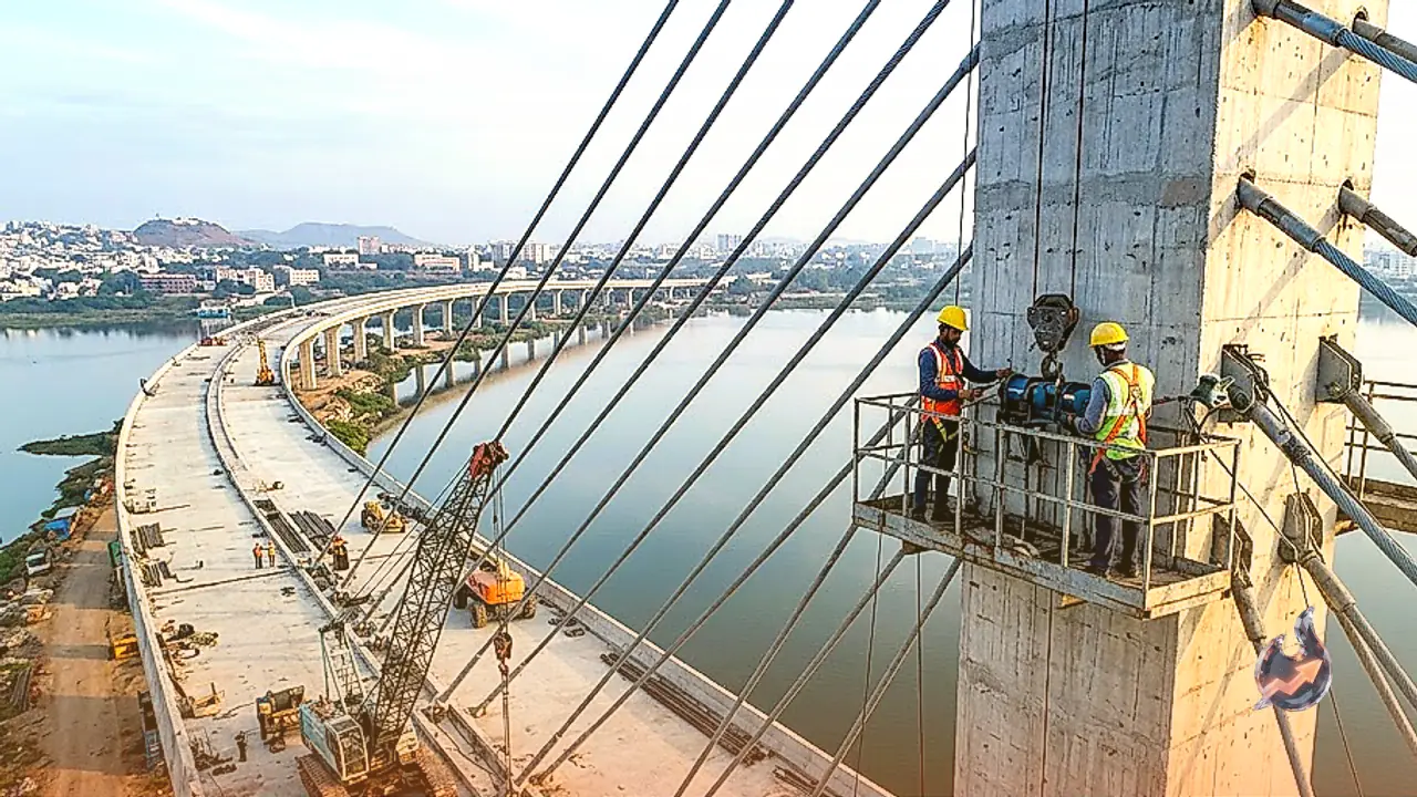

















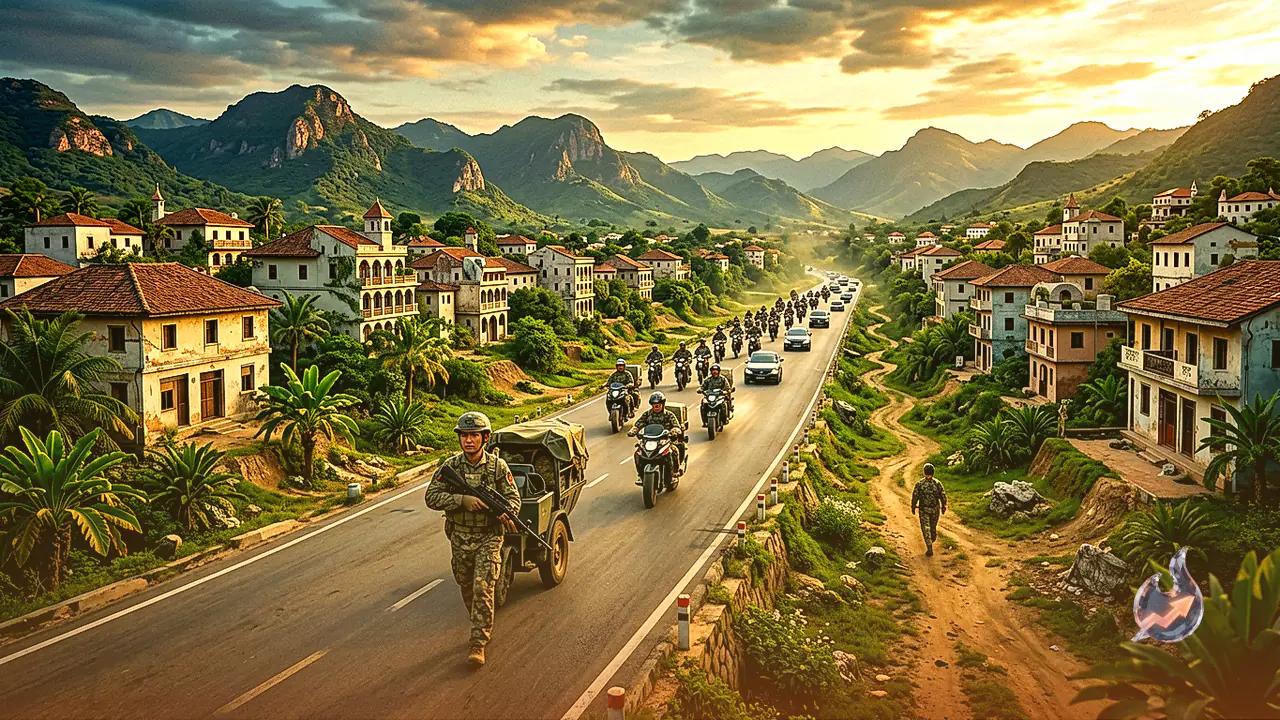

To significantly enhance military mobility across the rugged and sensitive borders of Arunachal Pradesh, the Border Roads Organisation has laid out a comprehensive blueprint. A 95.348-kilometer-long all-weather greenfield road is set to be constructed from Huri in the Kurung Kumey district to Taksing in Upper Subansiri. The Border Roads Organisation has initiated the feasibility study and detailed project report preparation processes for this high-priority route under its ambitious Project Arunank.
Transforming Defense Posture Along the Border
This upcoming greenfield alignment will be built to National Highways and Infrastructure Development Corporation standards, enabling heavy military vehicles, artillery, and logistics supplies to reach the forward posts along the Line of Actual Control in minimal time. According to strategic experts, this infrastructure development will effectively transition India's defensive posture into an assertive capability along the Chinese frontier. Details regarding the proposed 95.348-kilometer highway under Project Arunank highlight its potential to act as a gamechanger in border logistics.
Geographical Significance of Taksing
The importance of this road extends beyond merely connecting remote areas of Arunachal Pradesh; it lies heavily on the geographical positioning of Taksing and its role in India's broader network of border roads. Taksing is located in the Upper Subansiri district, more than 200 kilometers away from the district headquarters of Daporijo and close to the international border. For a long time, this region remained among the least accessible parts of the state. While road connectivity has reached Taksing in recent years, navigating the terrain continues to remain difficult.
Proximity to the Tibet Region
The existing road connecting Nacho and Taksing is narrow and poorly maintained, with locals noting that certain stretches cannot accommodate two vehicles passing side by side. This constraint frequently hampers troop movements and supply chains. Consequently, the proposed Huri-Taksing alignment is crucial, as a new greenfield route will provide an alternative pathway to Taksing from the Huri side, establishing an additional arterial corridor near the border. Taksing and its surrounding settlements in Upper Subansiri sit right against China's Tibet region and close to the Line of Actual Control.
Enabling Rapid Deployment and Logistics
A reliable road network dictates the speed of troop deployments, the volume of supplies that can be hauled, and the frequency with which essential logistics, engineering support, and medical aid can reach forward bases. For the armed forces, this translates to improved transport efficiency for heavy vehicles, fuel, and equipment. A military official noted that having multiple operational routes during an emergency is just as critical as the quality of the roadway itself.
Recent Developments and Leadership Visits
This proposed infrastructure push comes at a time when Taksing has drawn increased attention regarding patrols and access to traditional frontier sectors. Earlier in February, during a visit to Taksing, Arunachal Pradesh Chief Minister Pema Khandu inaugurated and announced several developmental initiatives spanning the Taksing, Nacho, Kodukha, and Limeking sectors to bolster regional connectivity.