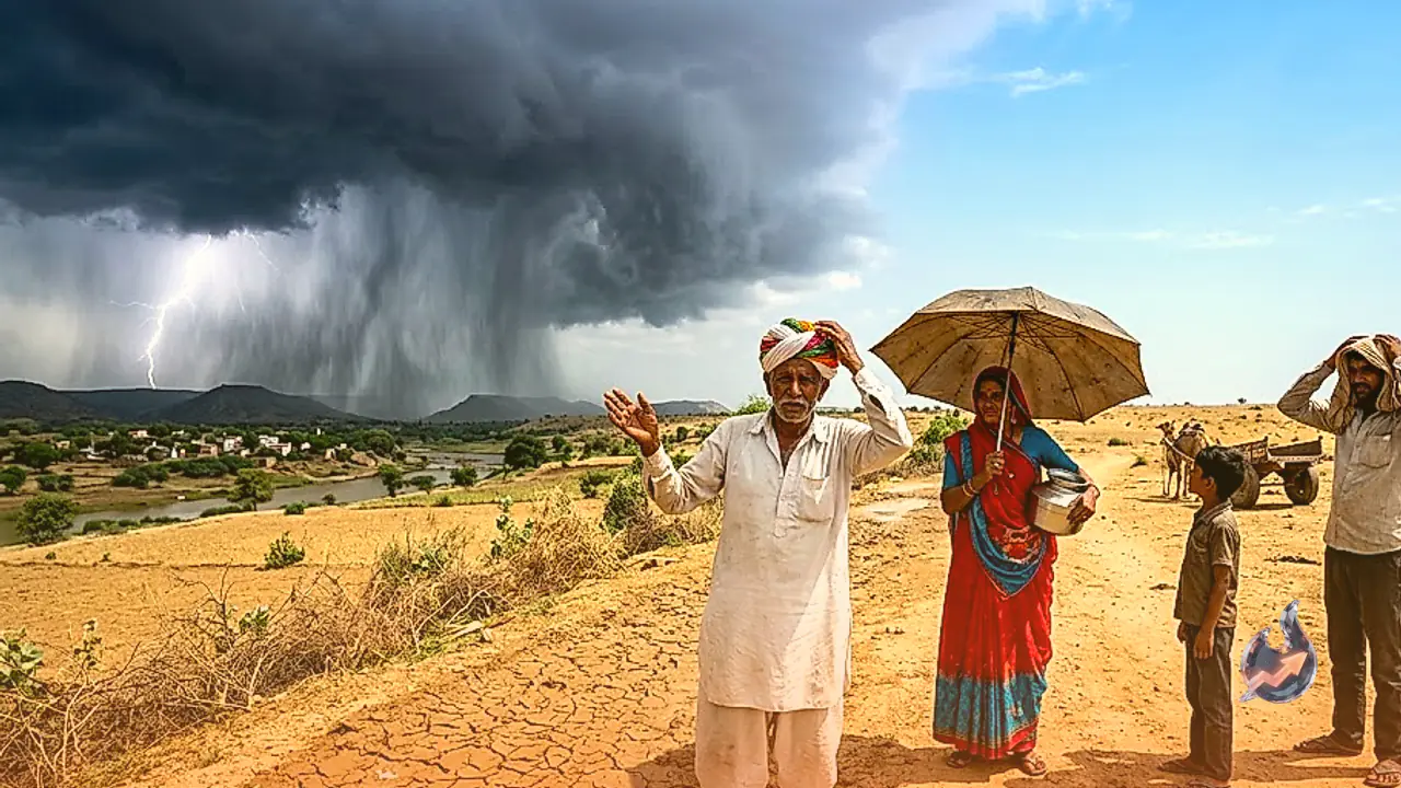

























The retreat of the southwest monsoon has officially commenced across the western territories of Rajasthan, though deep atmospheric moisture continues to unleash heavy to extremely heavy rainfall over the southern and southeastern pockets of the desert state. While arid winds are beginning to establish themselves over the far western border areas, intense cloud formations have severely disrupted daily activities across multiple southern districts. Atmospheric conditions are turning steadily favorable for the monsoon system to withdraw from additional regions over the next three to four days, even as parts of the Kota and Udaipur divisions brace for scattered rain accompanied by thunder and lightning on September 20.
Monsoon Withdrawal Line Advances Across Western Borders
According to the regional meteorological center, the withdrawal line of the southwest monsoon currently cuts across Ramgarh, Mohangarh, Phalodi, and Khajuwala. The climatological normal for monsoon departure from western Rajasthan is September 17, placing this year's seasonal retreat at a slight delay of approximately two days. Over the coming three to four days, the broader synoptic setup is expected to facilitate a progressive withdrawal from further segments of Rajasthan.
The prevailing rainfall over the eastern and southeastern belts is being sustained by two interacting weather mechanisms. An upper atmospheric cyclonic circulation remains stationed over western Madhya Pradesh and adjoining eastern Rajasthan. Concurrently, a prominent trough extends from northeastern Uttar Pradesh down to the northeastern Arabian Sea. This combined configuration continues to funnel moisture into the southern rim of the state, causing prolonged wet conditions precisely as the western parts transition to dry weather.
Ghatol Records 207 mm as Southern Districts Face Severe Downpours
Precipitation measurements over the past 24 hours indicate that light to exceptionally heavy downpours lashed several southern districts. Ghatol in Banswara emerged as the wettest location, recording 207 mm of rainfall. Significant accumulations were also logged elsewhere in Banswara district, including 173 mm at Bhungra, 148 mm at Loharia, and 124 mm at Garhi, resulting in localized inundation and swelling seasonal drains.
In adjoining Pratapgarh, torrential spells created challenging conditions on the ground. Peepalkhoont registered 190 mm of rainfall, while Pratapgarh town and Gadola recorded 103 mm and 101 mm, respectively. Manohar Thana in Jhalawar measured 131 mm, and Galiakot in Dungarpur logged 101 mm. Outside the southern cluster, Kolayat in Bikaner received 70 mm. The acute downpours across Banswara, Pratapgarh, Jhalawar, and Dungarpur have substantially elevated local reservoirs. In response to rising inflows, 9 gates of the Navnera Barrage have been opened to discharge approximately 1.02 lakh cusecs of water downstream.
Yellow Alert Issued for Eight Districts Amid Gusty Winds
In response to lingering atmospheric instability, a yellow alert has been activated for September 20 covering eight districts: Banswara, Baran, Dungarpur, Jhalawar, Pratapgarh, Rajsamand, Salumber, and Udaipur. These locations are expected to witness convective storms with lightning strikes and gusty surface winds reaching velocities of 30 to 40 km/h.
Light to moderate precipitation is anticipated across scattered localities within the Kota and Udaipur divisions. Forecasters note that this activity will remain localized rather than widespread throughout entire divisions. Farmers tending to crops, open-air daily wage workers, and livestock keepers have been advised to exercise prudence during active thunderstorm intervals and seek shelter in sturdy structures away from trees and elevated metallic installations.
Dry Conditions Settle Over Jaipur and 13 Western Districts
In sharp contrast to the unsettled south, northern and central Rajasthan are witnessing relatively quiet meteorological conditions. The state capital Jaipur has no specialized weather warnings for September 20. Similarly, no advisories are in place for Ajmer, Alwar, Bharatpur, Dausa, Dholpur, Karauli, Sawai Madhopur, Sikar, Tonk, and Jhunjhunu, where dry to partly cloudy skies prevail.
Across all 13 districts of western Rajasthan, predominantly dry weather is forecast to persist. Arid landscapes in Barmer, Jaisalmer, Bikaner, Jodhpur, Nagaur, Pali, and Sri Ganganagar are seeing minimal cloud cover and diminished relative humidity. Clearer skies in these areas have brought steady daytime sunshine, marking the classic physical transition toward post-monsoon weather patterns.
Sharp Reduction in Activity from September 21 and Bay of Bengal Watch
Starting September 21, rain activity is slated to diminish sharply across nearly all sectors of Rajasthan, allowing dry atmospheric conditions to dominate. The ongoing shower activity over eastern and southeastern pockets will largely dissipate after September 20, clearing the path for further monsoon withdrawal.
Long-range meteorological models suggest the potential development of a fresh synoptic system over the Bay of Bengal around September 22 to 24. However, its trajectory, intensity, and prospective influence over Rajasthan remain unconfirmed at this juncture. Consequently, forecasts spanning September 22 through 26 are currently treated as extended indicators subject to ongoing observation. Unless that distant disturbance organizes and charts an inland track toward northwestern India, dry post-monsoon conditions will progressively entrench across the entire state.