




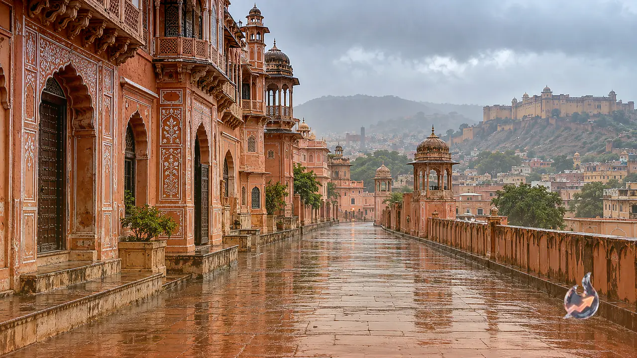
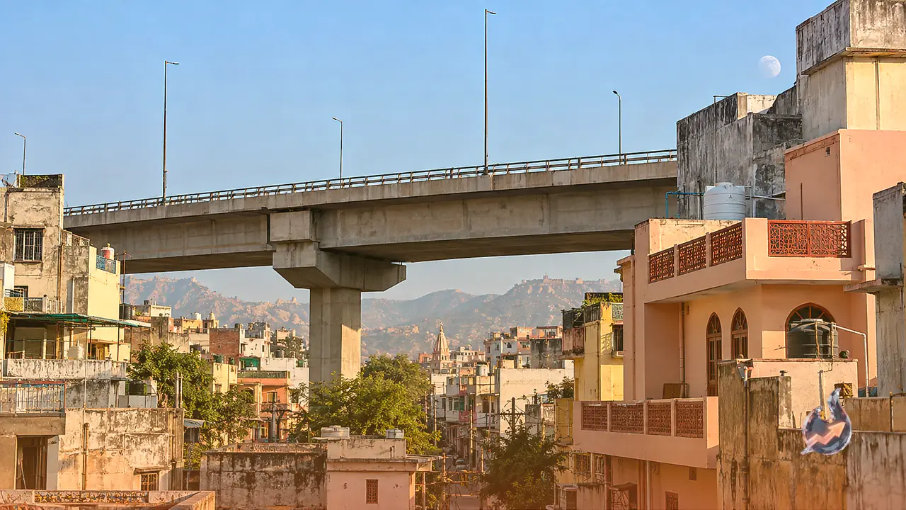















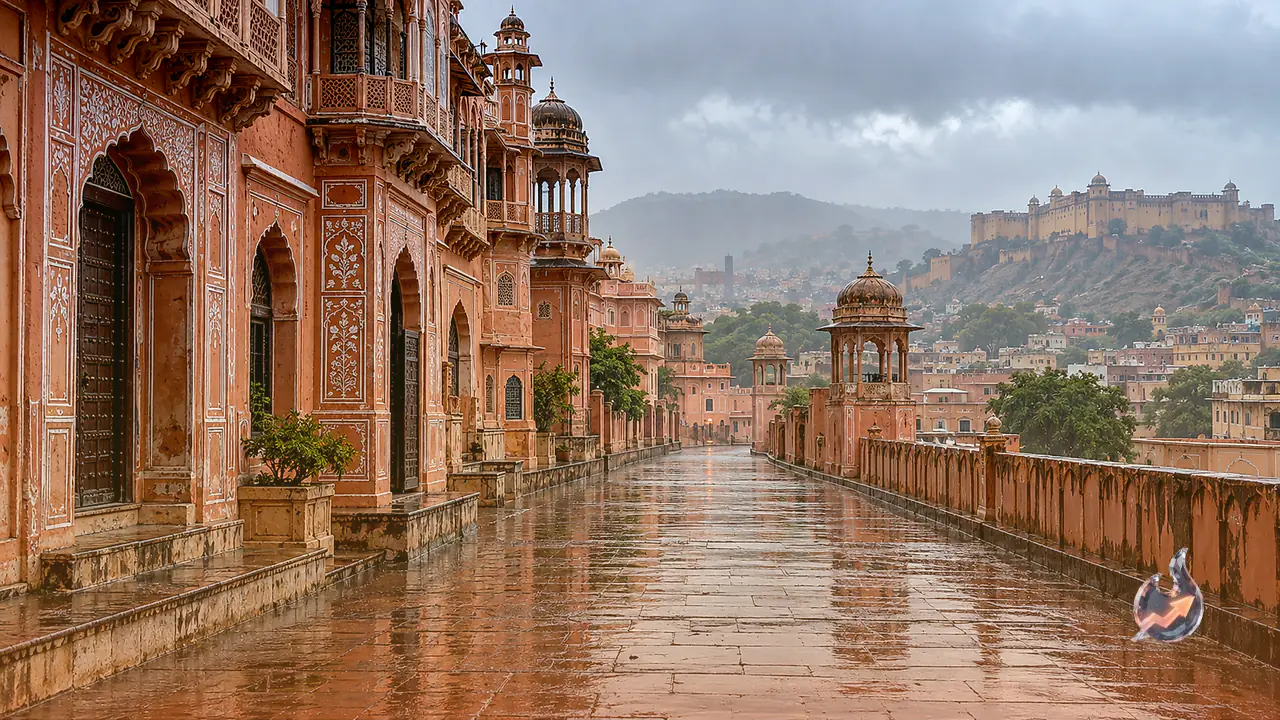

The weather conditions across Rajasthan have taken a notable turn as several regions experience a continuous spell of rainfall. In the capital city of Jaipur and across various parts of eastern Rajasthan, heavy cloud cover has taken over, accompanied by steady light to moderate showers. Meteorological officials note that this shift is not a localized event, but rather the direct result of a broader atmospheric disturbance affecting the region.
Impact of Cyclone Arnab and Western Disturbance
According to weather forecasters, the current climatic shift in the state is being propelled by two major simultaneous forces. The primary drivers are the atmospheric footprint of ‘Arnab’ cyclone alongside an active Western Disturbance. The convergence of these two weather systems has significantly increased moisture levels across the atmosphere, blanketing large parts of eastern Rajasthan in thick clouds and triggering widespread precipitation.
Showers Sweep Across Jaipur, Bharatpur and Kota Divisions
The brunt of this weather change is most prominently visible across three major administrative divisions of eastern Rajasthan, namely Jaipur, Bharatpur and Kota. Within Jaipur proper, most neighborhoods have witnessed a persistent spell ranging from light drizzles to moderate downpours. While some sectors experienced mere sprinkles, other localities received slightly heavier showers. This abrupt transition has influenced daily routines, requiring residents to adapt their regular schedules to the damp conditions.
Wet Spell Expected to Continue for 48 Hours
The latest projections released by the meteorological department indicate that the wet spell will not clear up immediately. The combined impact of these weather systems is forecasted to linger across the state for the next 48 hours. Consequently, residents across multiple districts should anticipate continued overcast skies and intermittent rainfall over the coming two days. Weather authorities are keeping a close watch on the trajectory and persistence of these atmospheric changes.
Skies to Clear and Weather to Turn Dry After November 1
While cloudy skies and wet weather remain the dominant theme for now, the spell is temporary. Department forecasts suggest that once the upcoming 48-hour window concludes, weather patterns will stabilize significantly. Starting from November 1, skies across the state are expected to clear up completely, bringing back dry weather conditions. The advent of November will likely mark a return to stable atmospheric conditions across eastern Rajasthan.