



















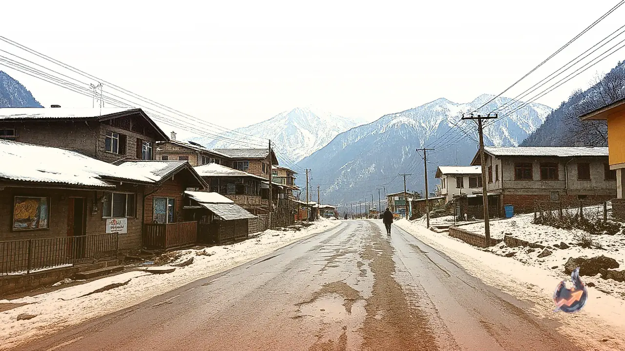

A noticeable weather transition is on the horizon for Himachal Pradesh as atmospheric systems over northern India begin to interact. Influence from a cyclonic storm originating in the Bay of Bengal, coupled with active weather circulation over northern Haryana, is set to trigger thunderstorms, rain, and snowfall across parts of the hill state. While the past 24 hours remained largely dry across most regions, Narkanda Peak in Shimla already witnessed the season's first light snowfall on Sunday. A fresh western disturbance is scheduled to become active over northwest India starting the night of October 27, 2026, prompting a yellow alert for adverse weather, precipitation, and snowfall on October 29 and 30.
Current Temperature Trends and Freezing Nights in Kukumseri
According to the midday bulletin issued by the Meteorological Centre in Shimla on October 26, minimum temperatures remained largely steady across several locations over the preceding 24 hours, though isolated pockets recorded drops of 2 to 3 degrees Celsius. Minimum temperatures in high-altitude zones ranged between minus 3 and 7 degrees Celsius, while mid-hill sections saw readings between 6 and 13 degrees Celsius, and lower foothill plains recorded 10 to 15 degrees Celsius. For daytime highs, higher elevations registered 10 to 16 degrees, mid-hills stood between 19 and 28 degrees, and plains reached 23 to 31 degrees Celsius. Kukumseri in Lahaul and Spiti recorded the lowest minimum temperature in the state on Monday at minus 2.5 degrees Celsius, while Una charted the highest maximum temperature at 31.4 degrees Celsius.
Dry Spell Until October 28 Before Systems Collide
Conditions are expected to remain clear and sunny across Himachal Pradesh from October 26 through October 28. Monday brought clear skies and ample sunshine statewide, and temperatures across both daytime maximums and night minimums are anticipated to rise by 2 to 3 degrees Celsius in most parts over the next 3 to 4 days. However, the respite will be temporary as the cyclonic system over northern Haryana combines with incoming moisture from the western disturbance to destabilize the atmosphere from October 29 onward.
District-Wise Weather Forecast and Alert Coverage
Light to moderate rain and snowfall are predicted for scattered areas across the state on October 29 and 30. On October 29, five districts—Una, Bilaspur, Solan, Kinnaur, and Lahaul and Spiti—face no adverse weather warnings, whereas the remaining seven districts are slated for disrupted conditions. On October 30, a specific yellow alert for rainfall and snowfall will remain active across Kangra, Kullu, Mandi, and Shimla, while weather across the rest of Himachal Pradesh is expected to clear up.