




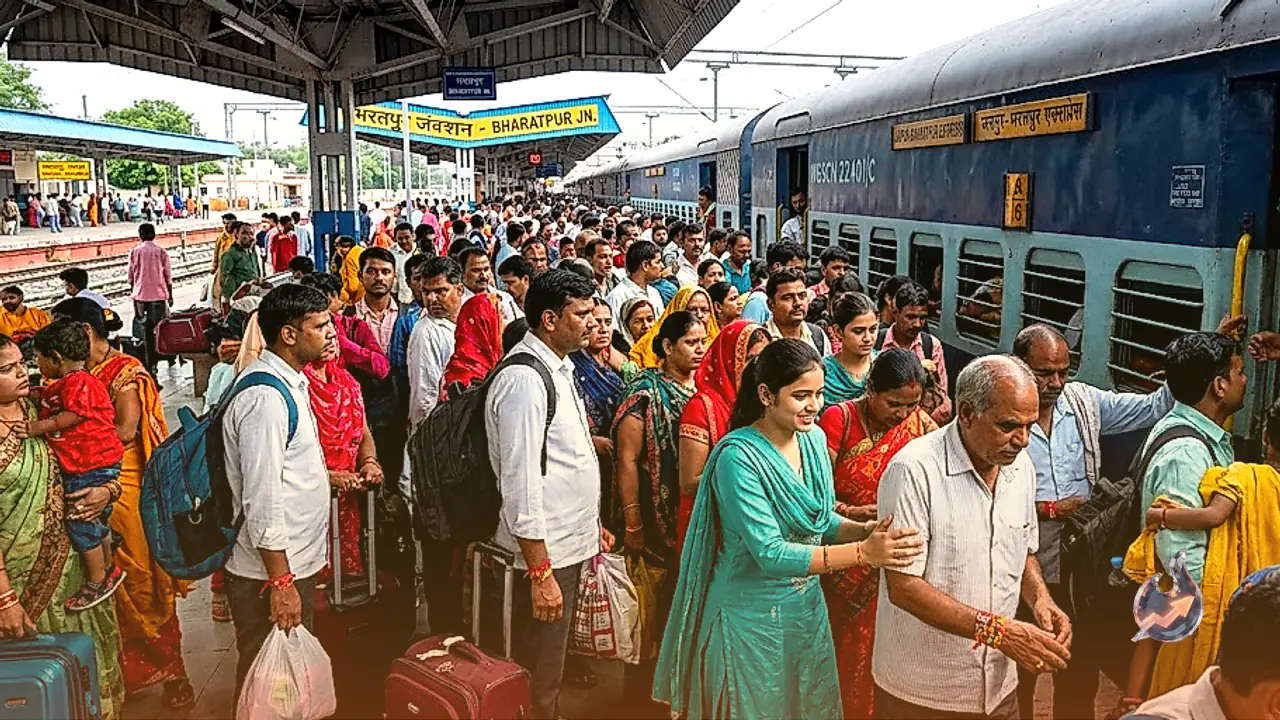















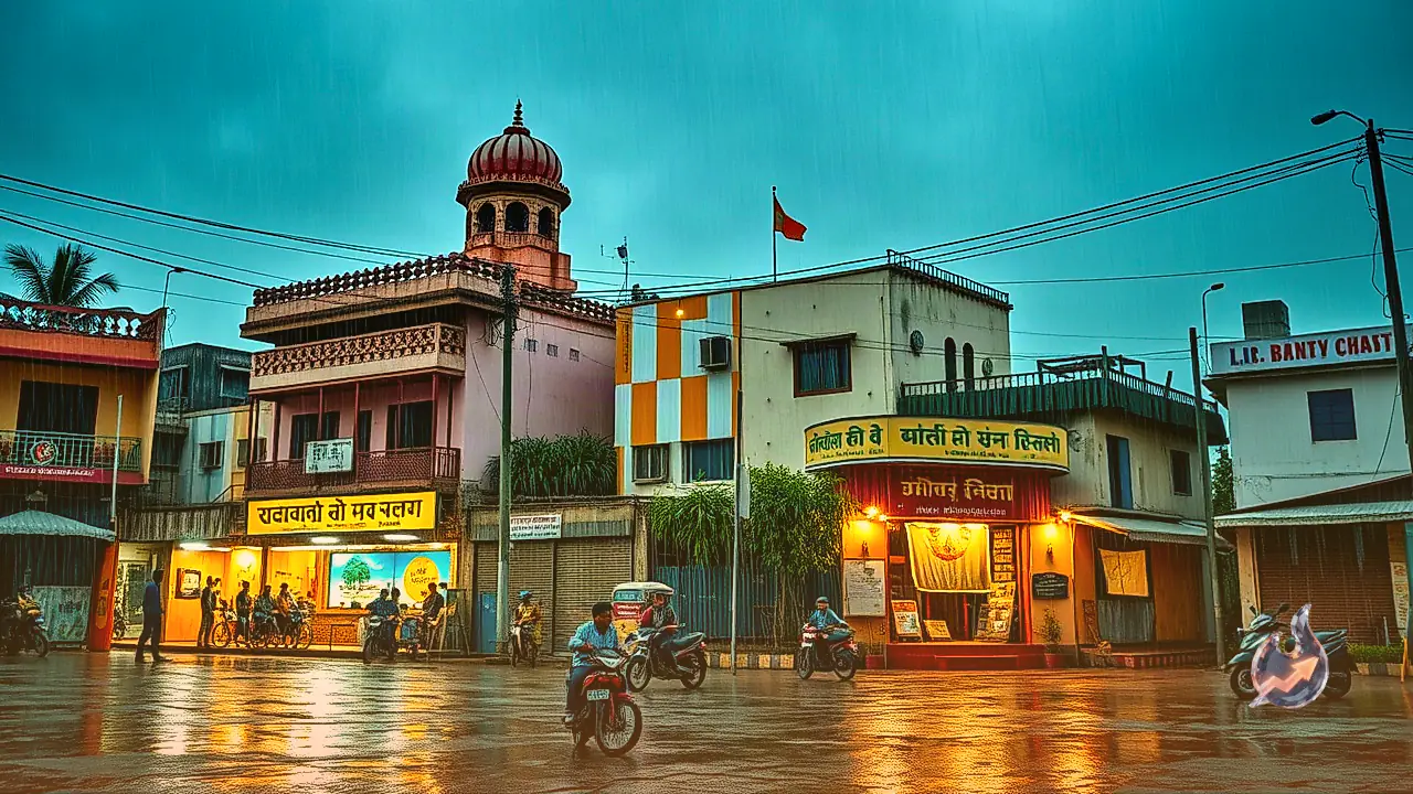

Weather conditions across Rajasthan are set to undergo a noticeable shift during the Raksha Bandhan festival. According to the latest official weather forecast bulletin issued by the India Meteorological Department, clear atmospheric indications suggest a gradual weakening of monsoon activity across the state. Meteorological experts project that starting August 28 and continuing for the next week, most parts of Rajasthan will experience a significant drop in overall rainfall, with predominantly subdued monsoon conditions taking hold over a majority of districts. Nevertheless, on the festive occasion of Raksha Bandhan on August 28, localized atmospheric developments are expected to trigger light to moderate rainfall accompanied by scattered squalls and thunderstorms over isolated pockets of Eastern Rajasthan. In particular, administrative districts falling under Jaipur division, Kota division, and Bharatpur division are likely to observe spell-based showers throughout the day. Subsequently, on August 29, isolated rainfall activity may persist in parts of Eastern Rajasthan, whereas by August 30, rain will become highly sporadic in Eastern Rajasthan while Western Rajasthan will witness largely clear, dry weather.
Raksha Bandhan Wind Alert: Gusts Up to 70 km/h Expected Across Multiple Districts
The weather department has issued comprehensive advisory alerts regarding squally winds and rainfall across several administrative districts for August 28. Prior to the full onset of the monsoon slowdown, strong winds and severe lightning are expected to affect multiple regions across the state. As per the detailed weather bulletin, a heavy rain and storm alert has been sounded for Bharatpur, Jaipur, Jhunjhunu, Sikar, Sawai Madhopur, Churu, Ajmer, Tonk, Bikaner, Bundi, Chittorgarh, Dholpur, and Jaisalmer districts. During this period, localized patches in these specific regions could experience severe dust storms with wind speeds ranging between 60 km/h and 70 km/h. Furthermore, additional warnings for rain and squalls have been issued for Bikaner, Kota, Jaipur, Churu, Ajmer, Udaipur, Jhalawar, Bharatpur, Jaisalmer, Jalore, Shri Ganganagar, Chittorgarh, Hanumangarh, Pali, and Rajsamand districts, where wind speeds could reach 50 km/h to 60 km/h. Authorities have advised residents, festival commuters, and travelers in these districts to take necessary precautionary measures against falling tree branches, temporary overhead structures, and sudden dust raising winds that could disrupt road transport.
Synoptic Weather Systems: Status of Monsoon Trough and Cyclonic Features
Explaining the atmospheric drivers currently governing regional weather, the India Meteorological Department stated that the monsoon trough is presently passing through Amritsar in Punjab, Muzaffarnagar and Shahjahanpur in Uttar Pradesh, and the center of a low pressure area established over south-eastern Uttar Pradesh and its immediate neighborhood. From there, the trough line extends southeastwards through Patna in Bihar and Digha in West Bengal, terminating over the north-eastern Bay of Bengal. Simultaneously, an upper air cyclonic circulation persists over northern Haryana and adjacent territories at an altitude of approximately 0.9 km above mean sea level. Meteorologists noted that the low pressure system stationed over south-eastern Uttar Pradesh continues to directly influence precipitation patterns across Eastern Rajasthan by driving moisture inflow into local cloud formations and keeping atmospheric instability active in regional pockets.
Heavy Rainfall in Jhalawar: Bakani Records 114 mm, Temperature Touches 41.4°C in Shri Ganganagar
Observational data recorded over the preceding 24 hours highlights a sharp contrast in weather parameters between Eastern and Western Rajasthan. Eastern parts recorded moderate to heavy precipitation, with the highest rainfall in the state documented at Bakani in Jhalawar district, which registered 114 mm of rain within 24 hours. The downpour in Bakani resulted in localized waterlogging and rising water levels in regional streams. Conversely, the absence of rainfall in the border districts of Western Rajasthan led to a sharp surge in thermal conditions, with maximum temperatures hovering between 38°C and 41°C. Shri Ganganagar recorded the highest maximum temperature in the state at 41.4°C, which stands 3.5°C above the seasonal normal for the region. The prevailing dry spell coupled with high solar radiation generated oppressive heat and humid weather, with average relative humidity across the state ranging between 41 percent and 91 percent.
Rain Revival Expected in Early September, Dry Spell to Persist in Jodhpur and Bikaner Divisions
Looking at the extended outlook, a resurgence of monsoon showers is anticipated in early September across eastern parts of the state. IMD forecasts indicate that rainfall activity is likely to gather momentum once again between September 4 and September 7 over Eastern Rajasthan. However, during the one-week period starting August 28, weak monsoon conditions will prevail over most districts. Regions comprising Jodhpur division and Bikaner division are expected to witness particularly suppressed rainfall throughout this period. Under the extended range two-week outlook, below-normal cumulative precipitation is predicted for most parts of Rajasthan. Driven by reduced cloud cover and dry atmospheric conditions, maximum temperatures across most districts are expected to remain 2°C to 3°C above normal over the next fortnight, keeping oppressive afternoon heat elevated across regional landscapes.
State Records 15 Percent Rainfall Deficit, IMD Issues Operational Advisory for Farmers
Cumulative seasonal rainfall figures released by the Water Resources Department indicate that Rajasthan has received deficit precipitation so far. Between June 1 and August 26, the state recorded a total rainfall of 291.81 mm against a historical normal benchmark of 344.74 mm for the corresponding period. This translates to an overall seasonal deficit of approximately 15 percent below normal precipitation. The combination of an existing shortfall and the upcoming week of subdued rainfall has heightened concerns among the farming community, particularly regarding the moisture requirements of standing Kharif crops in water-stressed agricultural pockets. Addressing these operational concerns, the India Meteorological Department has issued specific guidelines for agricultural producers. Farmers are strongly advised to plan irrigation schedules, fertilizer applications, weed removal, and plant protection measures strictly in accordance with localized daily weather forecasts and rainfall predictions issued for their respective districts to minimize crop damage during this dry spell.