




















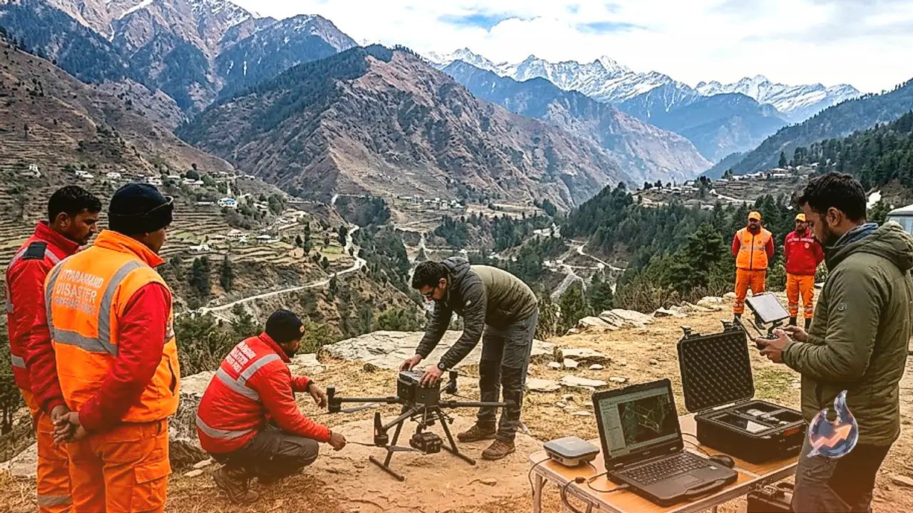

A large portion of the remote mountainous terrain in Uttarakhand remains notoriously difficult to access. Surrounded by towering peaks, deep valleys, and snow-capped glaciers, these isolated regions are now being closely monitored through modern technology. Advanced tools are proving invaluable in gathering precise data regarding forest health, landscape alterations, and potential landslide risks. Even where physical access is blocked, authorities maintain a close watch using aerial drones, high-resolution satellite photography, and digital mapping systems.
The Crucial Role of Space Applications
At the forefront of this initiative is the Uttarakhand Space Application Centre. Mannu Belवाल explained that space technology is being harnessed to drive the state's development and ensure the sustainable management of its natural resources. This approach helps experts understand ground realities in hilly regions, monitor ongoing environmental shifts, and gather essential data swiftly during emergency situations.
Mapping Inaccessible Regions via Drones and Satellites
Because much of Uttarakhand's geography is rugged and mountainous, traveling by road to every corner is often impossible. In such scenarios, drones capture detailed aerial footage and photographs of specific locations, while satellites scan vast expanses of land simultaneously. By comparing these images with historical data, researchers can detect structural changes over time in any given area. Through remote sensing technology, comprehensive data concerning soil composition, vegetation, and natural reserves is compiled. This data is subsequently processed and mapped digitally using Geographic Information Systems for in-depth analysis. Hoshiyar Singh noted that these innovations yield critical insights for planning road construction, land utilization, forest preservation, and water resource management in the mountains. This empowers administrators and specialists to comprehend regional terrain conditions and plan developmental projects more efficiently.
Tracking Landslides and Glacial Shifts
Mountainous zones remain perpetually vulnerable to sudden landslides. Furthermore, keeping a close eye on transformations within forests, rivers, and glaciers is vital. Space-based technology allows researchers to study these fragile environments thoroughly. Monitoring glaciers and river systems across the Himalayas holds special significance, as climatic and geographical shifts directly impact both the ecosystem and human habitation. Cross-referencing temporal satellite data helps identify variations in glacier surface areas, plant cover, and soil stability. However, relying solely on satellite visuals cannot uncover every minute detail, which is why scientific analysis and on-ground field surveys remain equally indispensable when necessary.
Streamlining Rescue Operations During Disasters
Heavy rainfall, flash floods, and landslides frequently trigger road blockades across Uttarakhand, cutting off communication lines to numerous remote villages. Under such critical circumstances, reaching affected communities and measuring the true extent of damage becomes exceptionally challenging. Utilizing drones and satellite feeds enables a rapid assessment of disaster-stricken zones, swiftly identifying destroyed roadways, blocked pathways, and stranded populations. Armed with this accurate data, executing rescue and relief operations becomes significantly more organized. Ultimately, integrating space technology in a geographically challenging state like Uttarakhand proves immensely beneficial across multiple fronts. It aids in supervising natural assets, interpreting environmental trends, and enhancing preparedness against natural calamities. To maximize these benefits, continuous analysis of technological data and its timely dissemination to relevant government departments remain imperative.