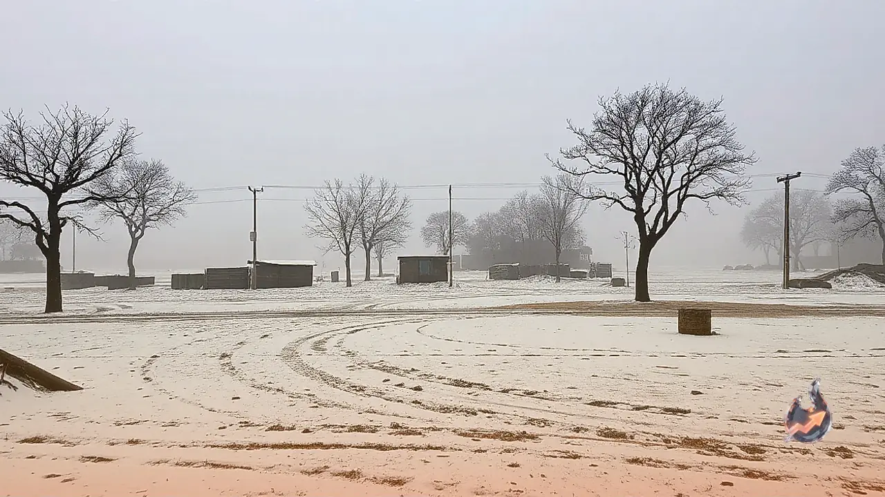






















The weather patterns across the country are undergoing rapid changes once again. Following the recent passage of cyclones Arnab and Murasu, a completely new weather system is rapidly taking shape across seas, mountains, and plains. The impact of an active Western Disturbance originating in the Himalayan region is currently being felt across Jammu and Kashmir, Punjab, Haryana, Himachal Pradesh, and the Delhi-NCR region. While parts of the Kashmir valley are witnessing a spell of rainfall accompanied by snowfall, the skies over Delhi and its adjoining areas are witnessing alternating patches of clouds. The India Meteorological Department has flagged the formation of a fresh system over the Bay of Bengal. According to IMD scientists, this system is currently operating as a low-pressure area, which is projected to intensify into a depression over the coming hours, with strong potential to transform into a full-fledged cyclonic storm by November 16, 2026. Just weeks after consecutive powerful cyclones wreaked havoc across coastal regions, a fresh threat is now looming large.
Emerging Cyclone Threat in the Bay of Bengal
According to the meteorological department, the threat of a cyclonic storm is once again looming over the Bay of Bengal. Following the formation of a low-pressure area over the southeast Bay of Bengal, the IMD has projected its gradual intensification into a severe cyclone. As per the weather office's official forecast, this active weather system is expected to evolve into a well-marked low-pressure area on November 14 and further strengthen into a depression by November 15. Moving in a north-north-westward direction, it is likely to culminate into a cyclonic storm over the central Bay of Bengal by the evening of November 16. This significant weather activity is anticipated to trigger widespread impacts across several parts of the country, particularly leading to an escalation in rainfall activity across Andaman and Nicobar Islands, Tamil Nadu, Puducherry, Kerala, and the coastal stretches of Andhra Pradesh.
New Western Disturbance Griping Northwest India
While the southern and eastern coasts brace for cyclonic turbulence, weather conditions in northwest India are also set to witness a shift. The meteorological department has indicated that a fresh Western Disturbance is likely to become active over northwest India starting November 15. Under the direct influence of this incoming system, several states including Jammu and Kashmir, Ladakh, Himachal Pradesh, and Uttarakhand are expected to experience widespread precipitation accompanied by thunder, lightning, and strong gusty winds. Authorities continue to closely monitor both weather phenomena, issuing timely updates and advisories for residents and administration in the affected regions.